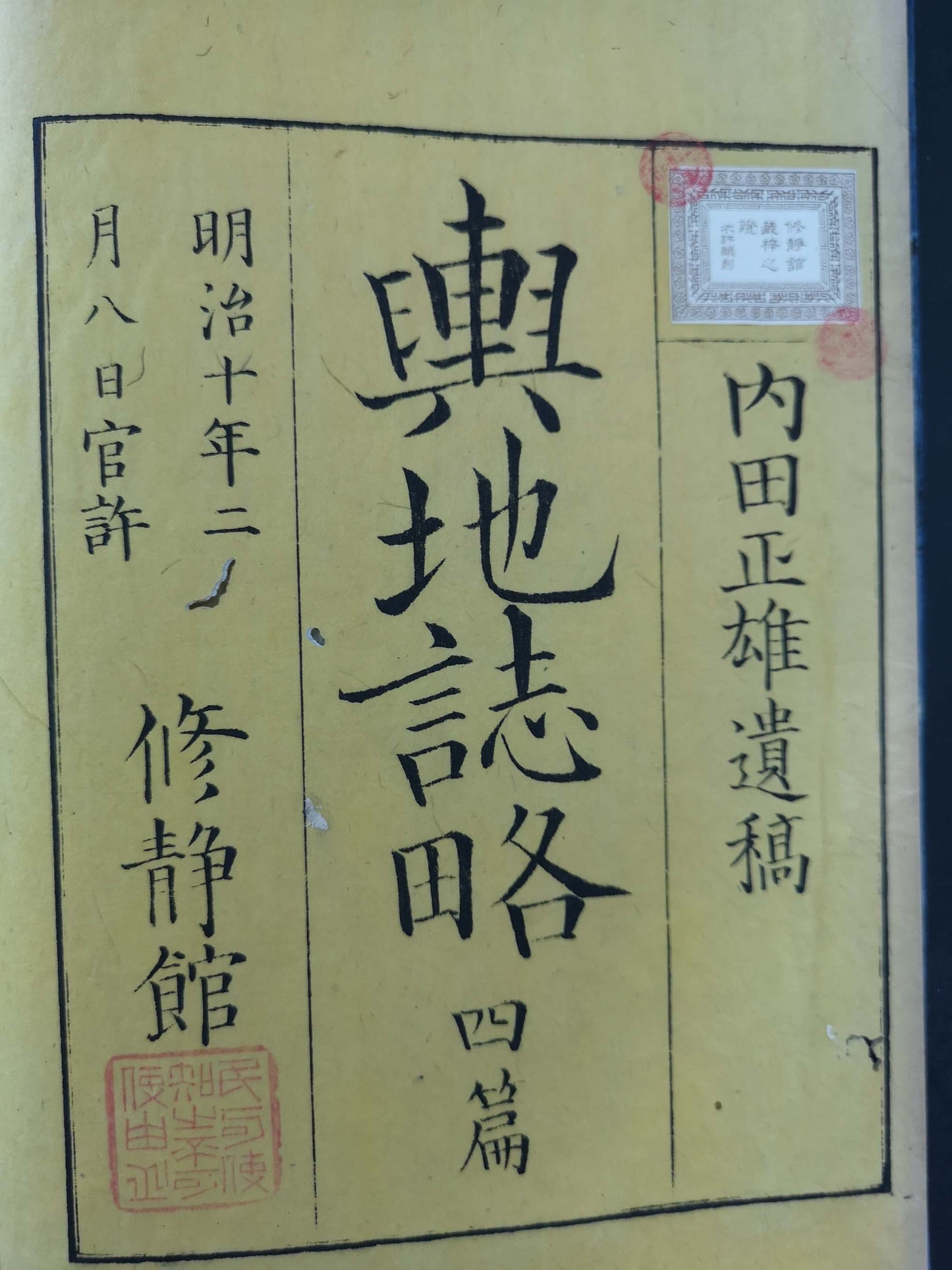
Woodblock print illustrated books - Published by Mombushō (Ministry of Education) (13) - Togai Kawakami, Masao Uchida, Tsuji Shikaku, Terauchi Shōmei - "Yochi shiryaku" 輿地誌略 (Compendium of World Geography) - 13 volumes - Japan - ca 1870-80 (Meiji period 3-13)
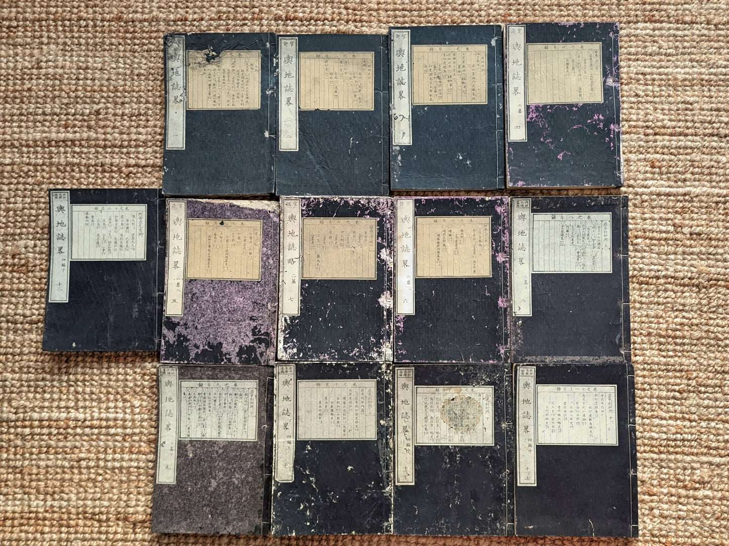
This is the rare and I dare say unique (I haven't been able to find any other complete set on the market) complete original edition containing 12 volumes. I volume is missing from the series (volume 12)
A complete set of the famous Yochi Shiryaku (輿地誌略) - 12 volumes. Along with Edo Meisho Zue & Miyako Meisho Zue, these were the most famous sets of the knowledge- flourishing Meiji era
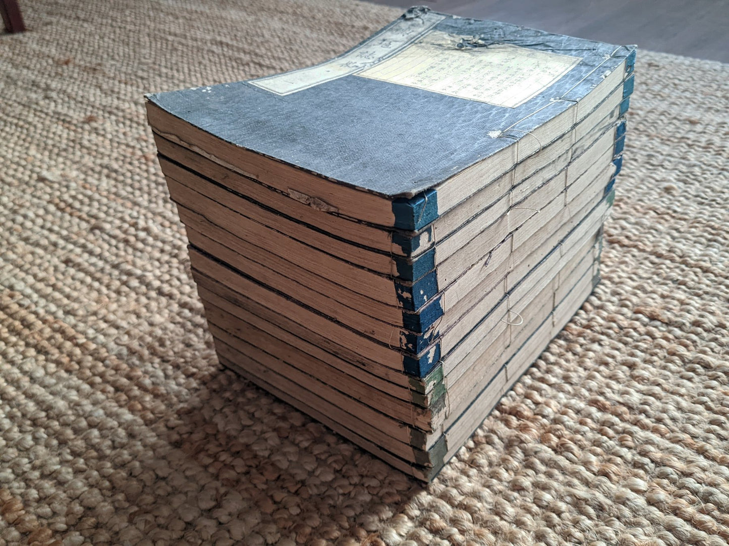
Original dark-blue covers with printed title-slips, impeccable set. Here and there occasional very small worm woods at the sides of pages. No image affected by wormwood. No foxing, no tears, no pages missing, no stains, original fukurotoji bindings mostly intact (In 3 volumes bindings are a bit torn and loose). Upper cover of a few volumes has a few blemishes and wearing. Normal yellowish due to age. Tokyo, Nakamura Kumajiro/ Kobayashi Shinbe, Meiji 3-Meiji 13
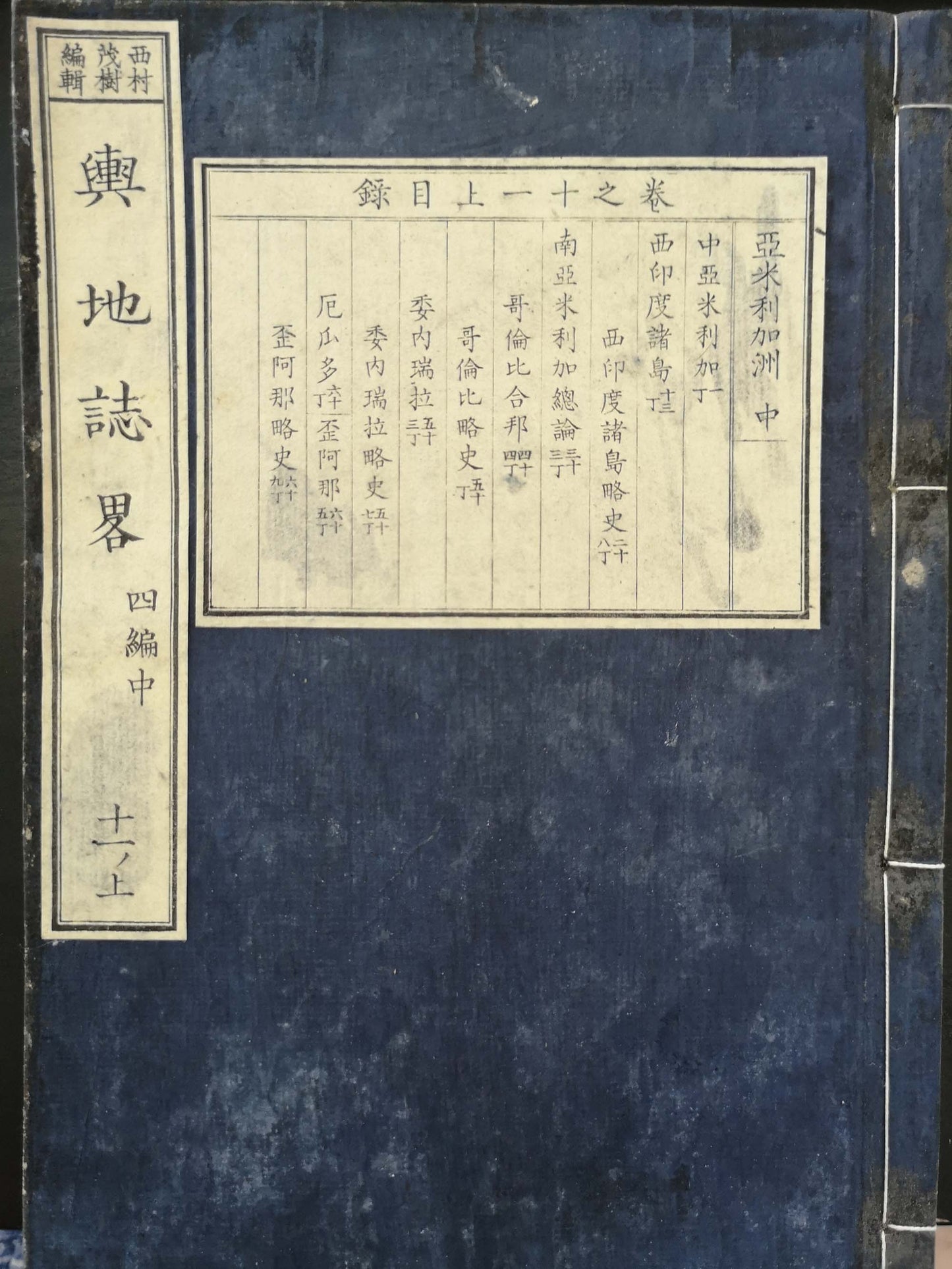
This first edition is 9 -volumes with later Meiji editions adding 4 more volumes, in total 13 volumes. Volume 10-13 was compiled by Shigeki Nishimura, as the original author, Masao Uchida, died. The four volumes were written by Nishimura Shigeki (1828-1902) after Uchida's death. It appears that these last four volumes were not issued separately but that a new publisher (Shuseikan who had already published vol. 9) reprinted the entire work.
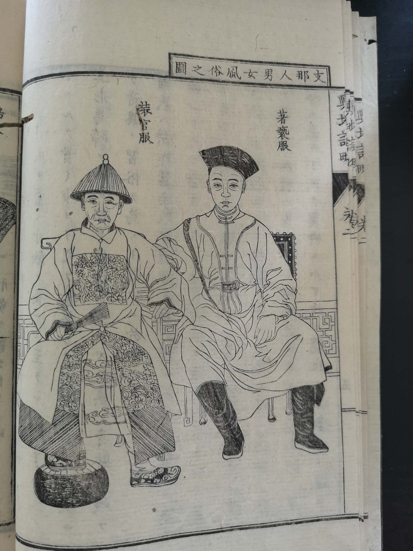
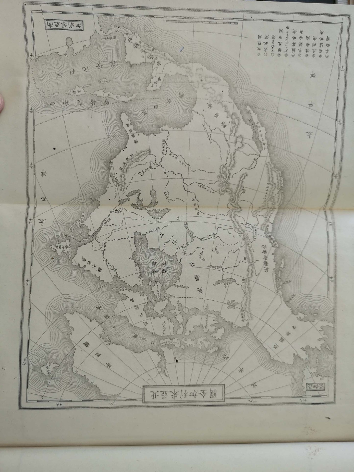
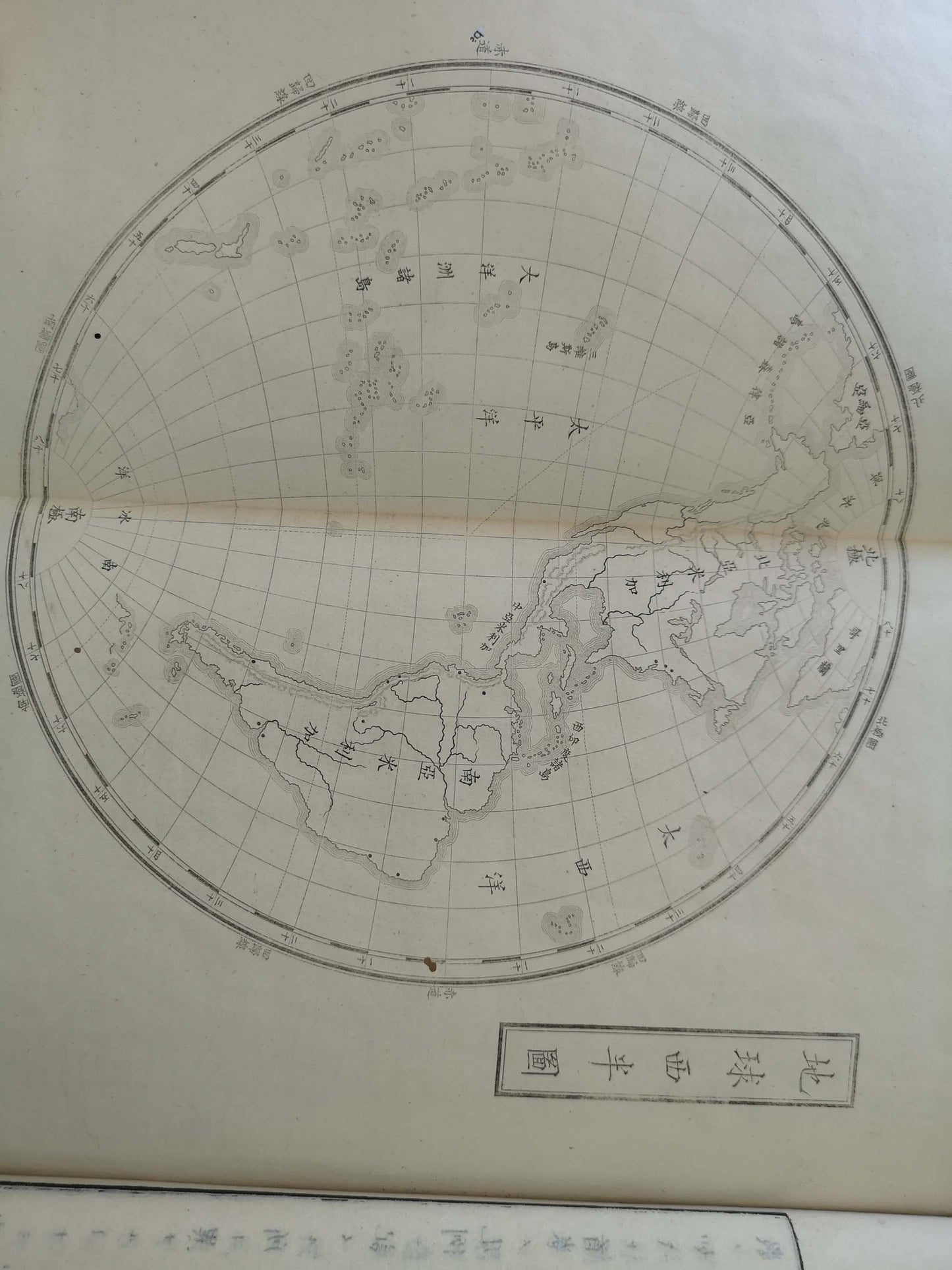
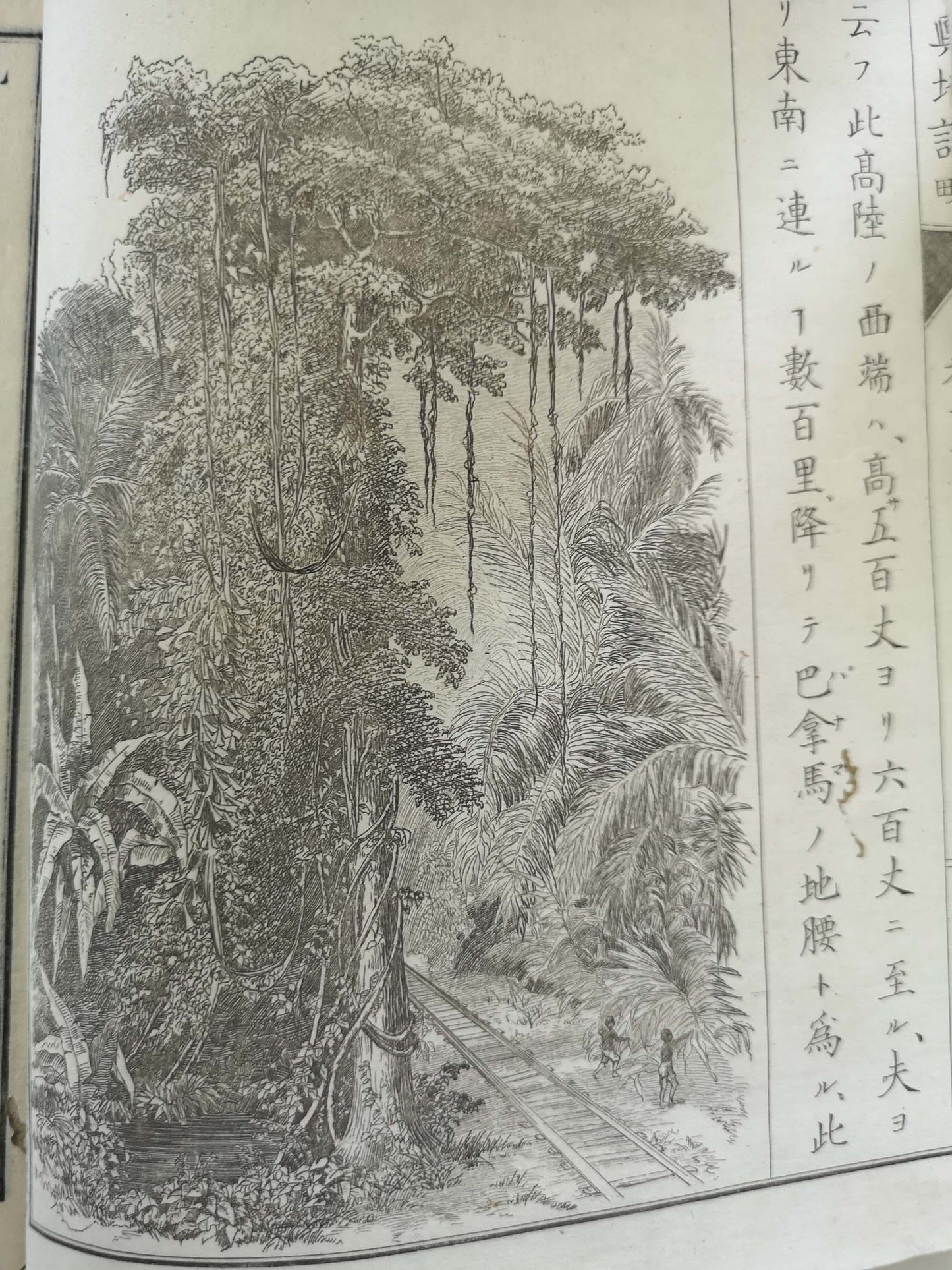
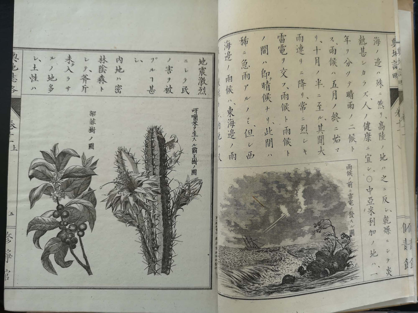
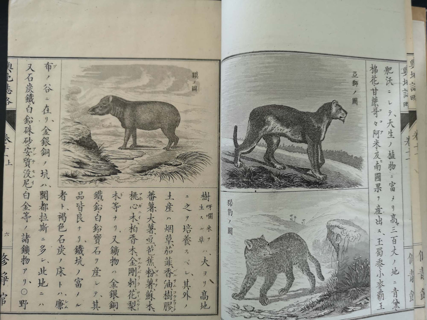
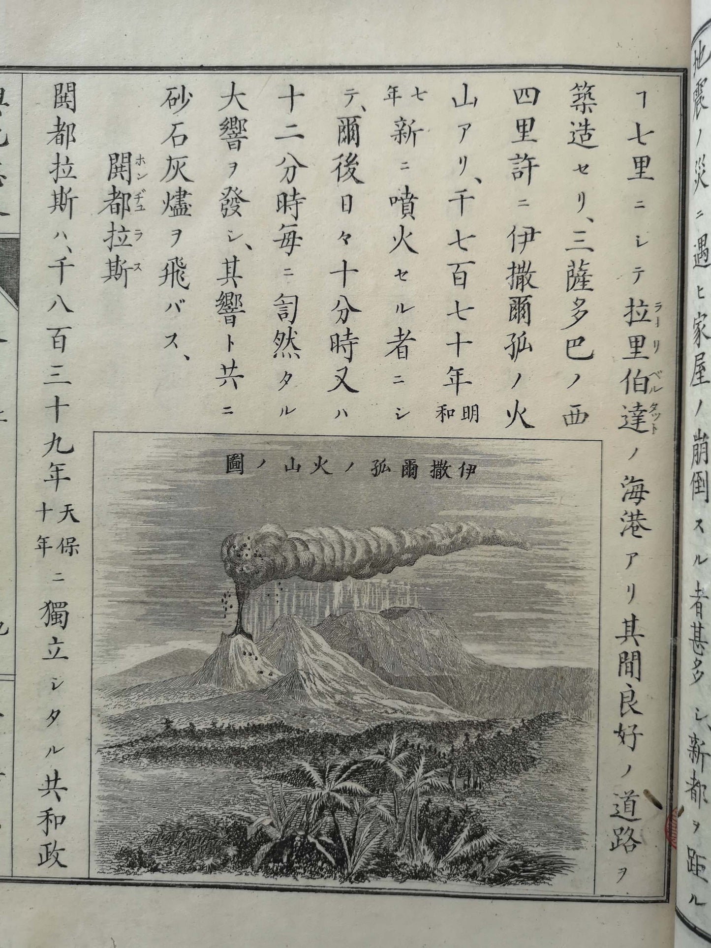
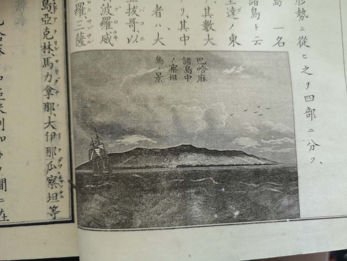
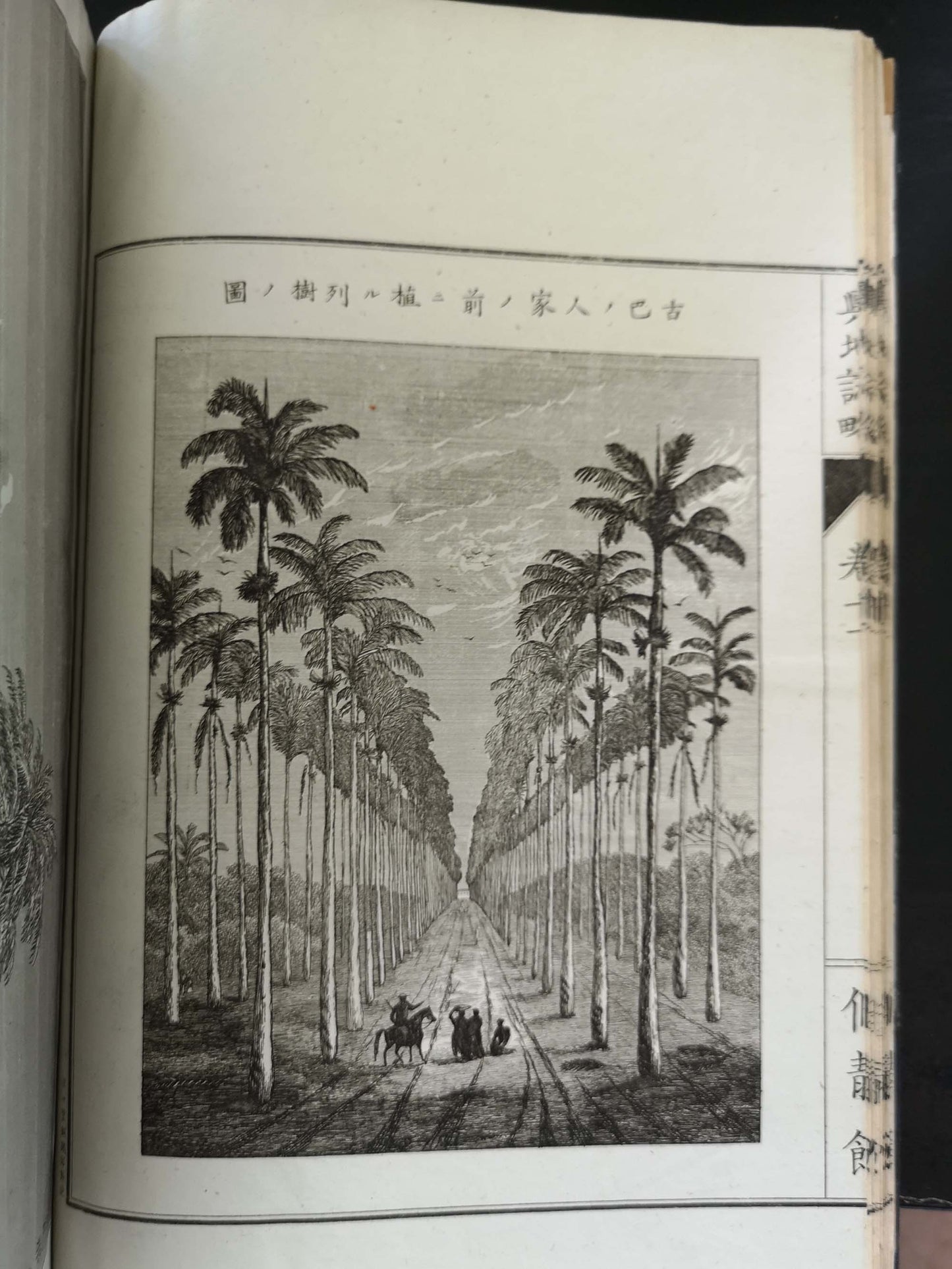
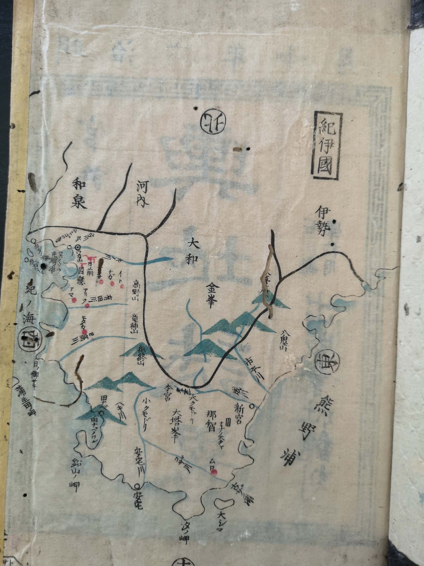
The most well-used world geography textbook in early Meiji, compiled by former Edo Goverment officer, Masao Uchida. He was sent to Netherlands by the shogunate from 1863 to 1866, to gather information to compile this title. This title was published in various editions over ten years and used in schools all over Japan, as well as widely read as the book of enlightenment. Masao was one of 15 students sent to The Netherlands by the shogunate in 1863. While studying abroad he collected his sources which he later published as a brief description of world geography, this being the volume on the America’s. His voluminous work was selected as one of the textbooks for the new Meiji school system and features many carefully reproduced illustrations intended to attract the readers. The main text and engravings are printed in traditional Japanese woodblock style on fukurotoji bindings. Illustrated with various and numerous woodblock plates within the text as well as lithographies and coloured/black&white maps.
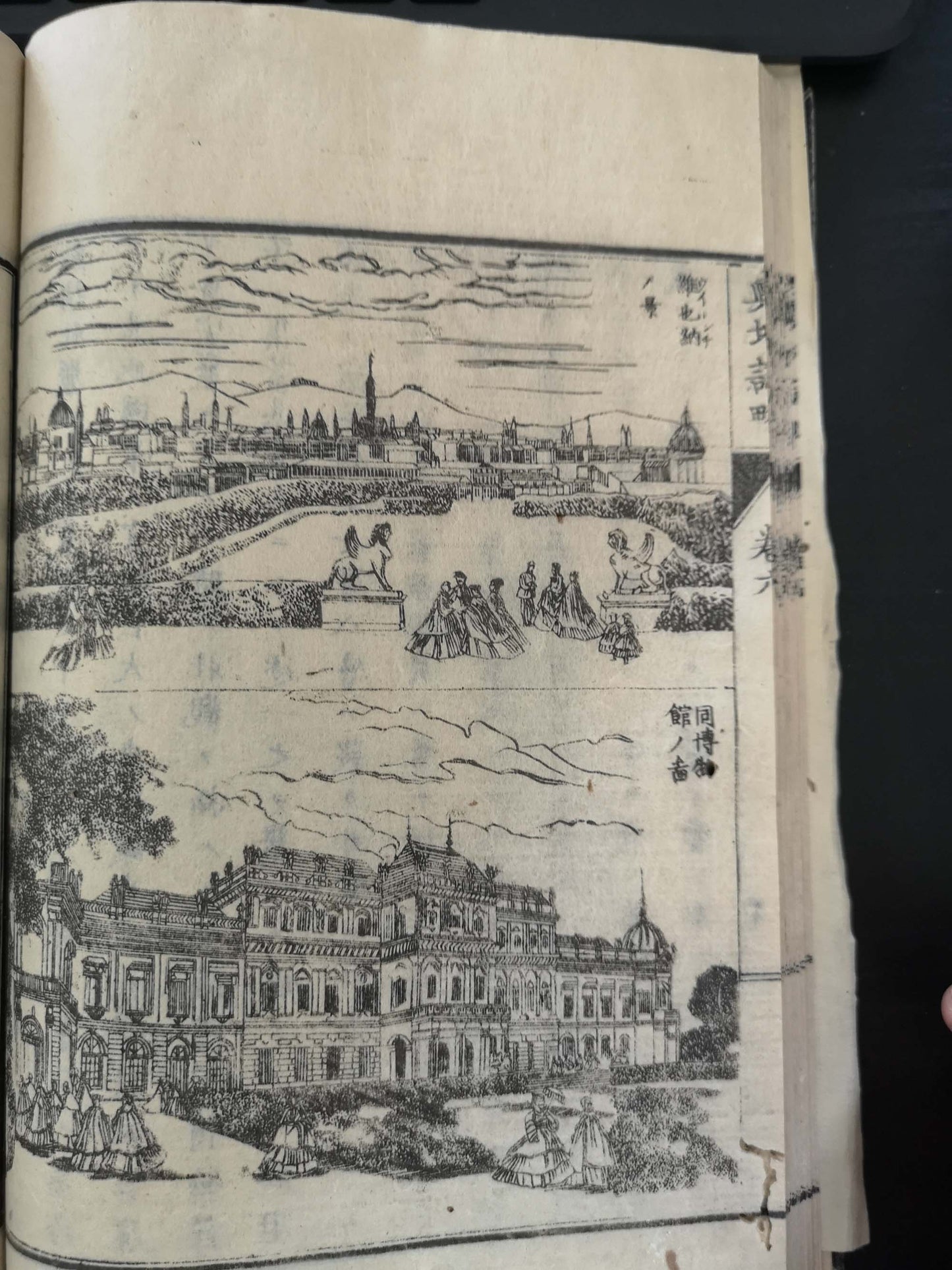
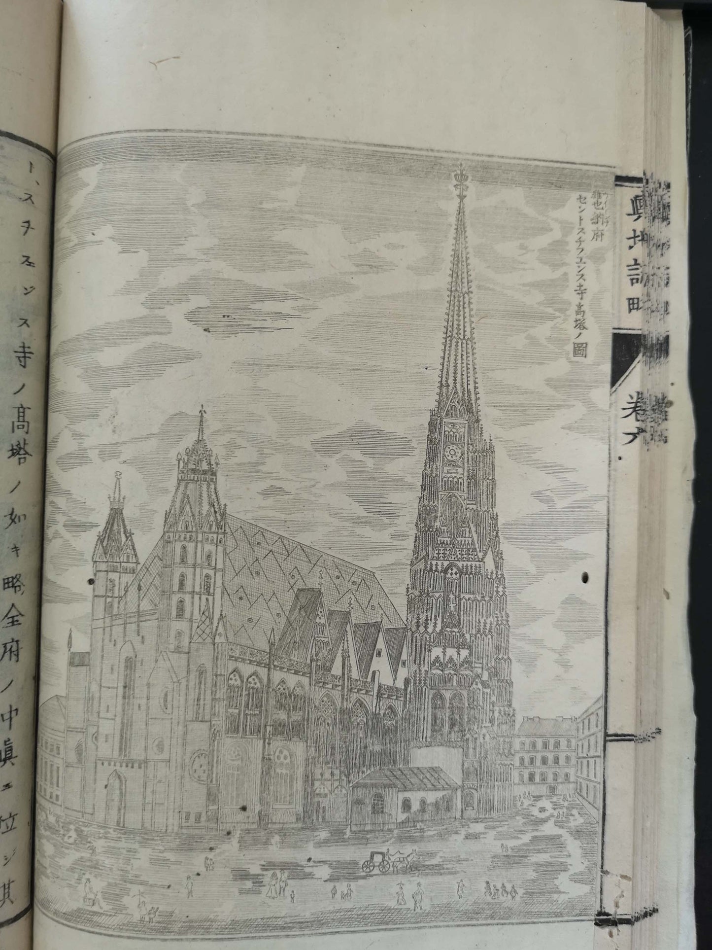
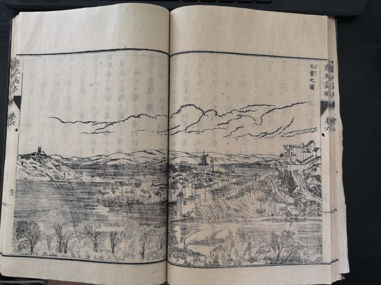
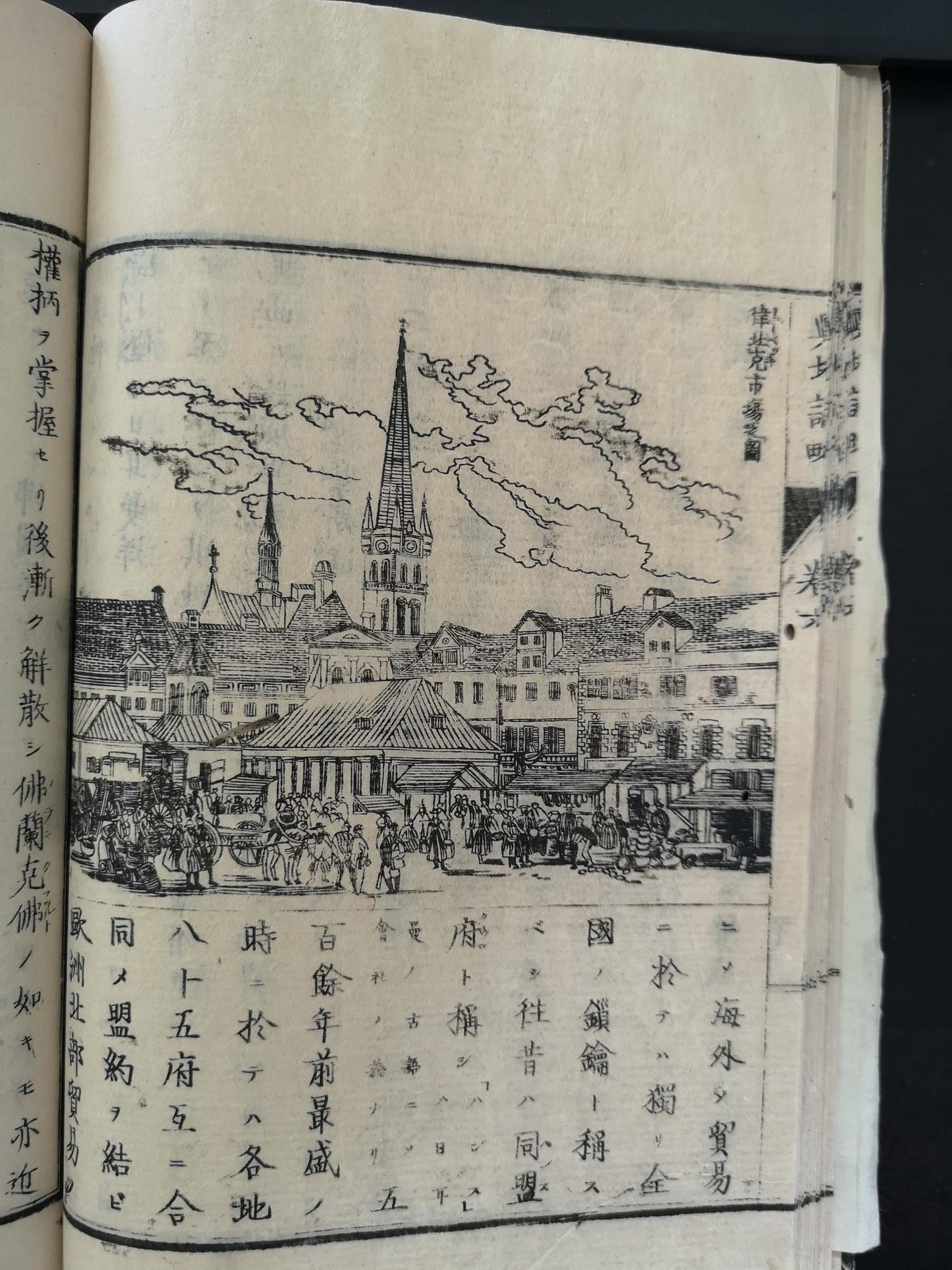
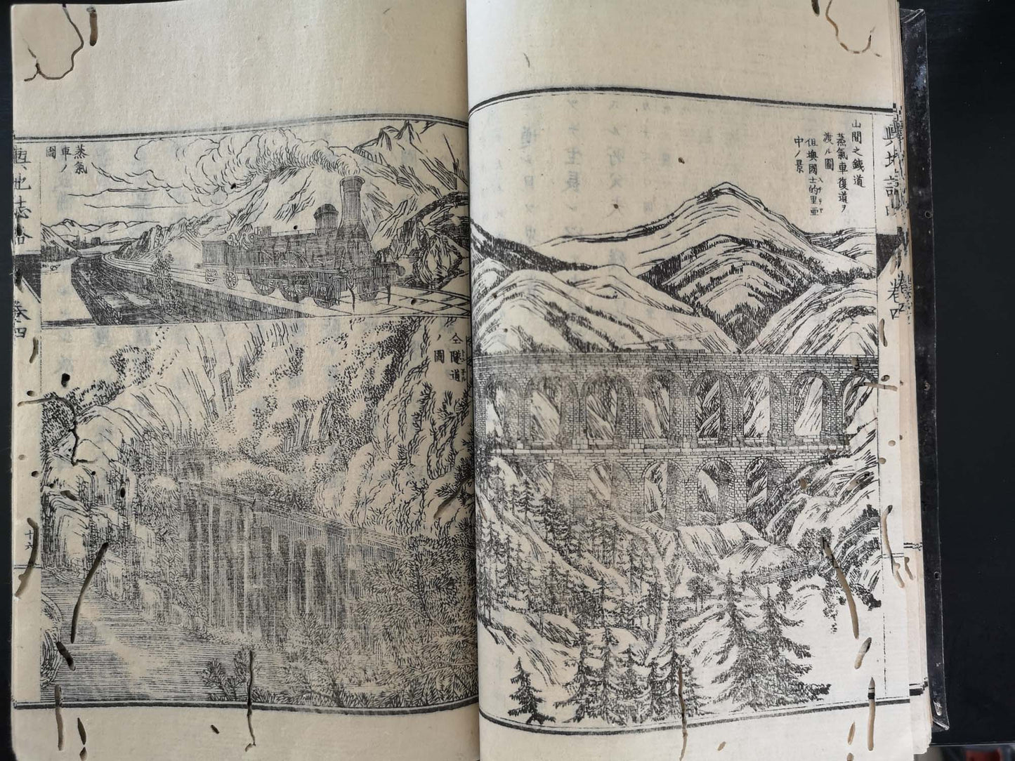
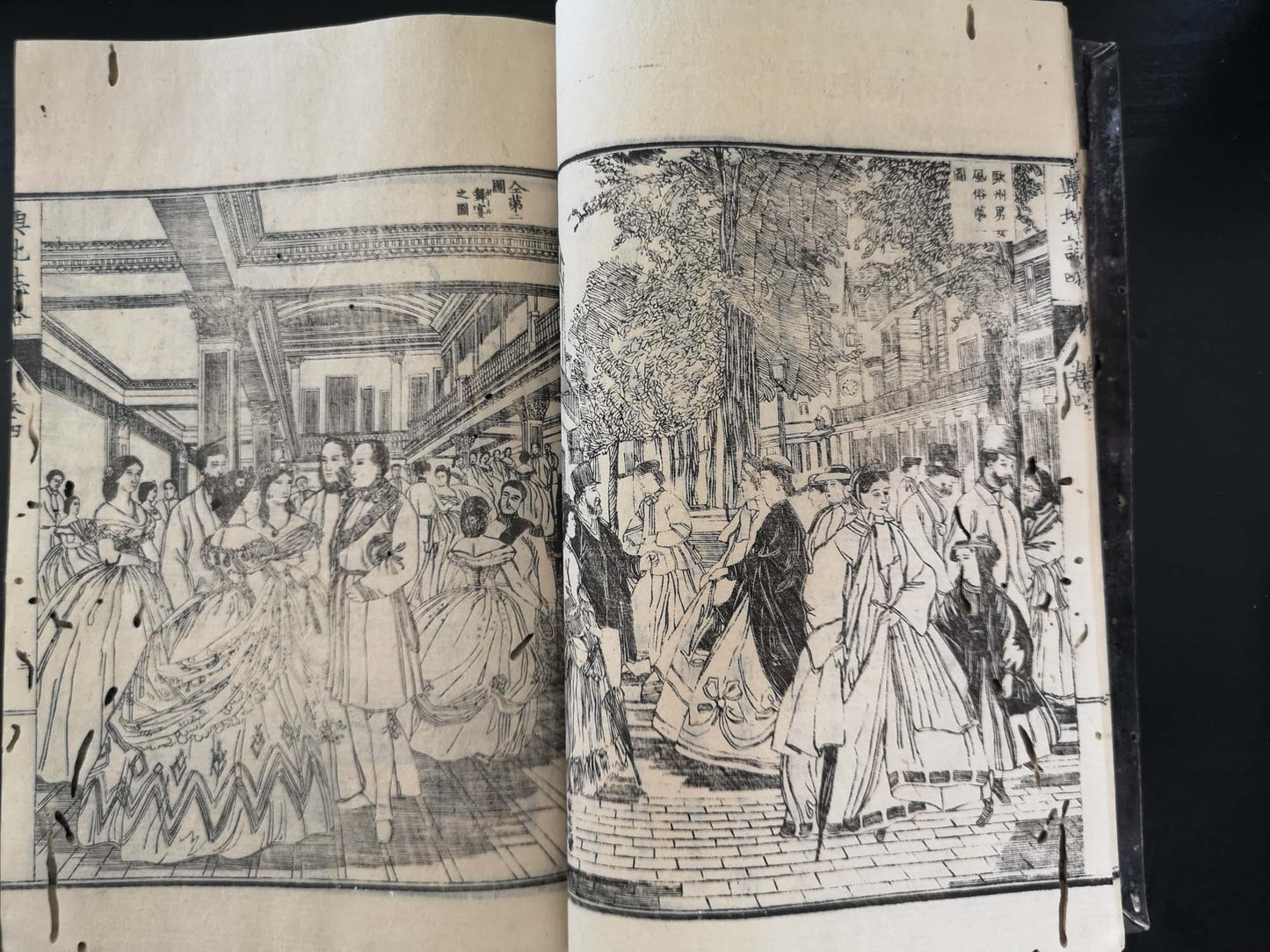
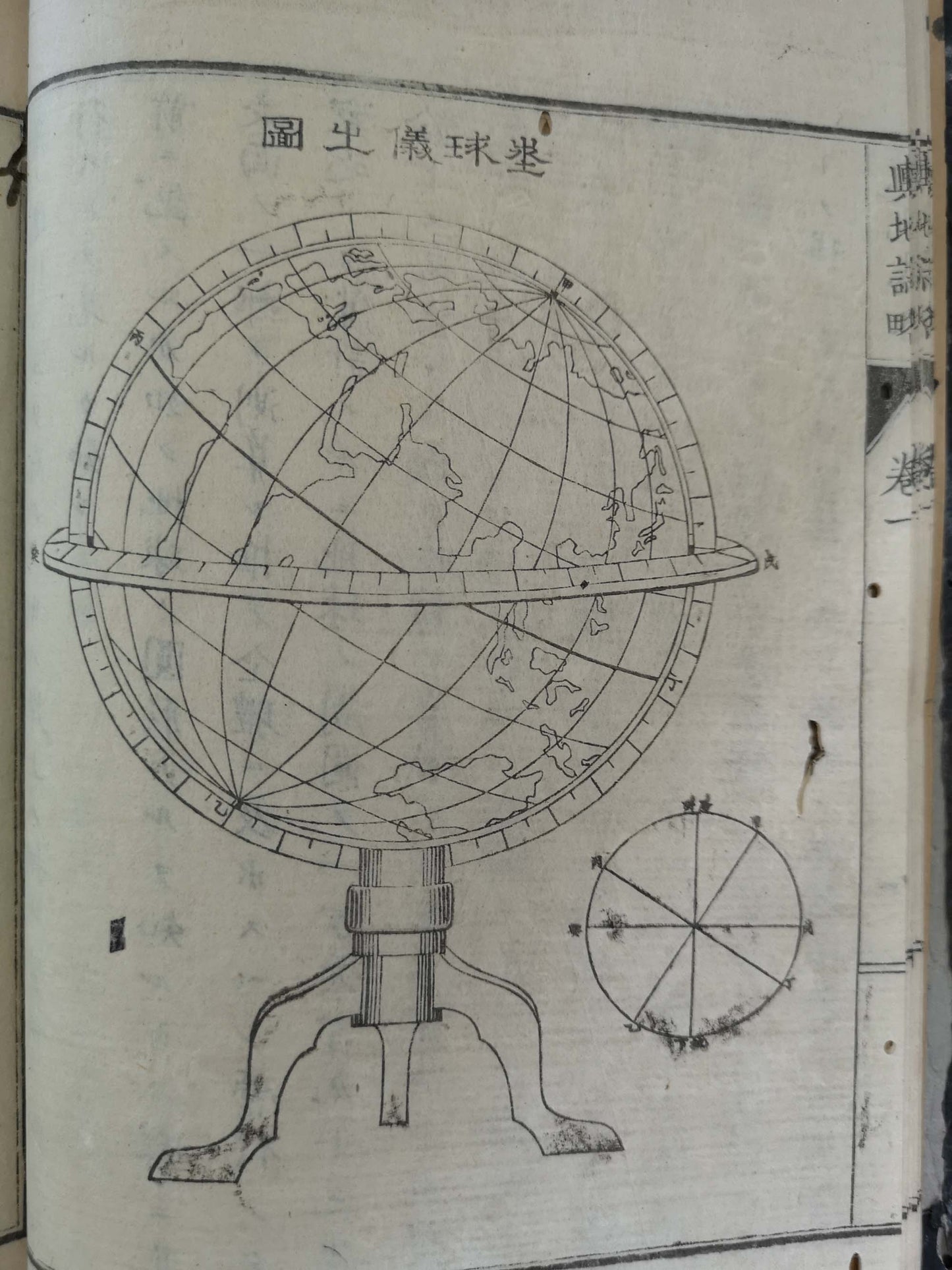
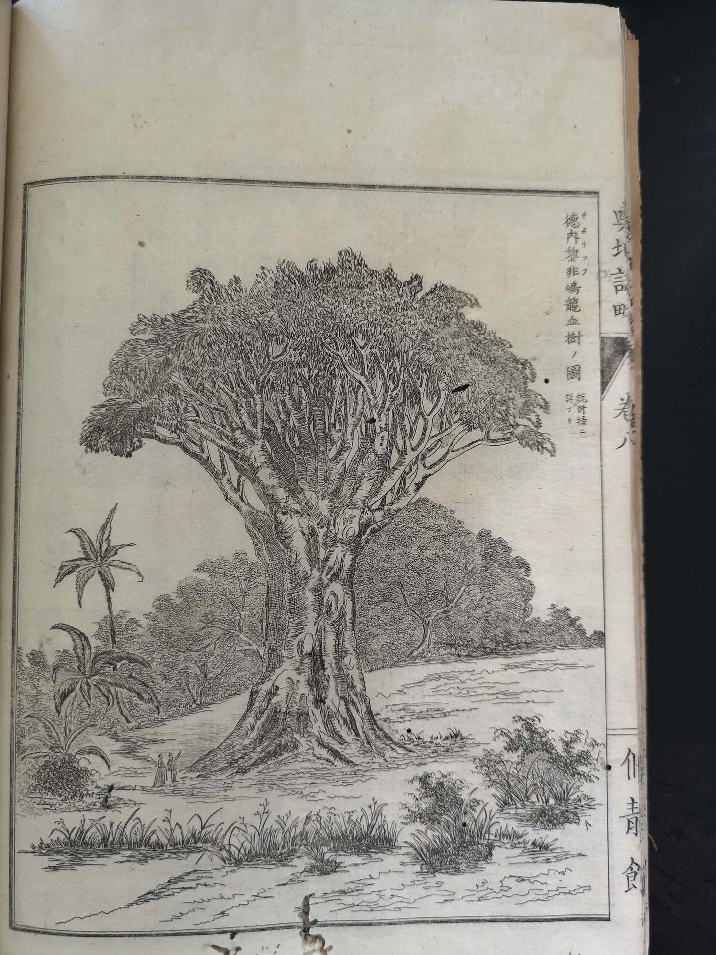
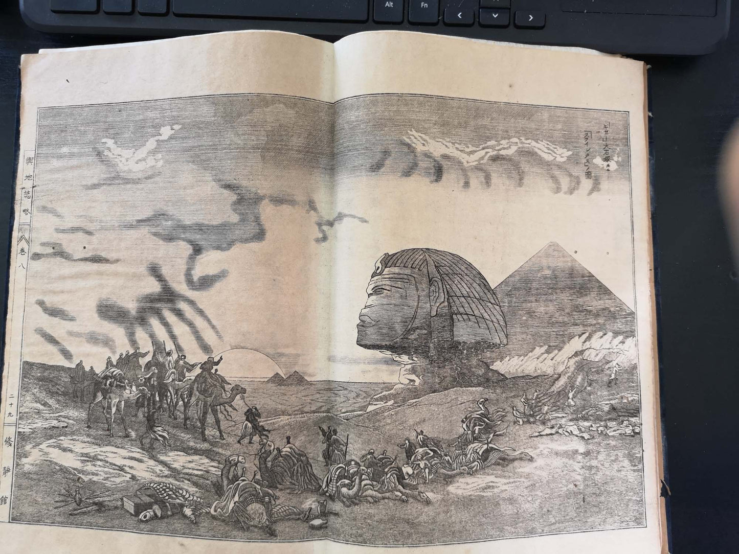
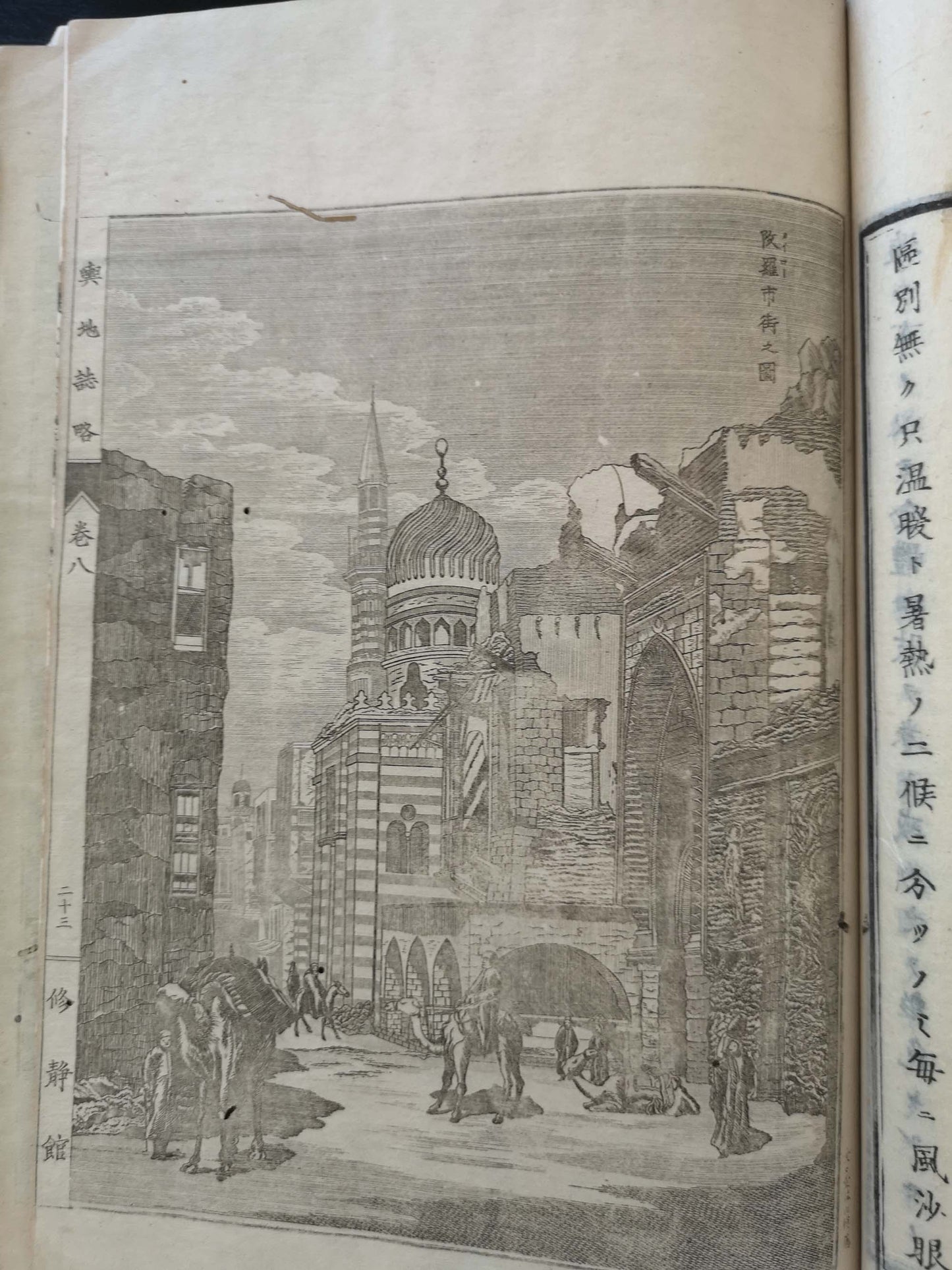
"Uchida began to compile the Yochi Shiryaku in 1870, a thirteen-volume of encyclopedia of world geography. Its success was primarily due to the huge number of illustrations that Uchida called "shashin (photography)," the images copied from the Western photographic albums and traveling magazines."
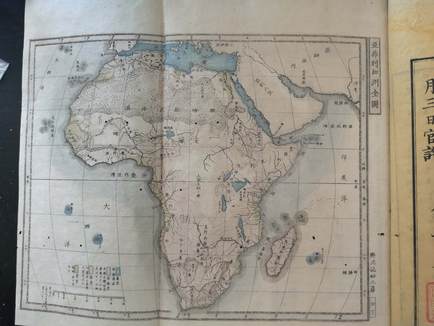
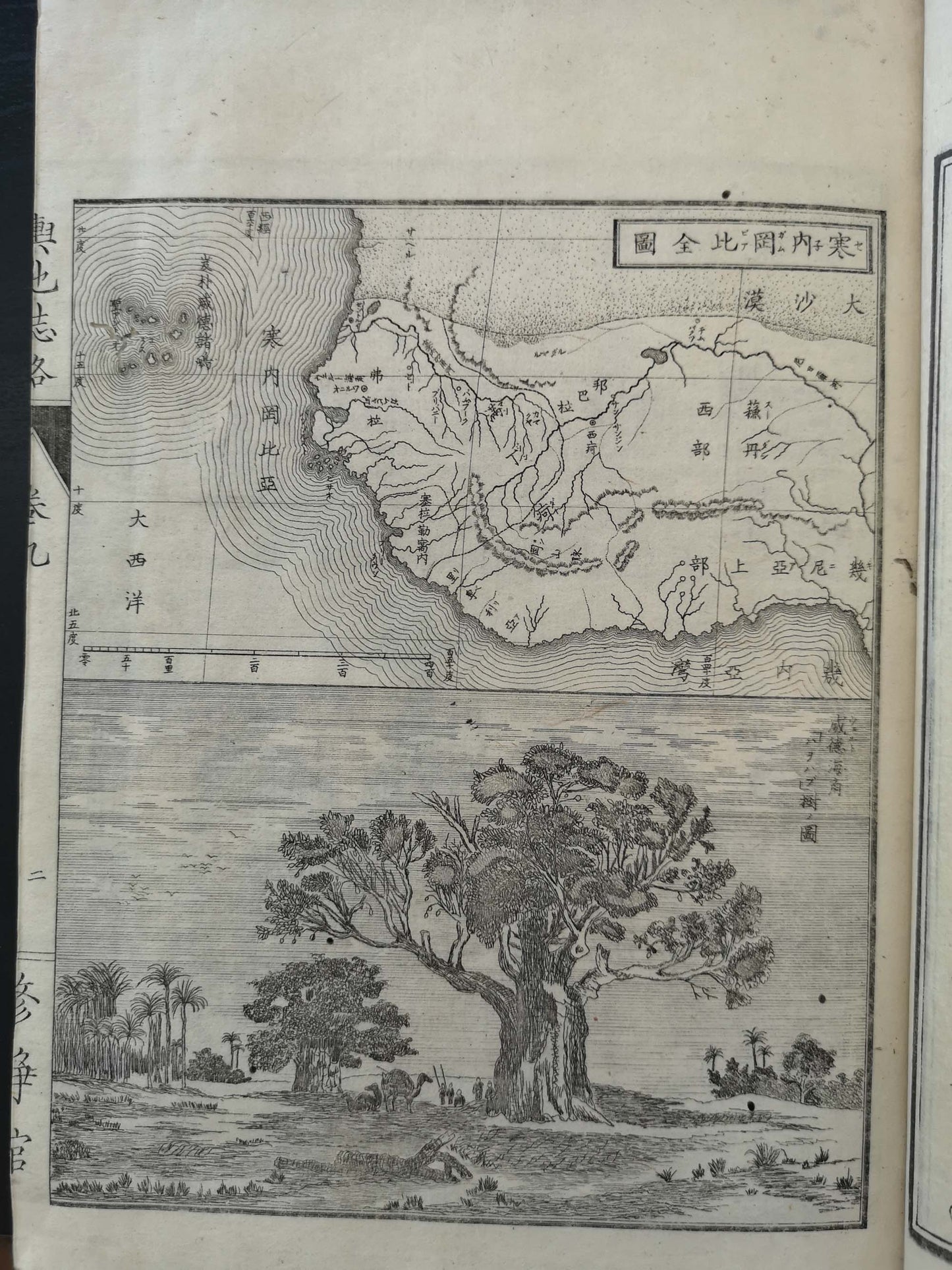
Woodblocks, lithographies, copperplates ca. 300 illustrations, folding maps 6
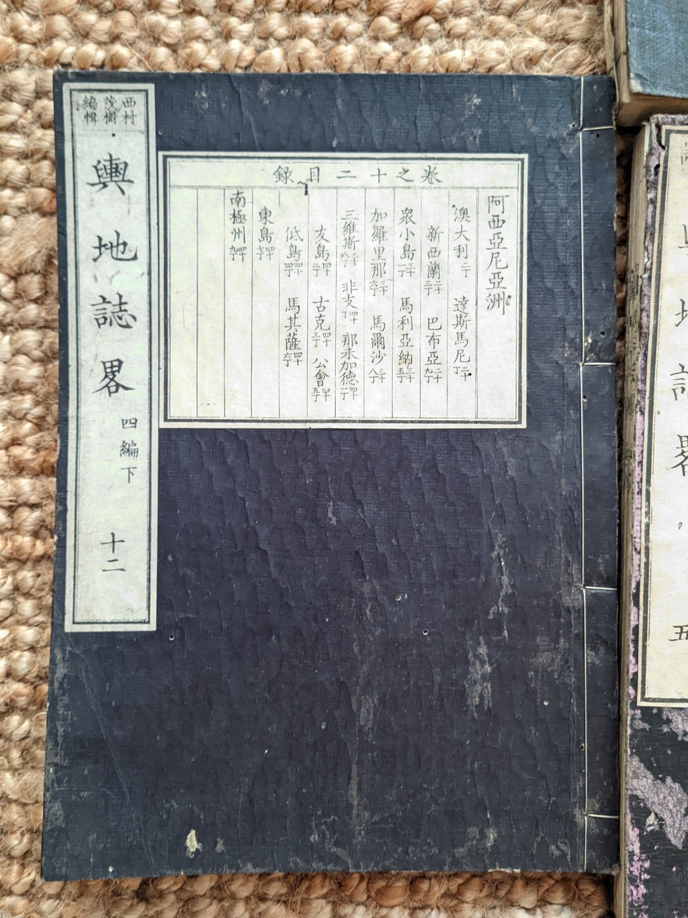
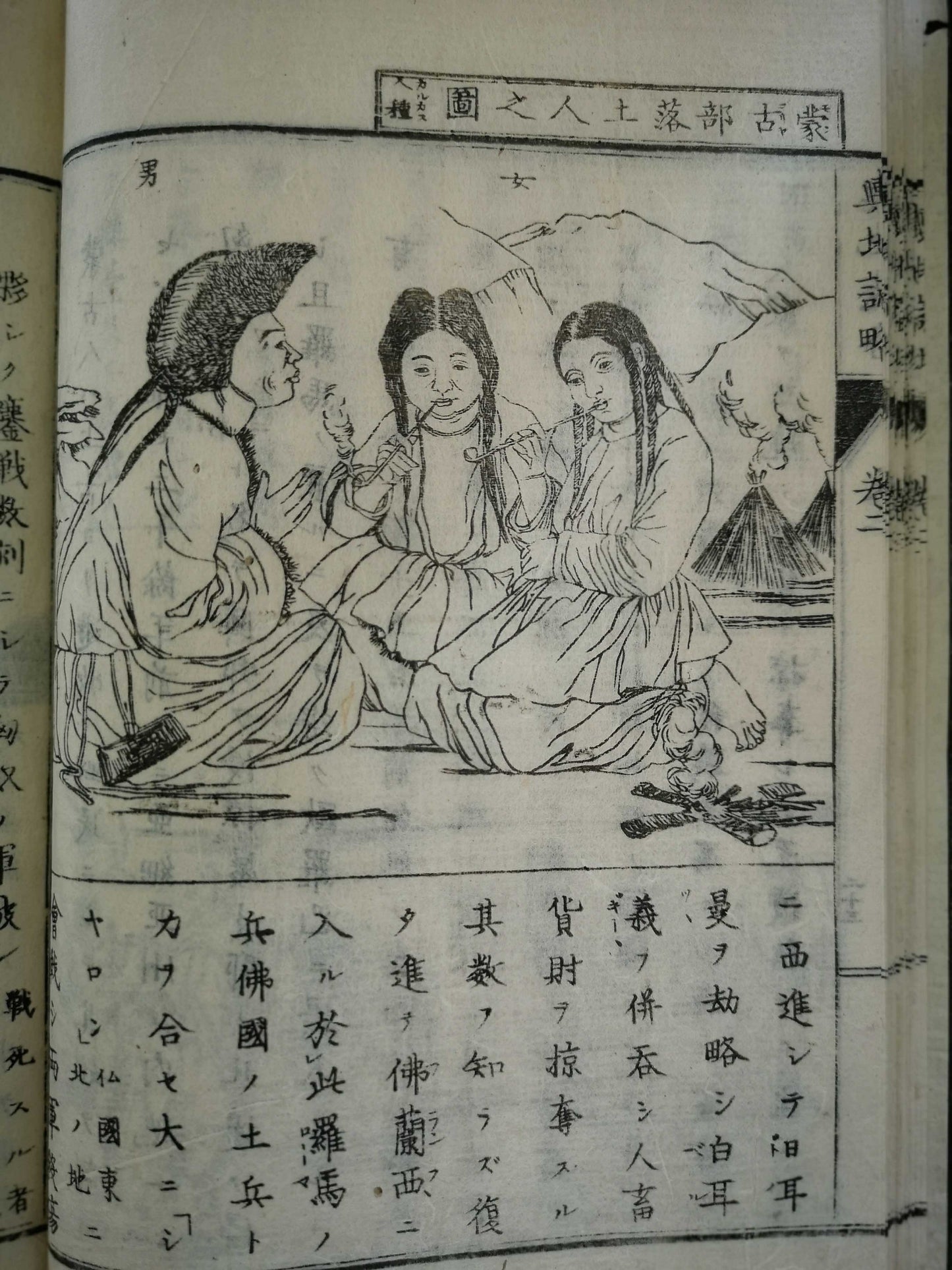
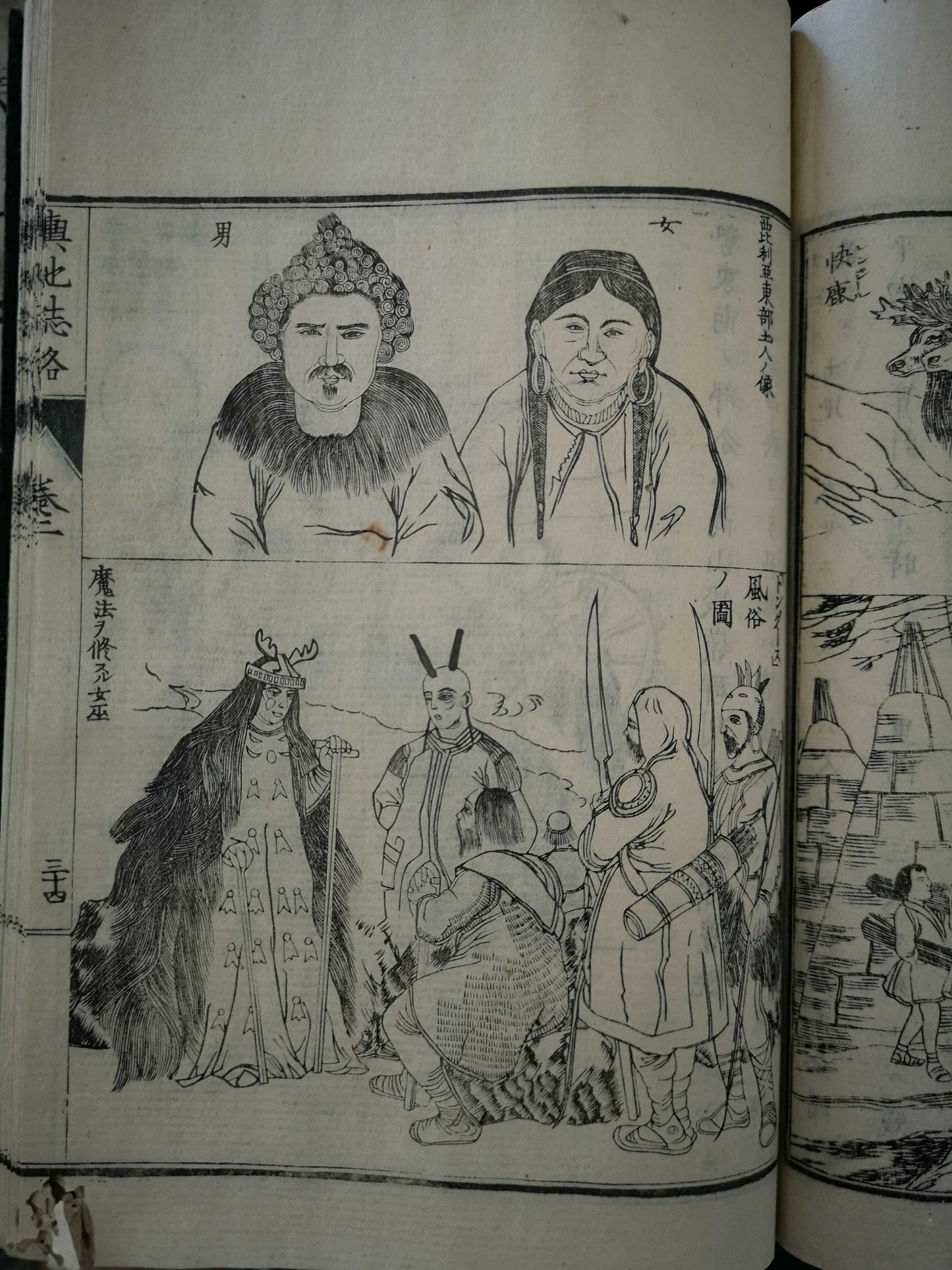
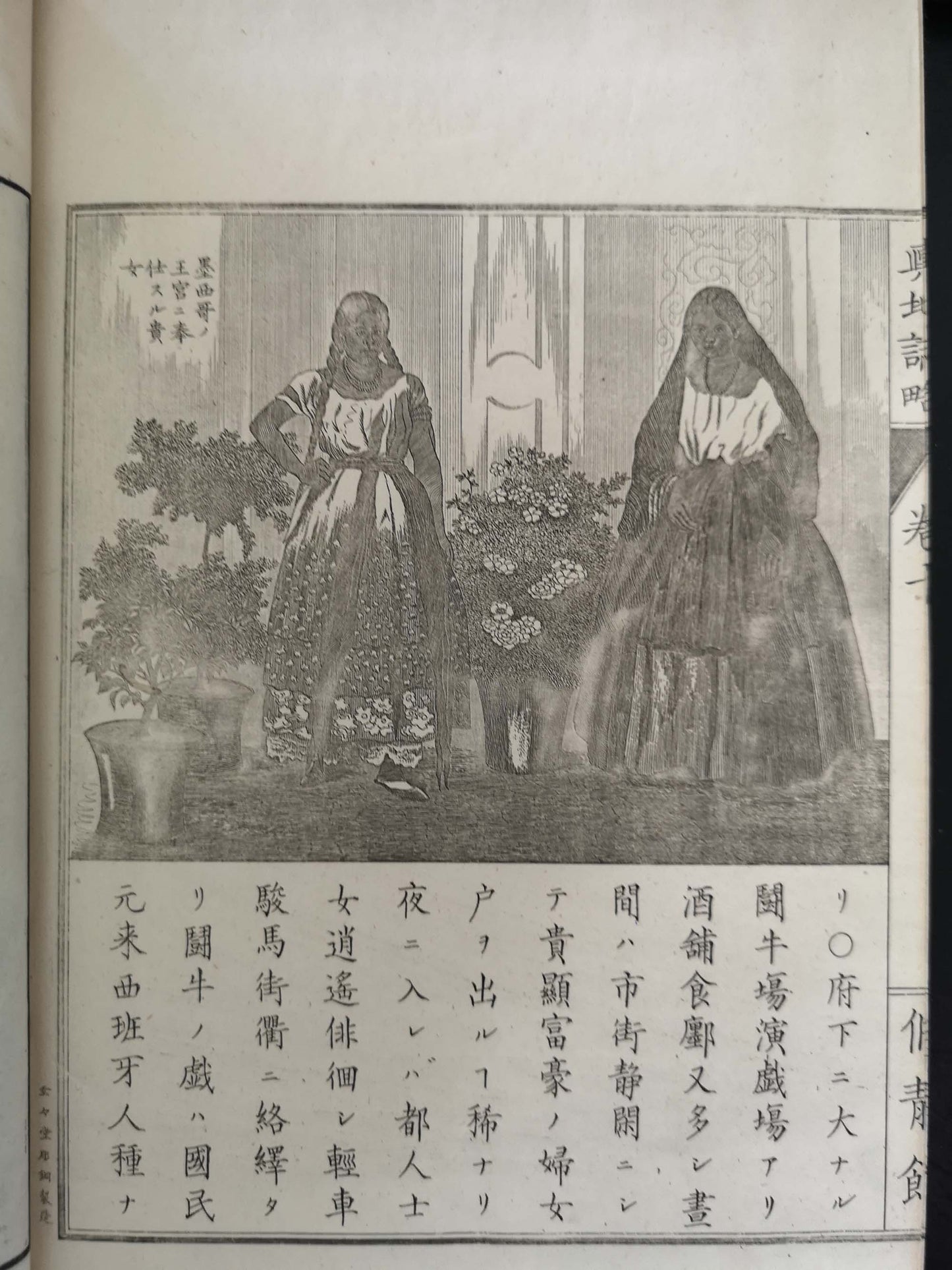
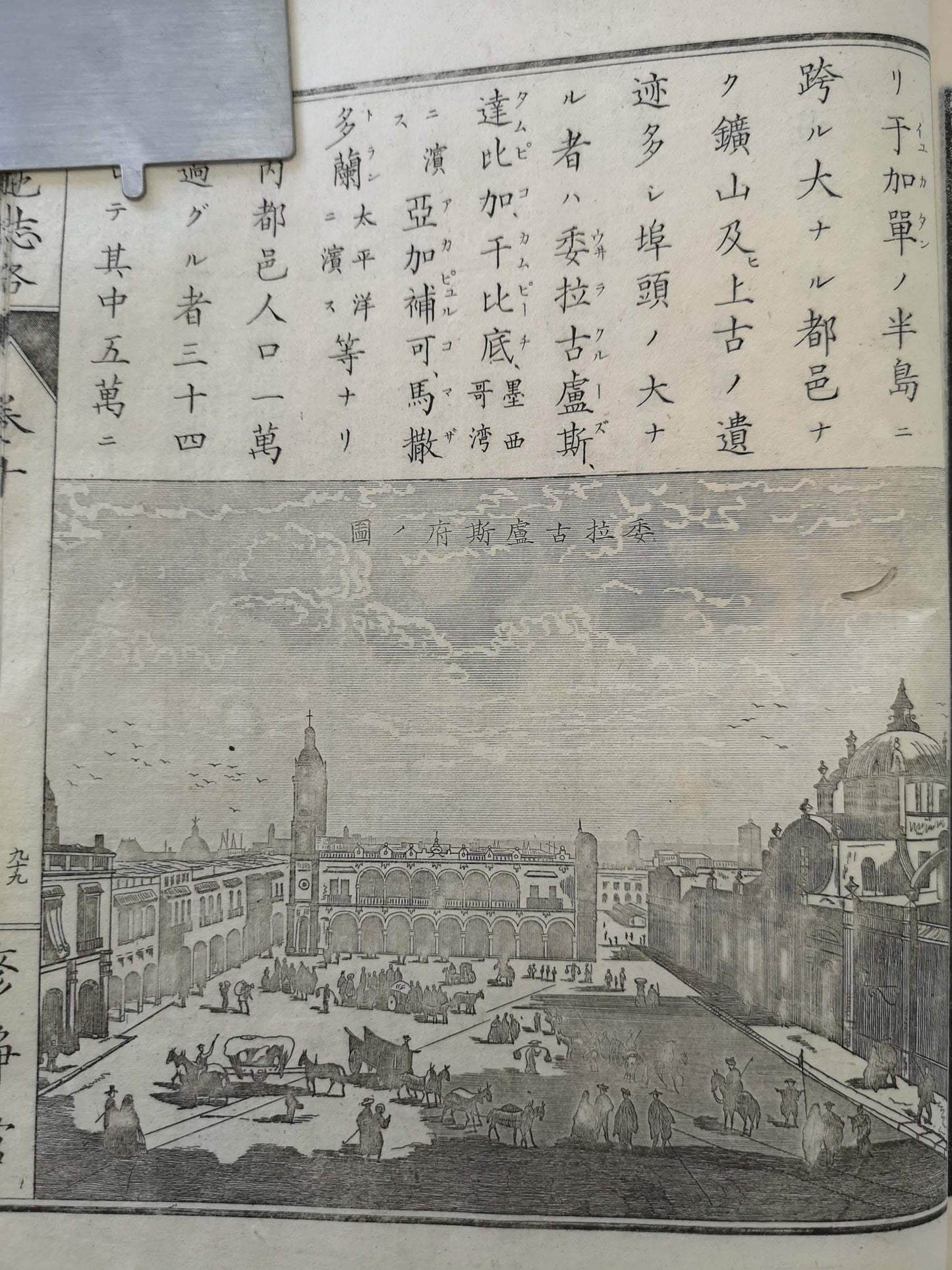
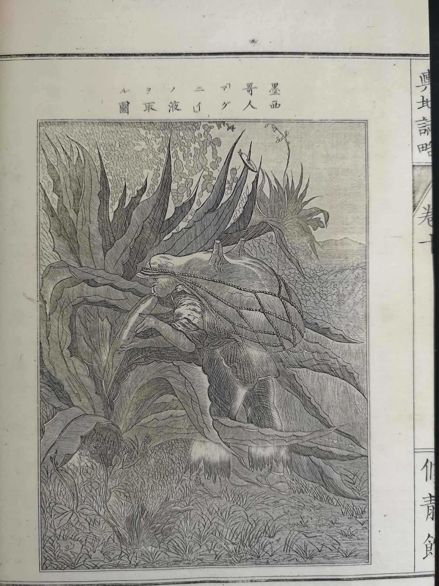
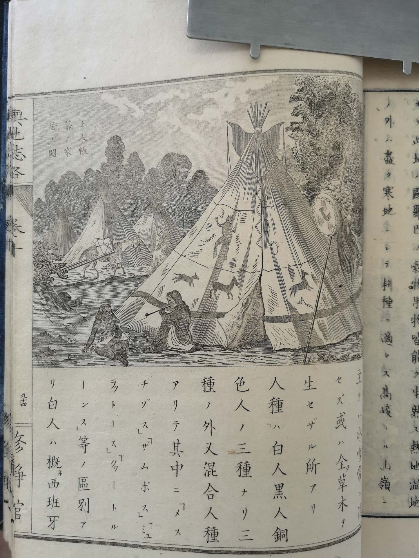
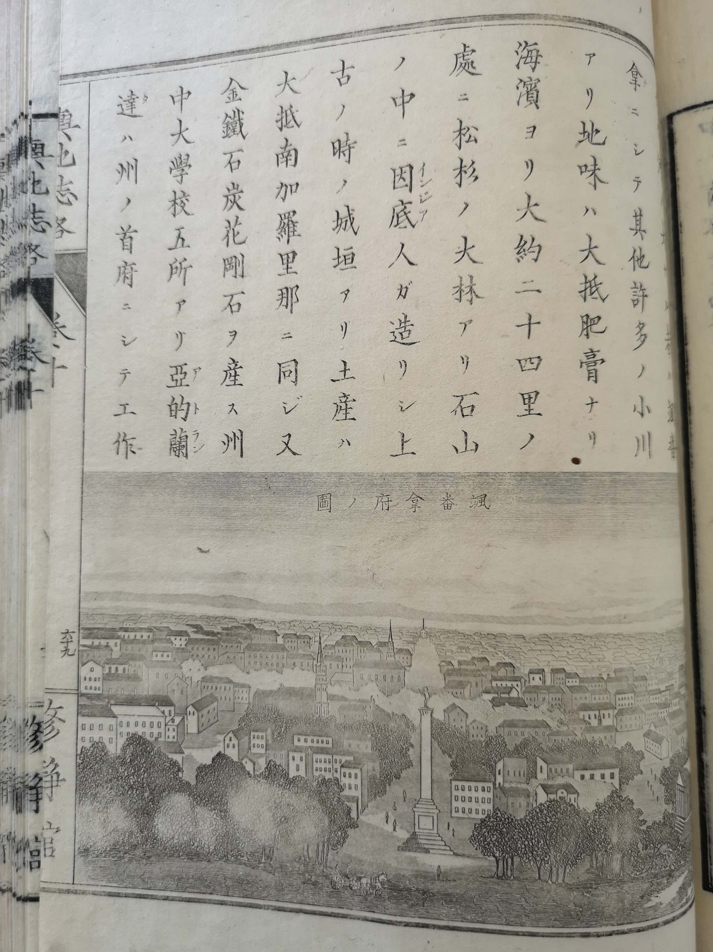
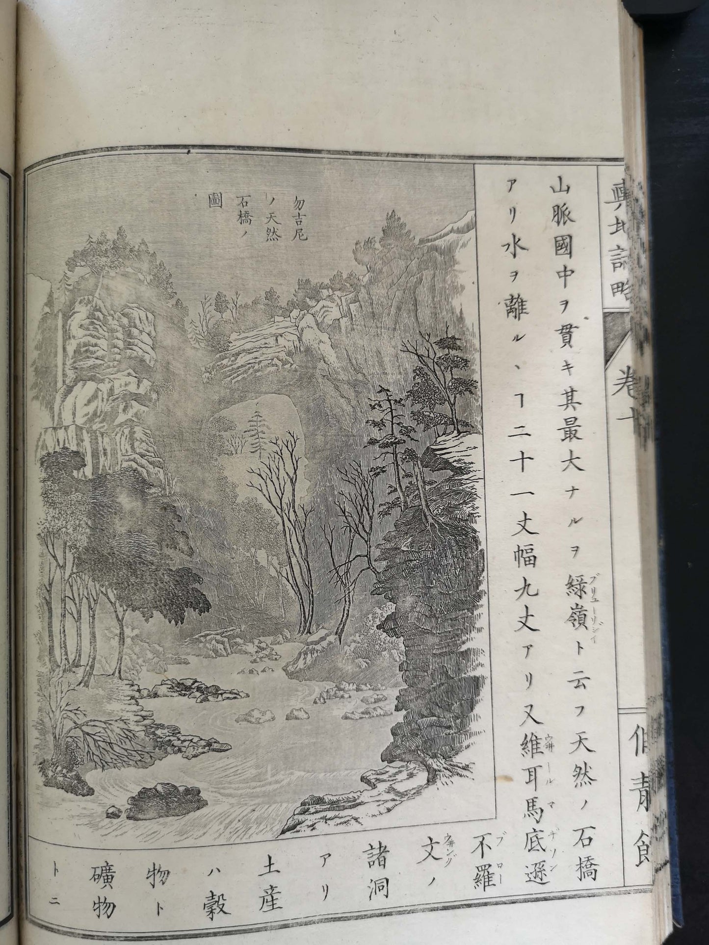
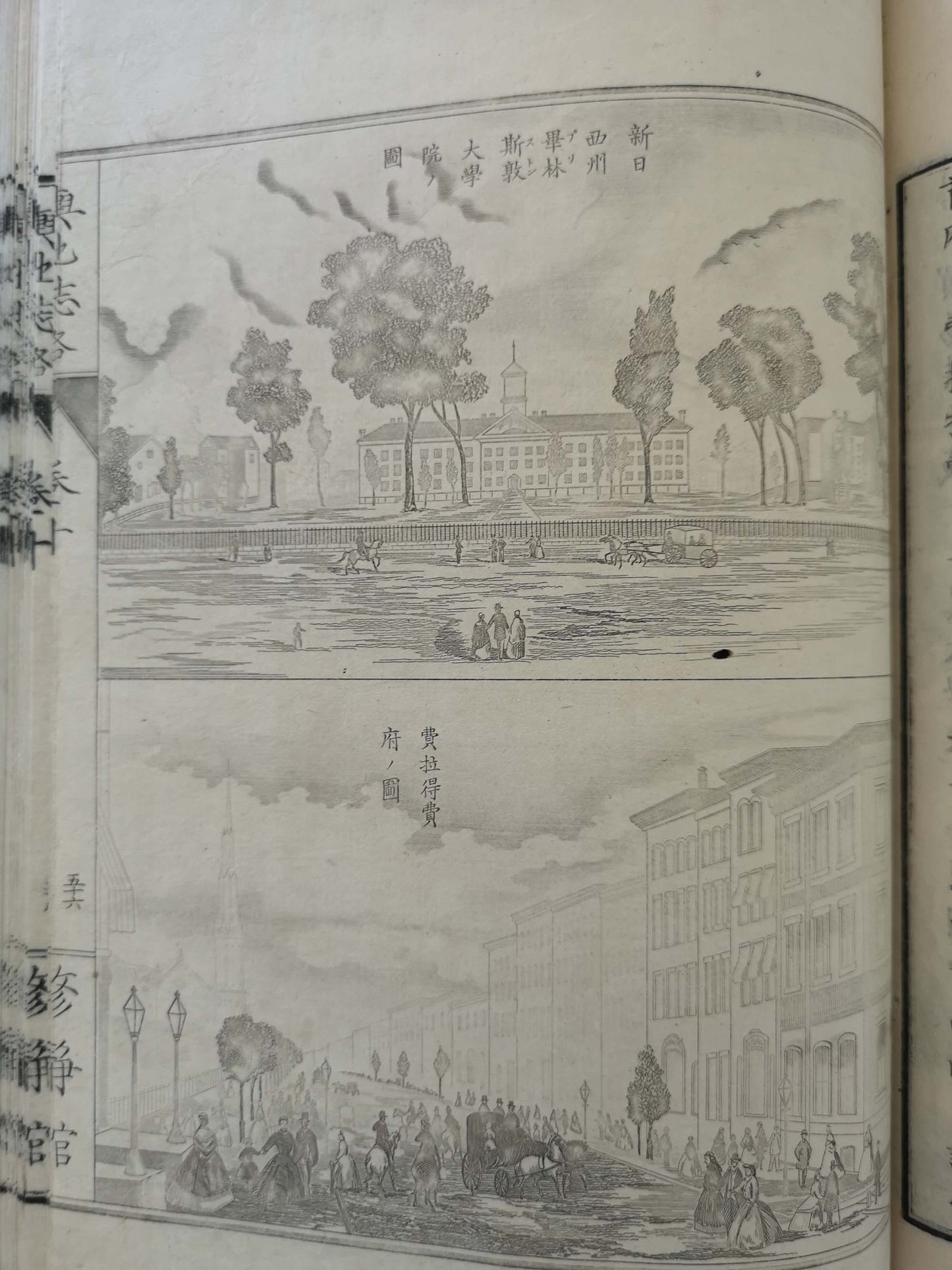
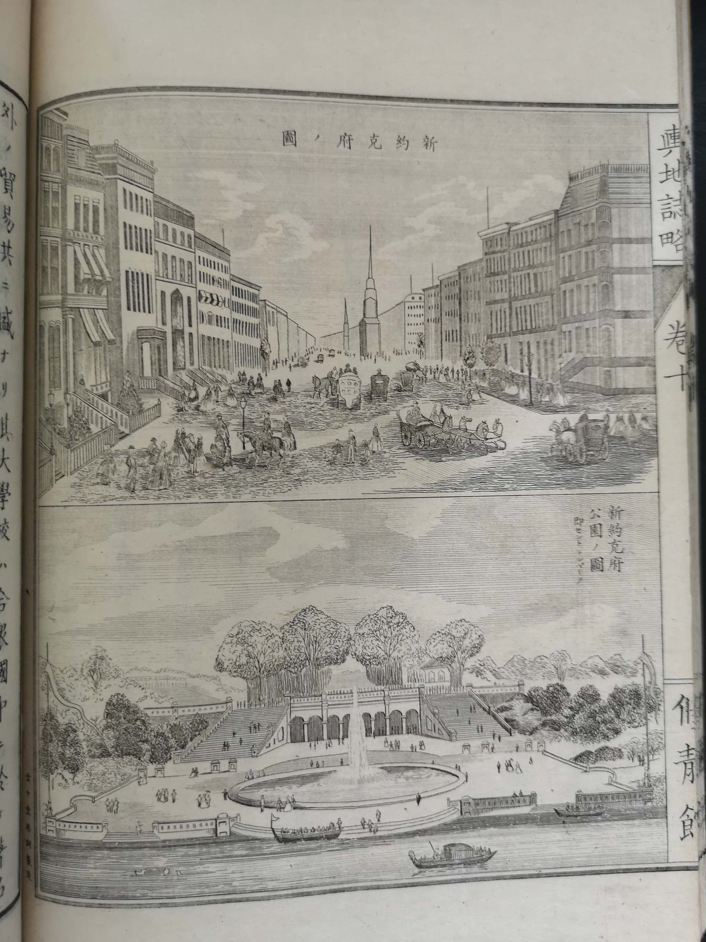
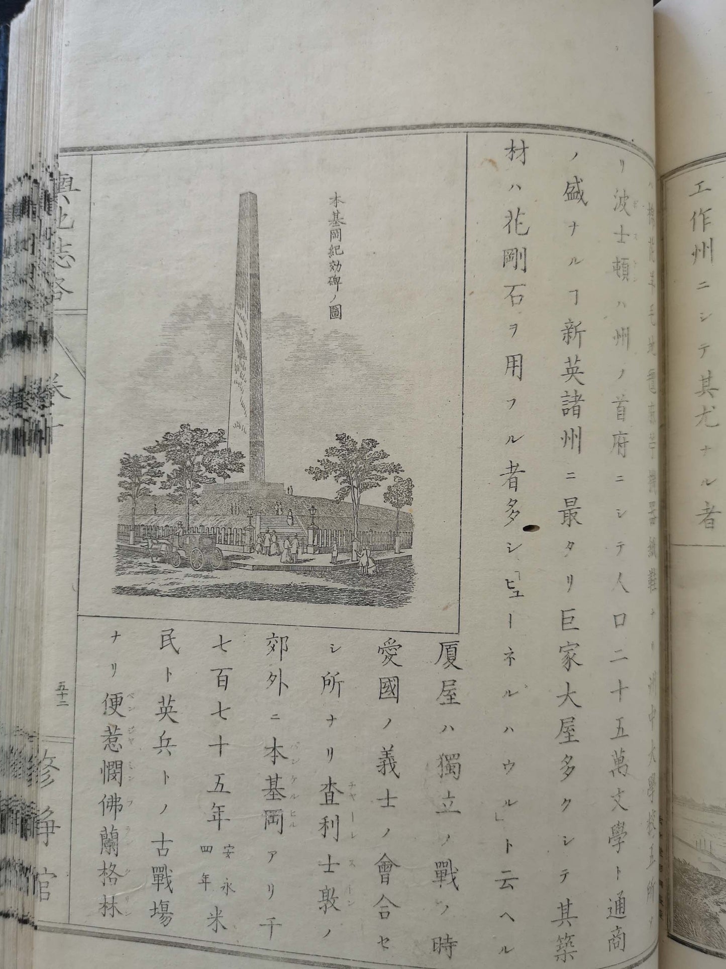
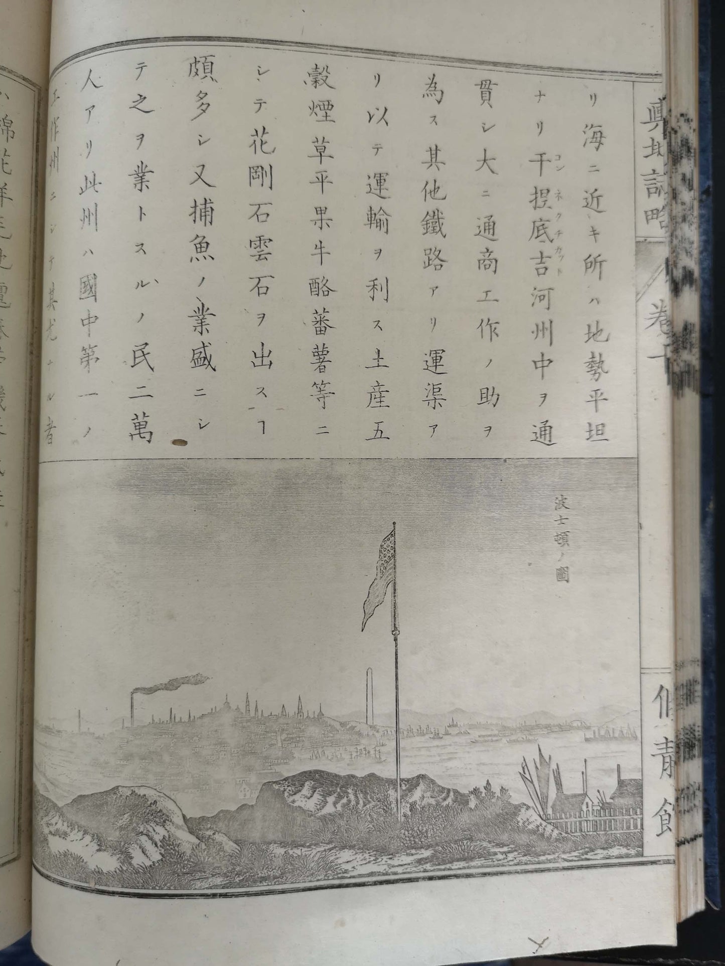
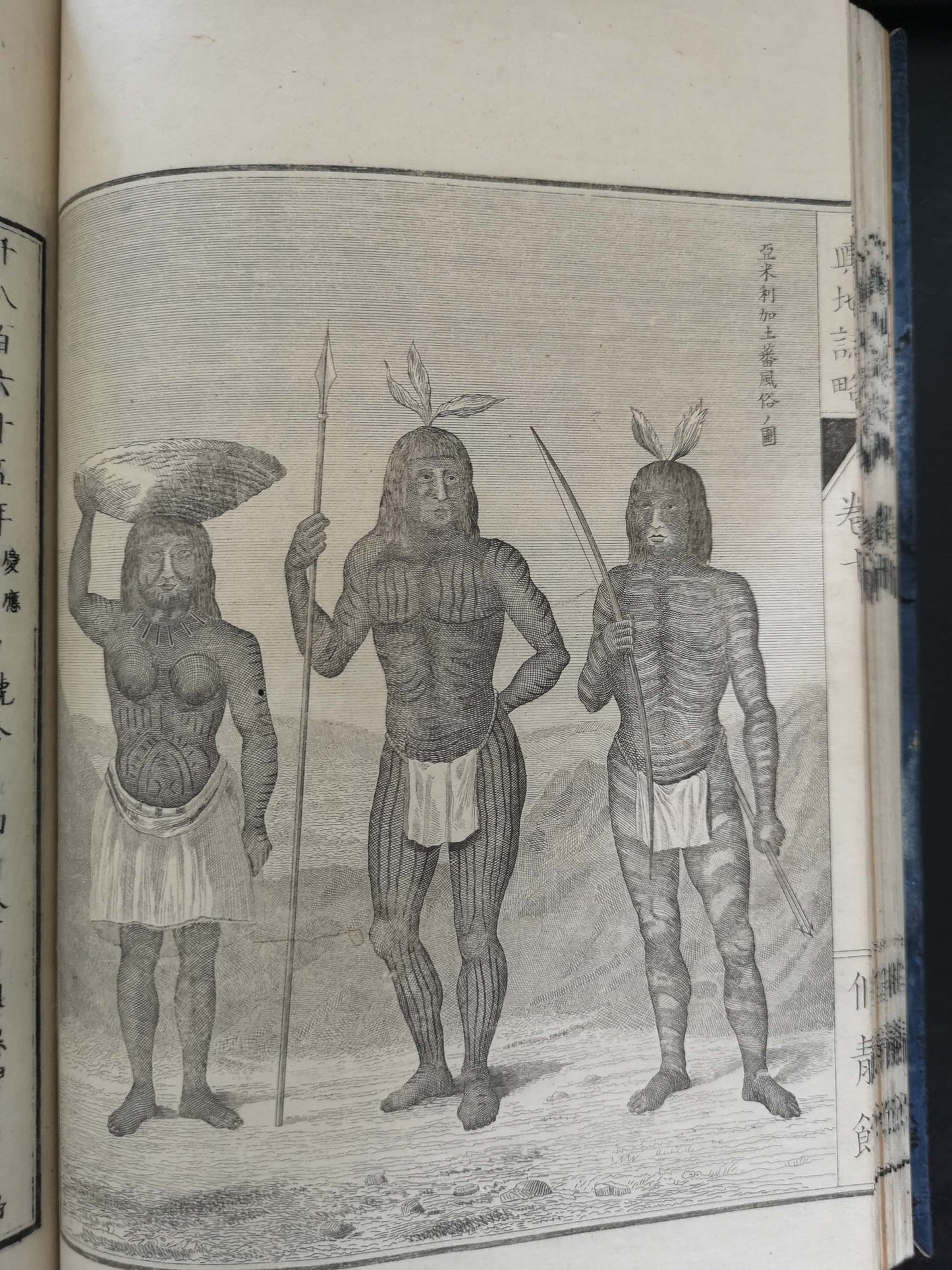
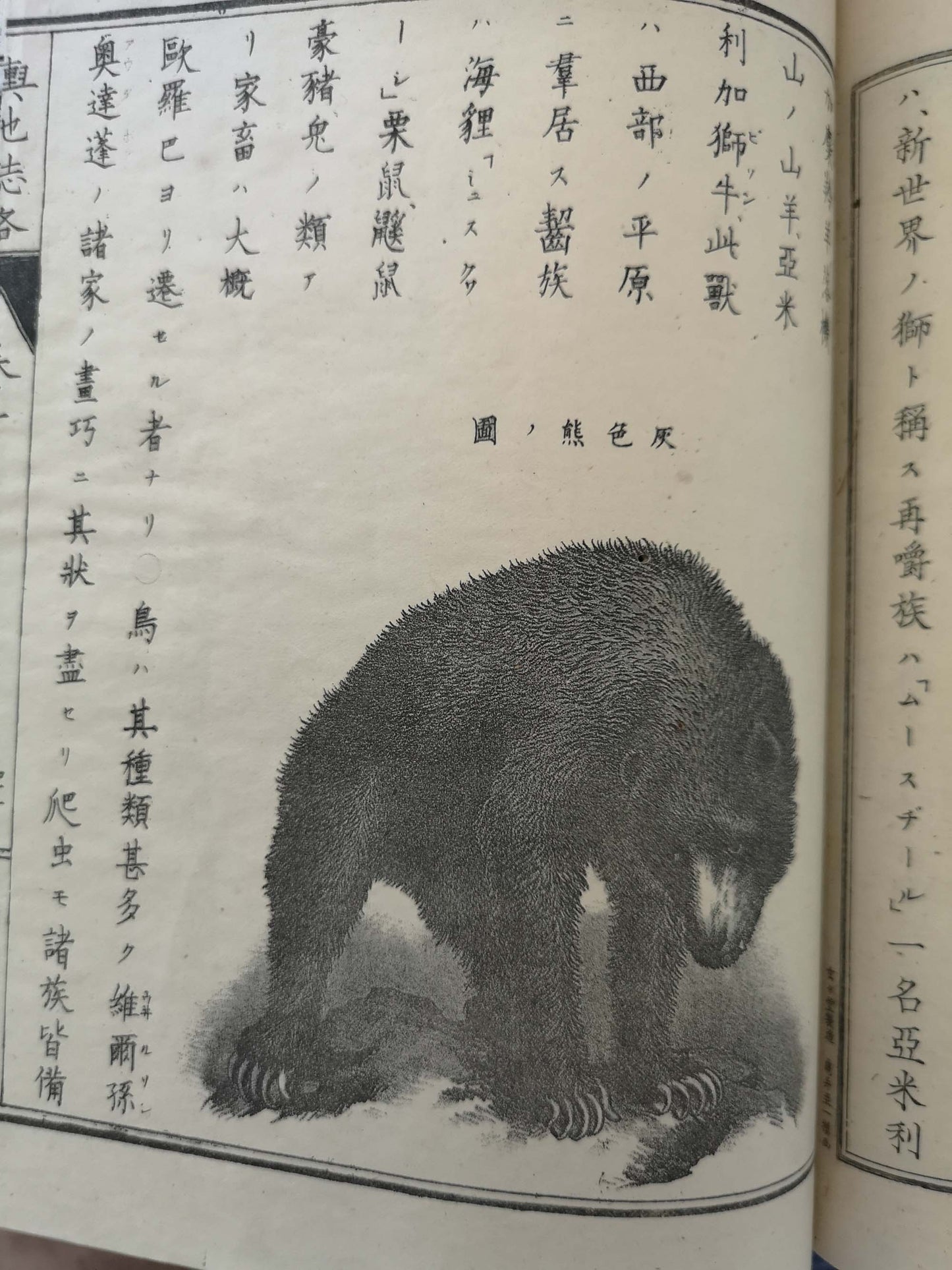
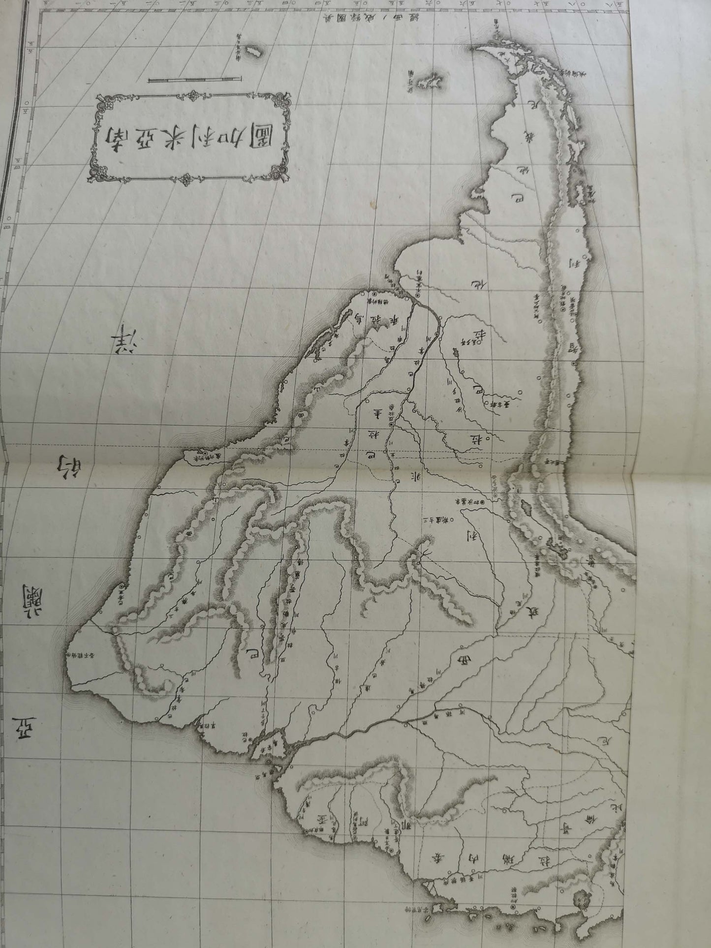
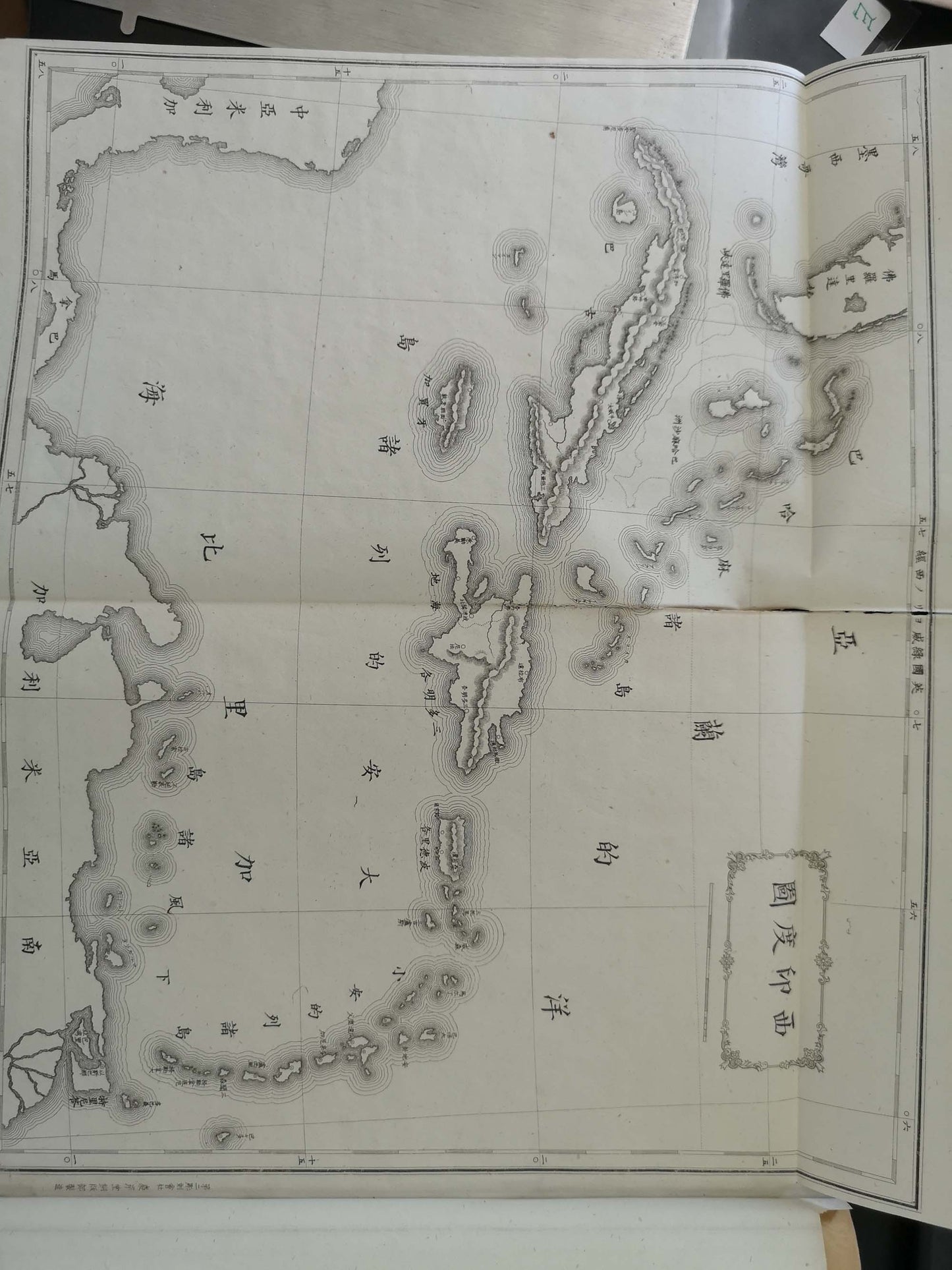
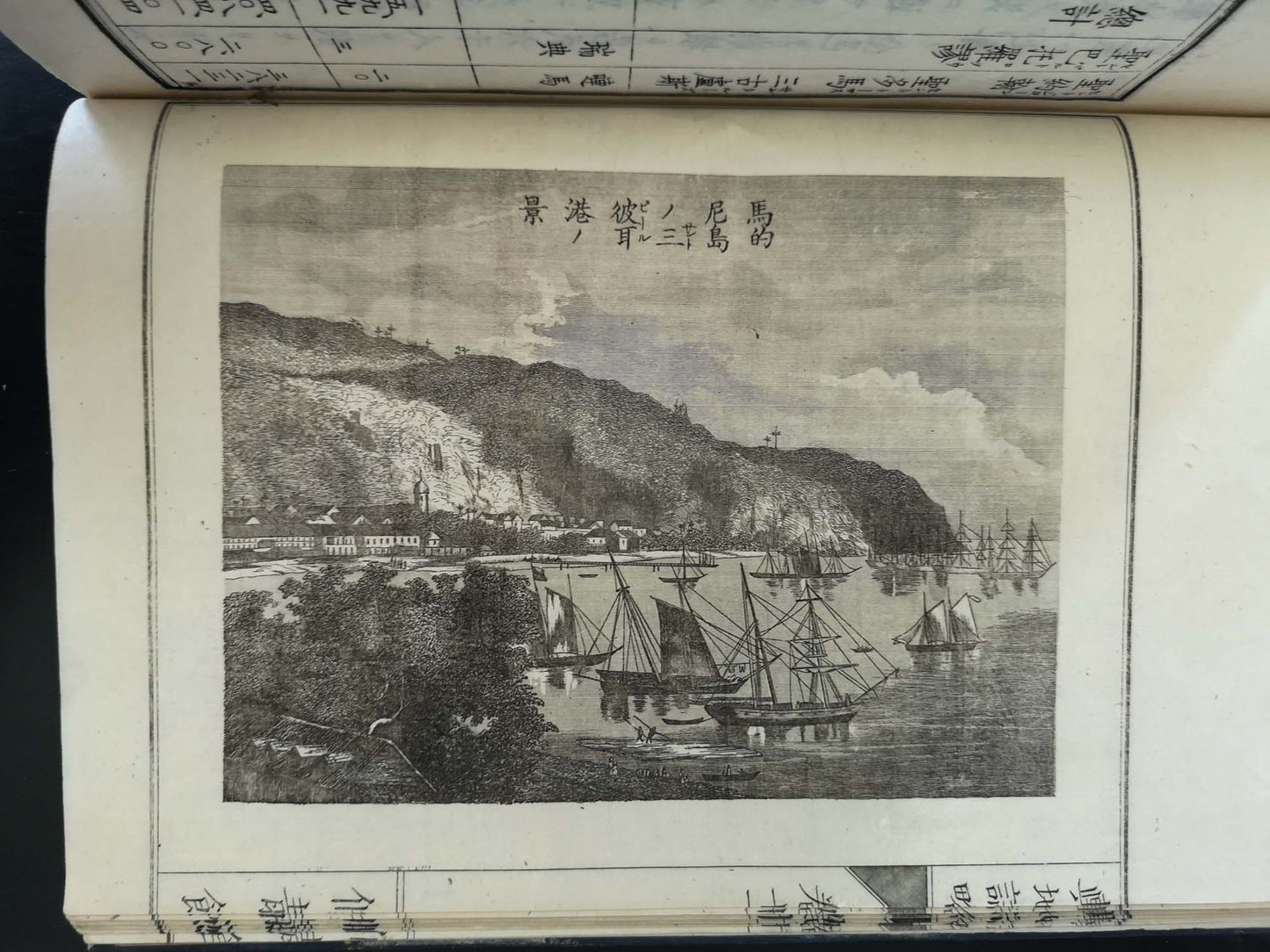
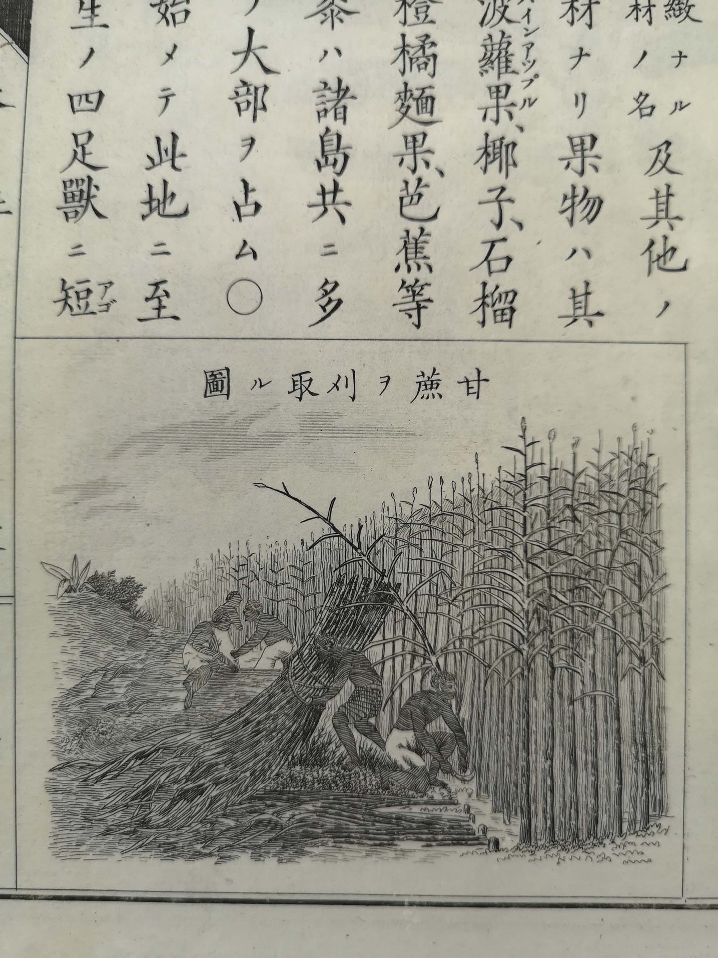
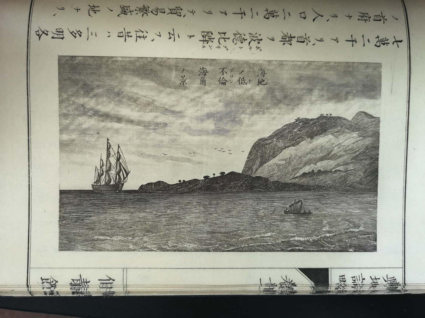
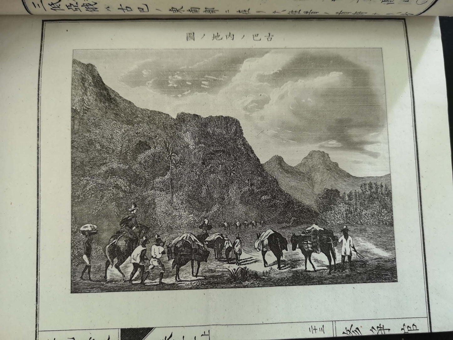
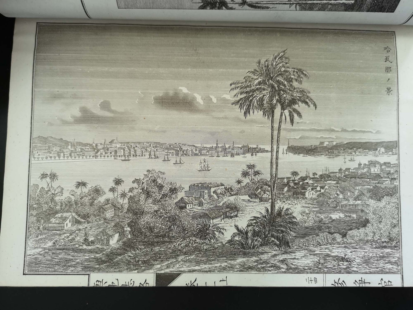
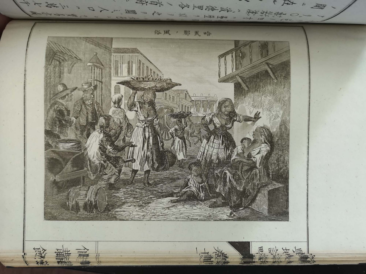
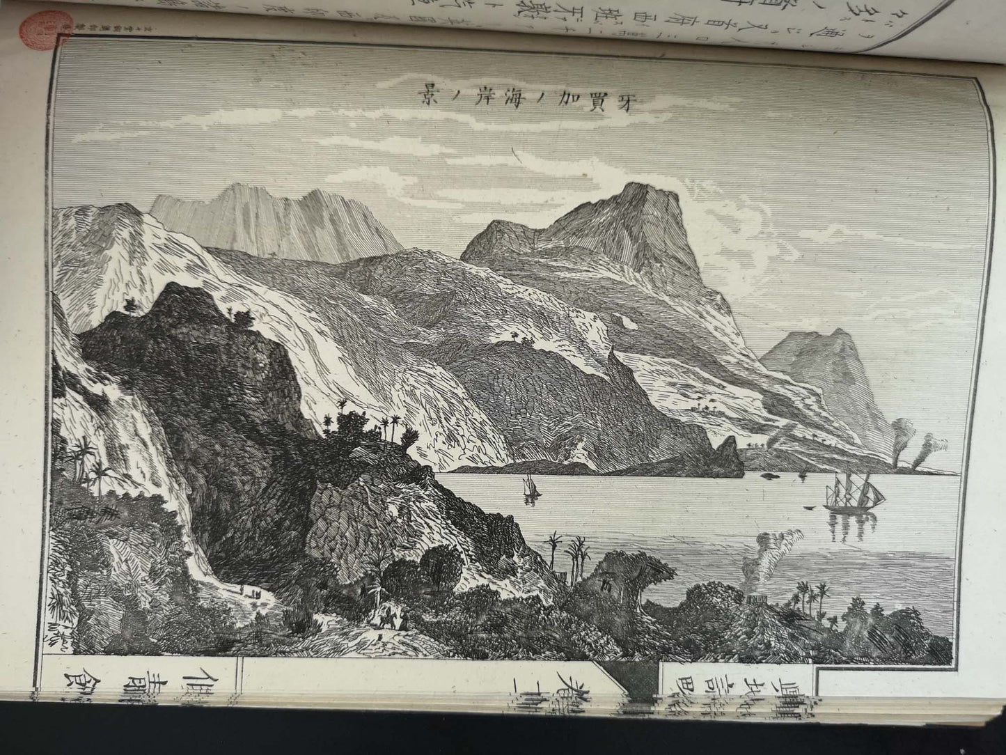
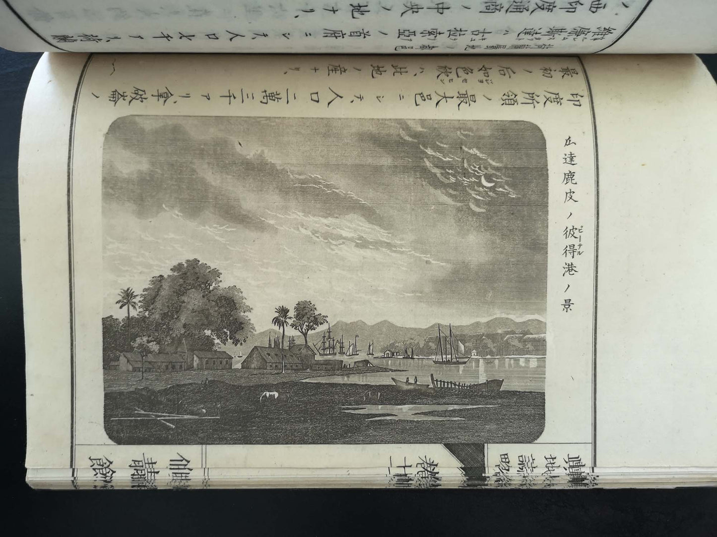
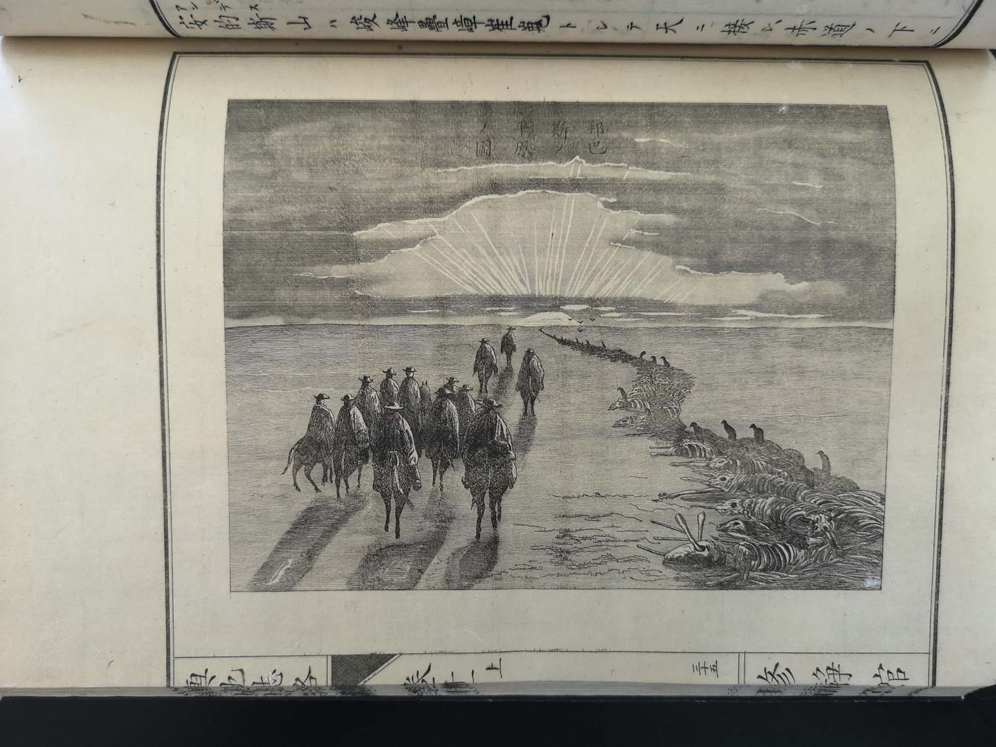
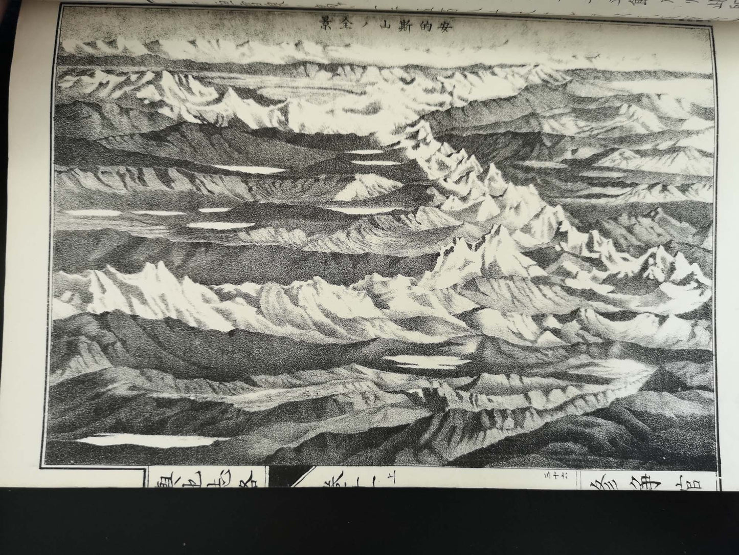
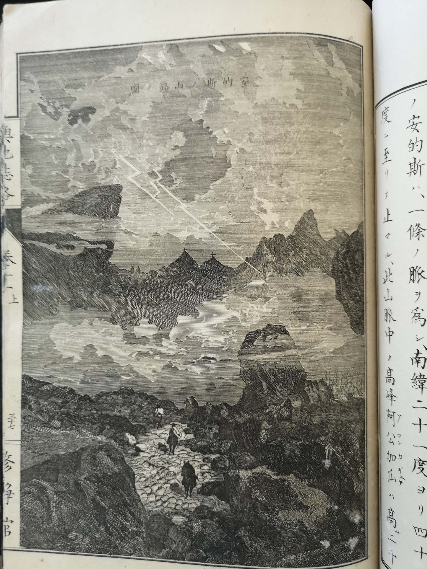
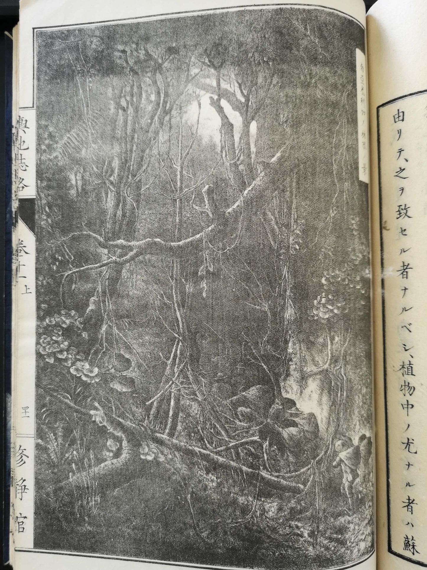
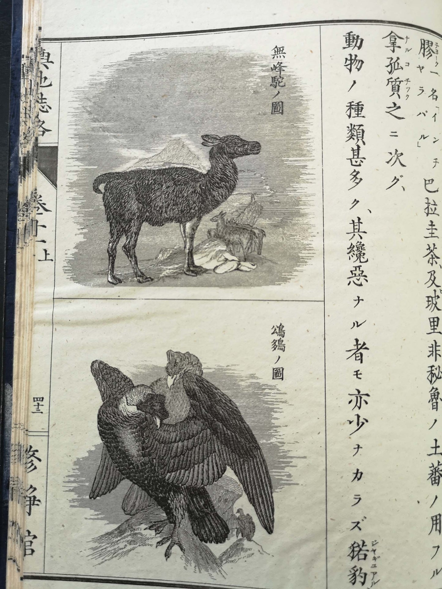
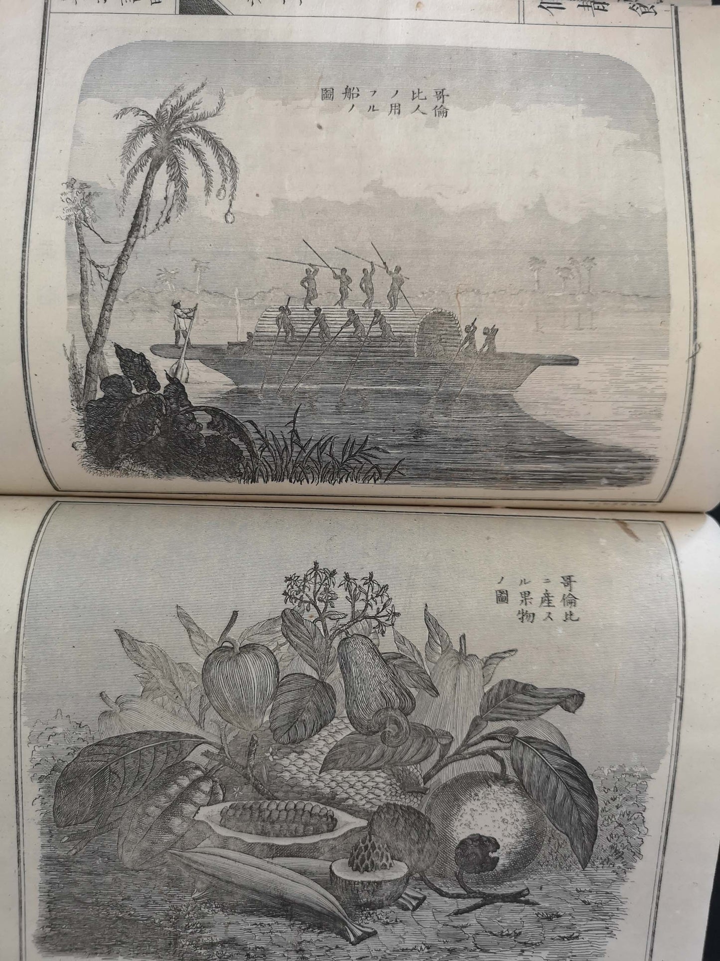
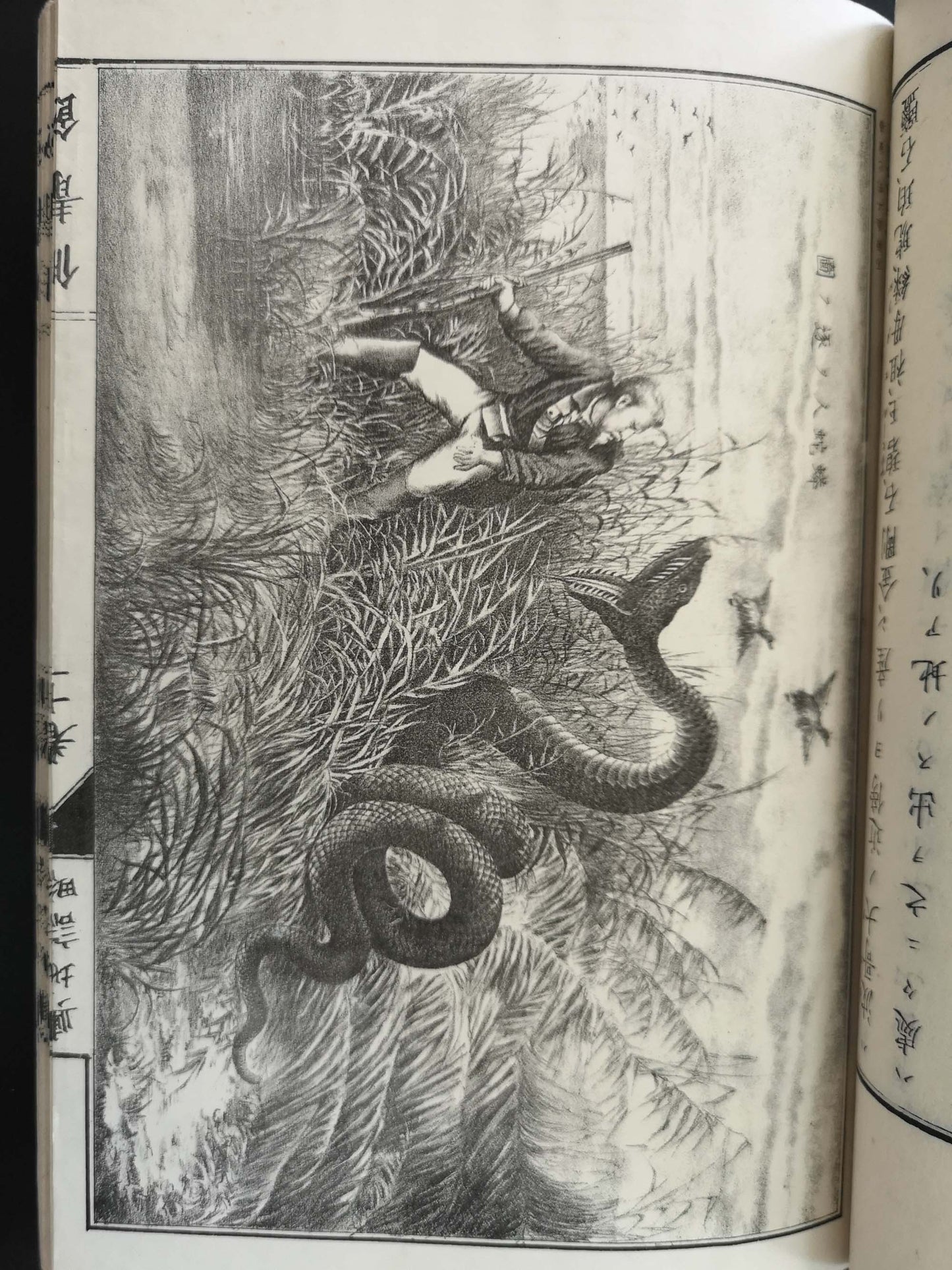
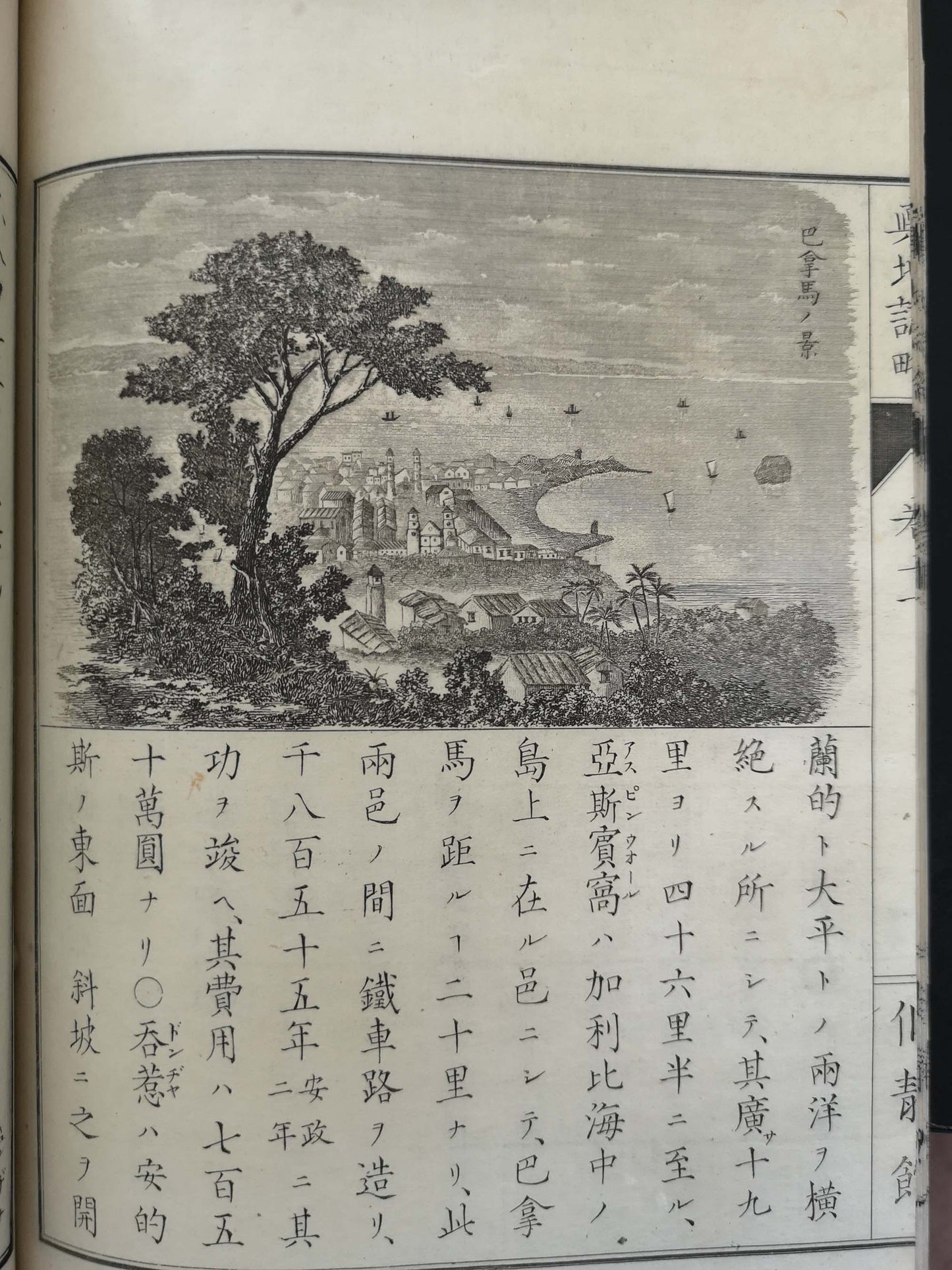
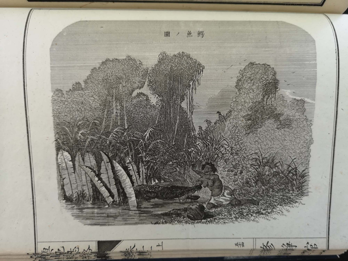
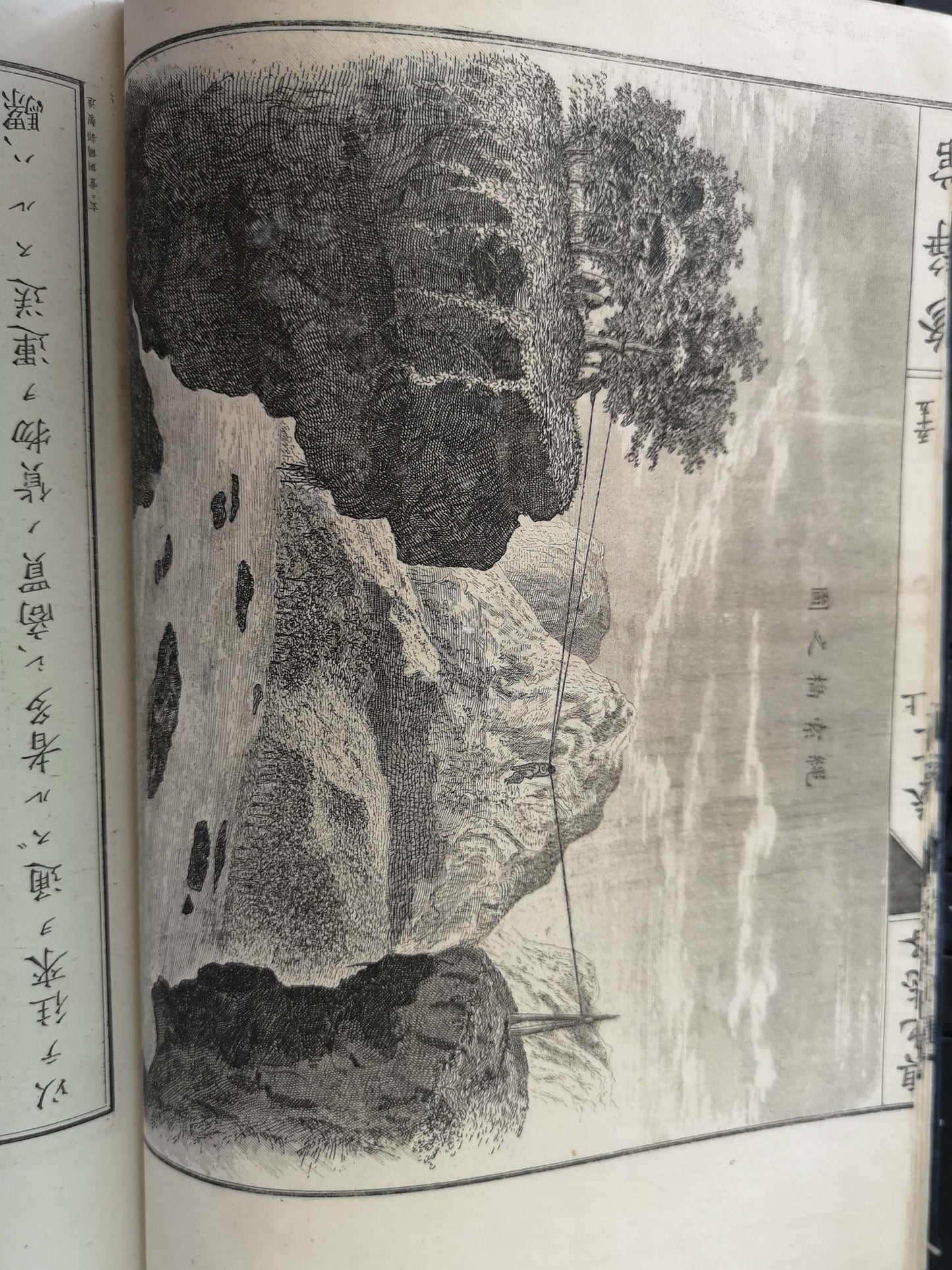
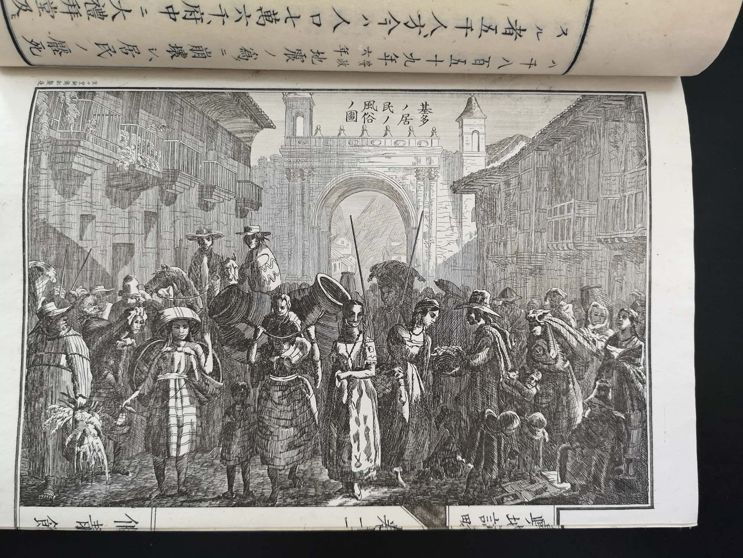
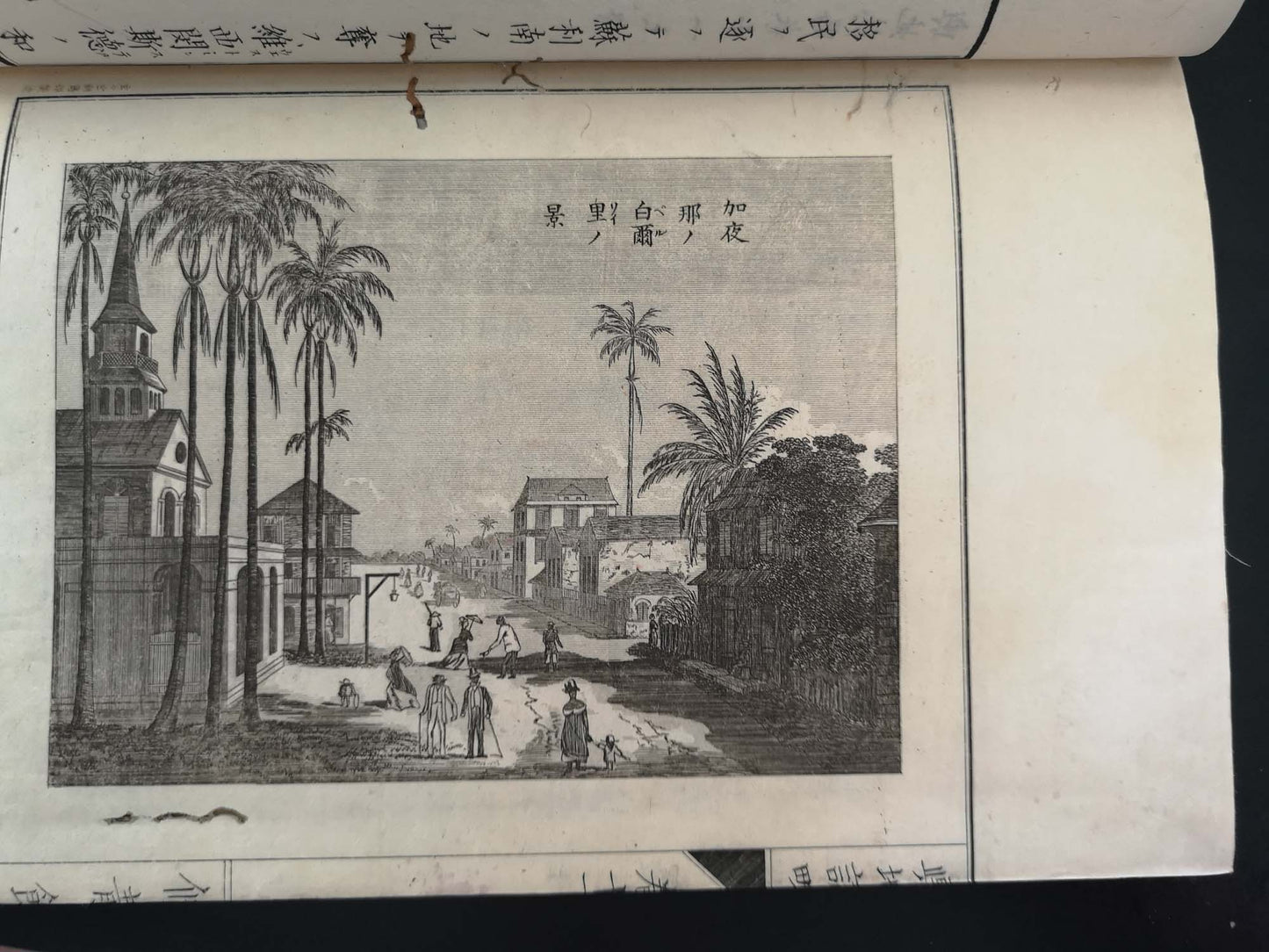
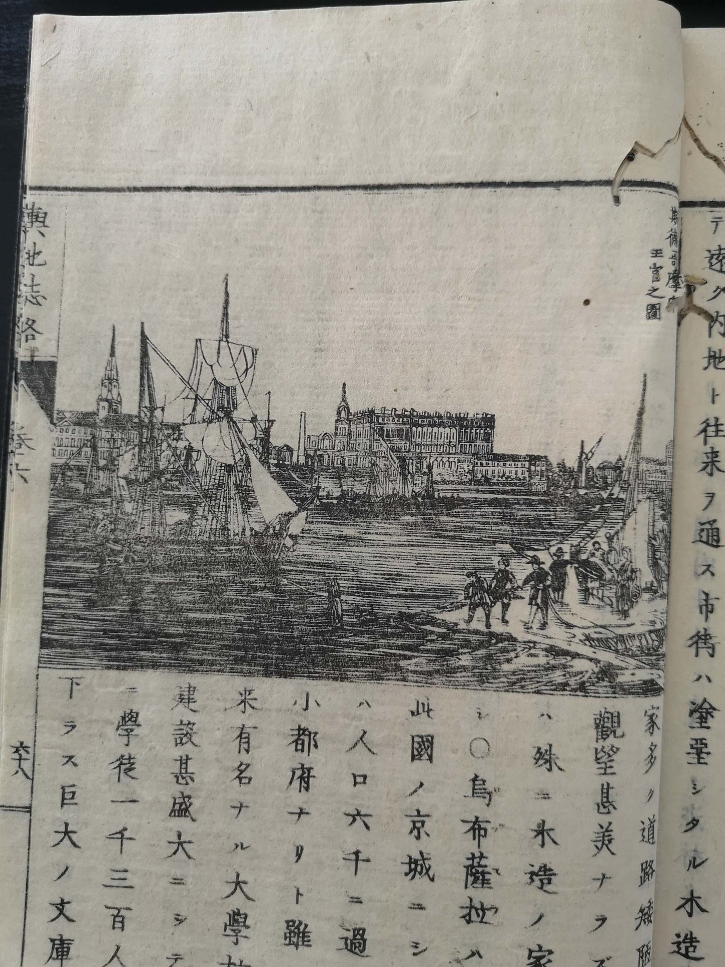
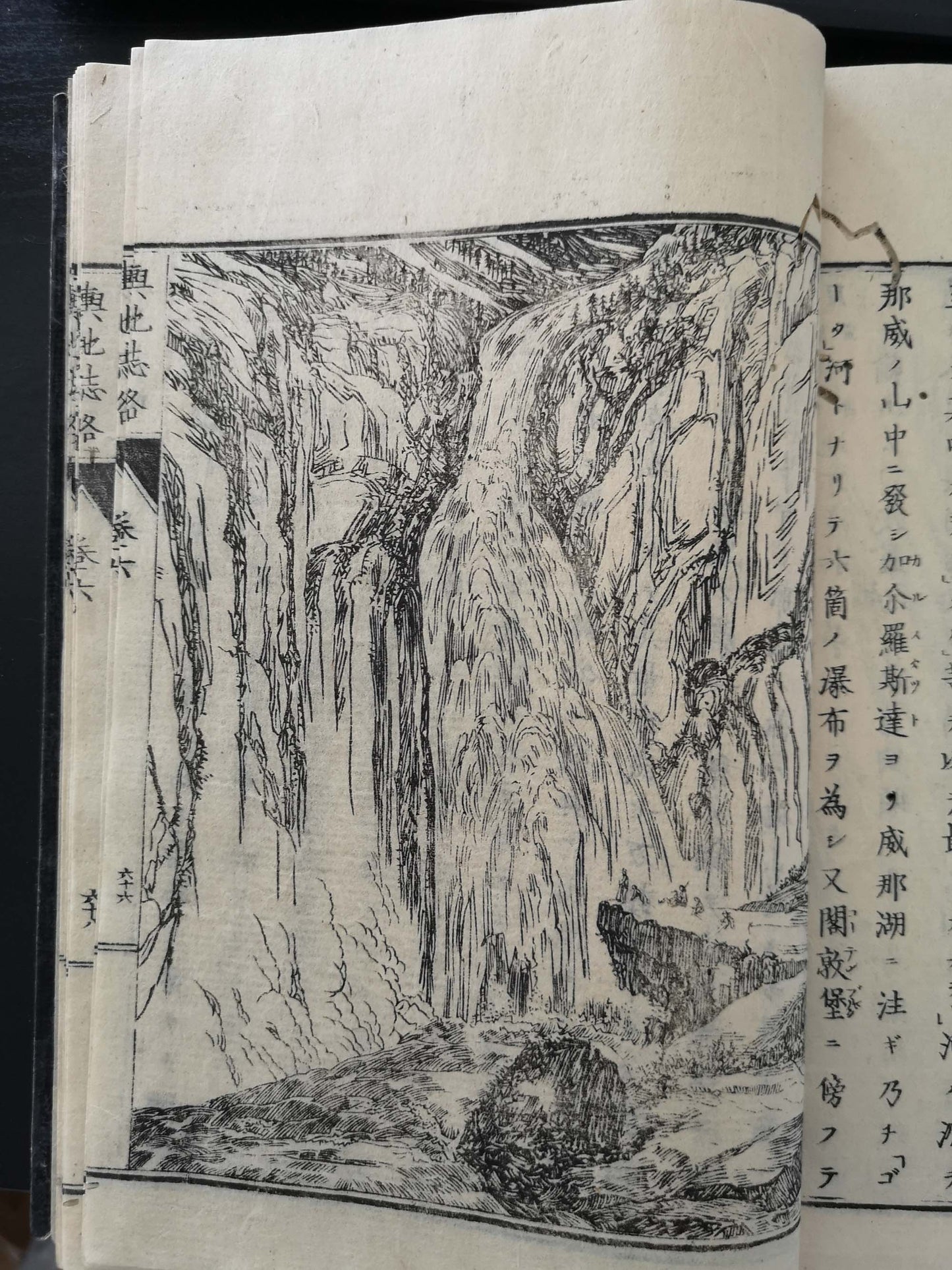
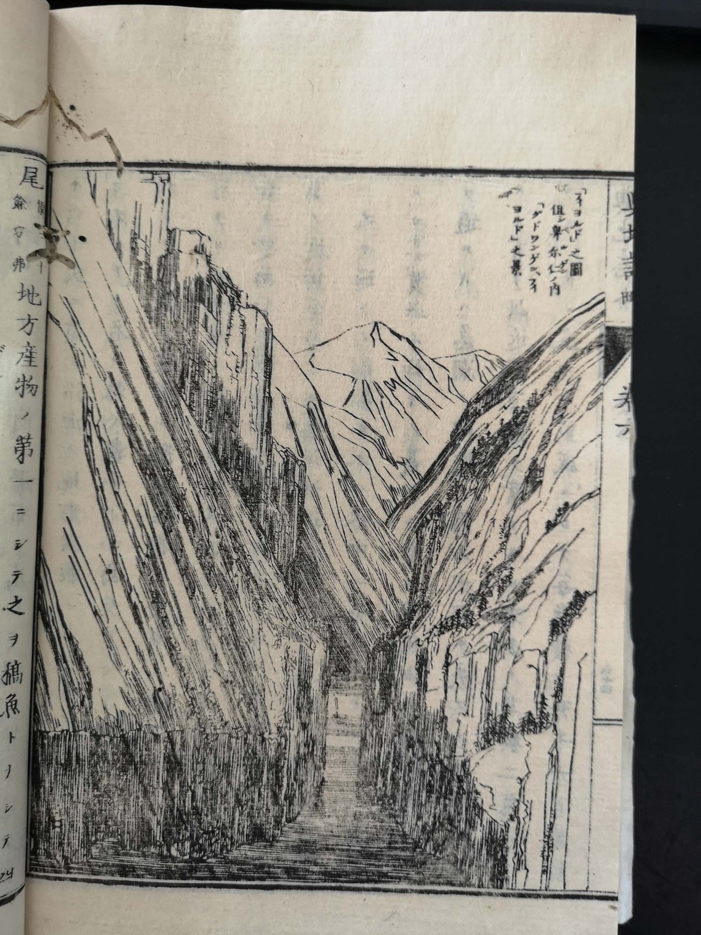
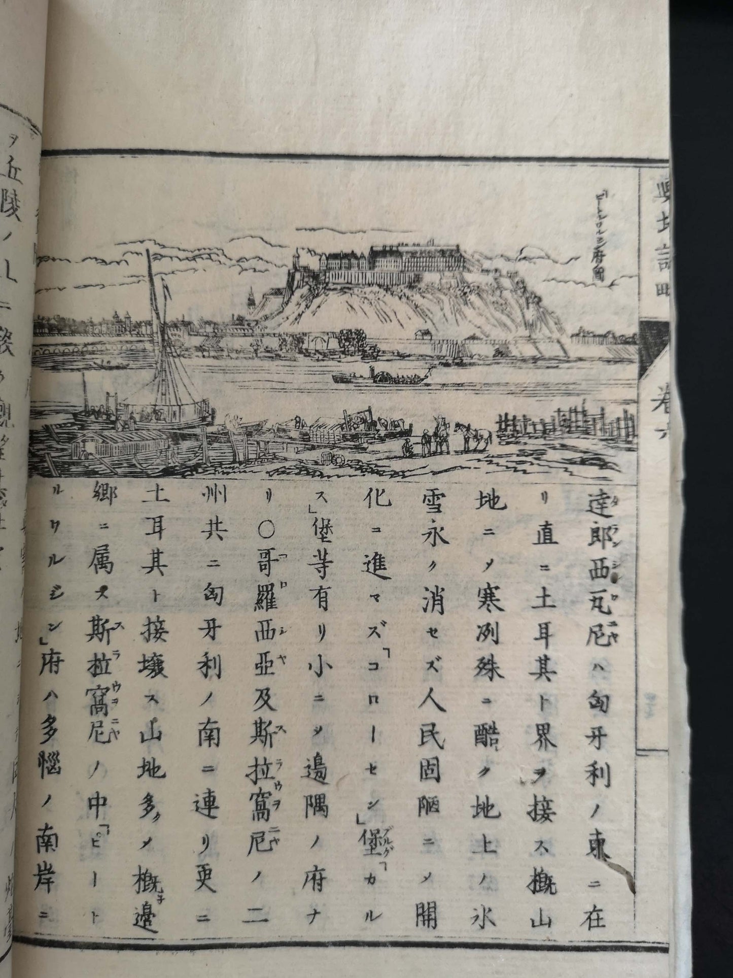
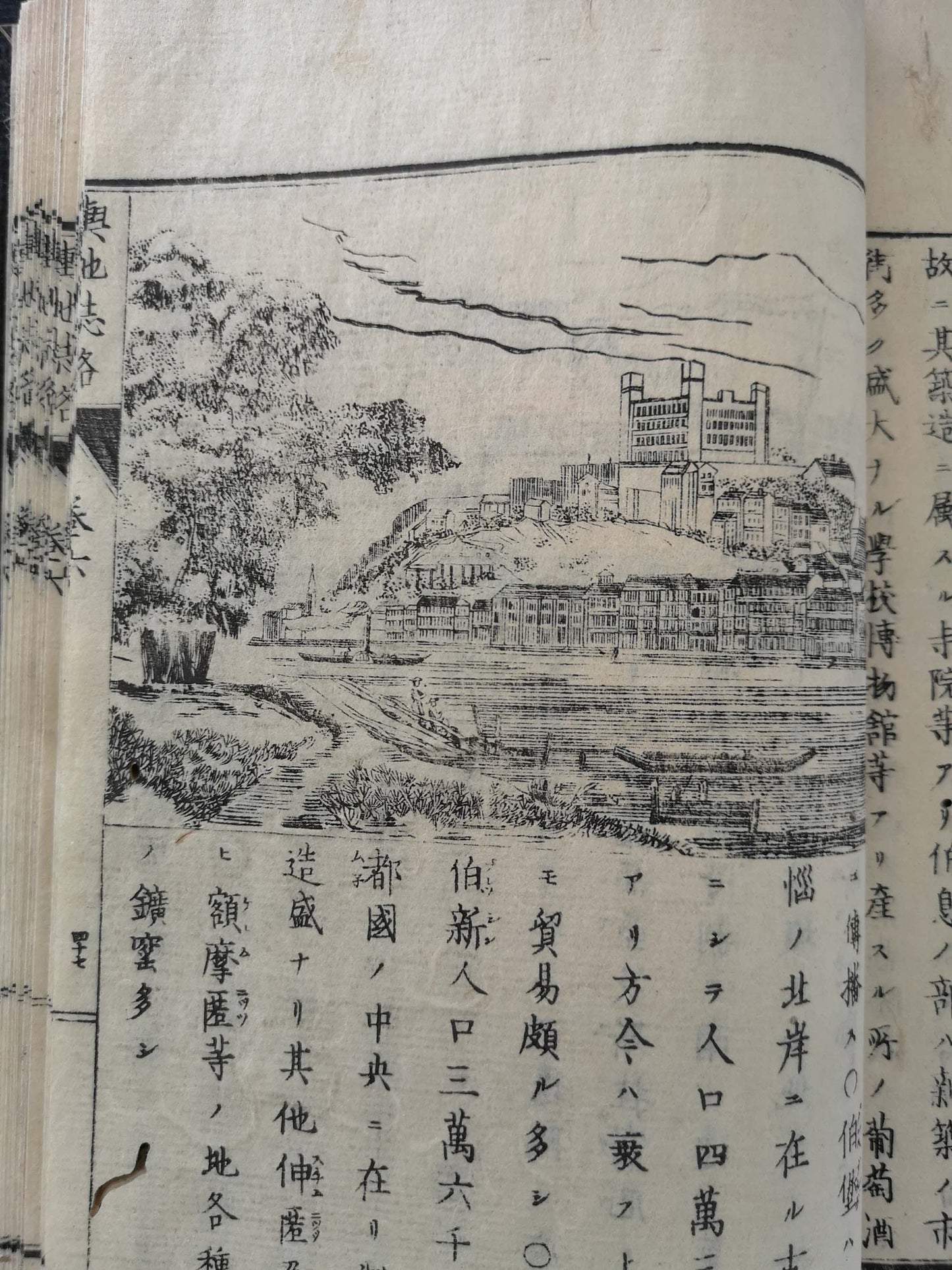
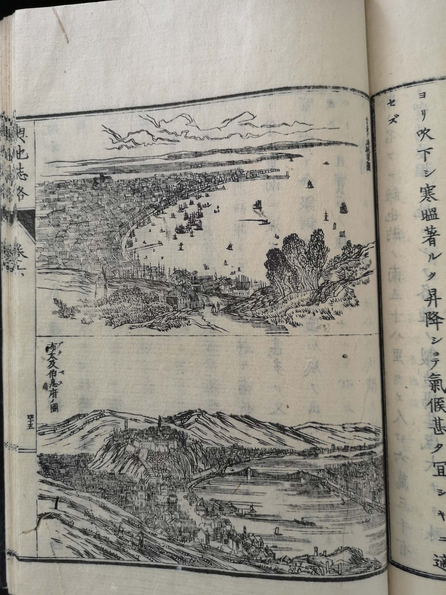
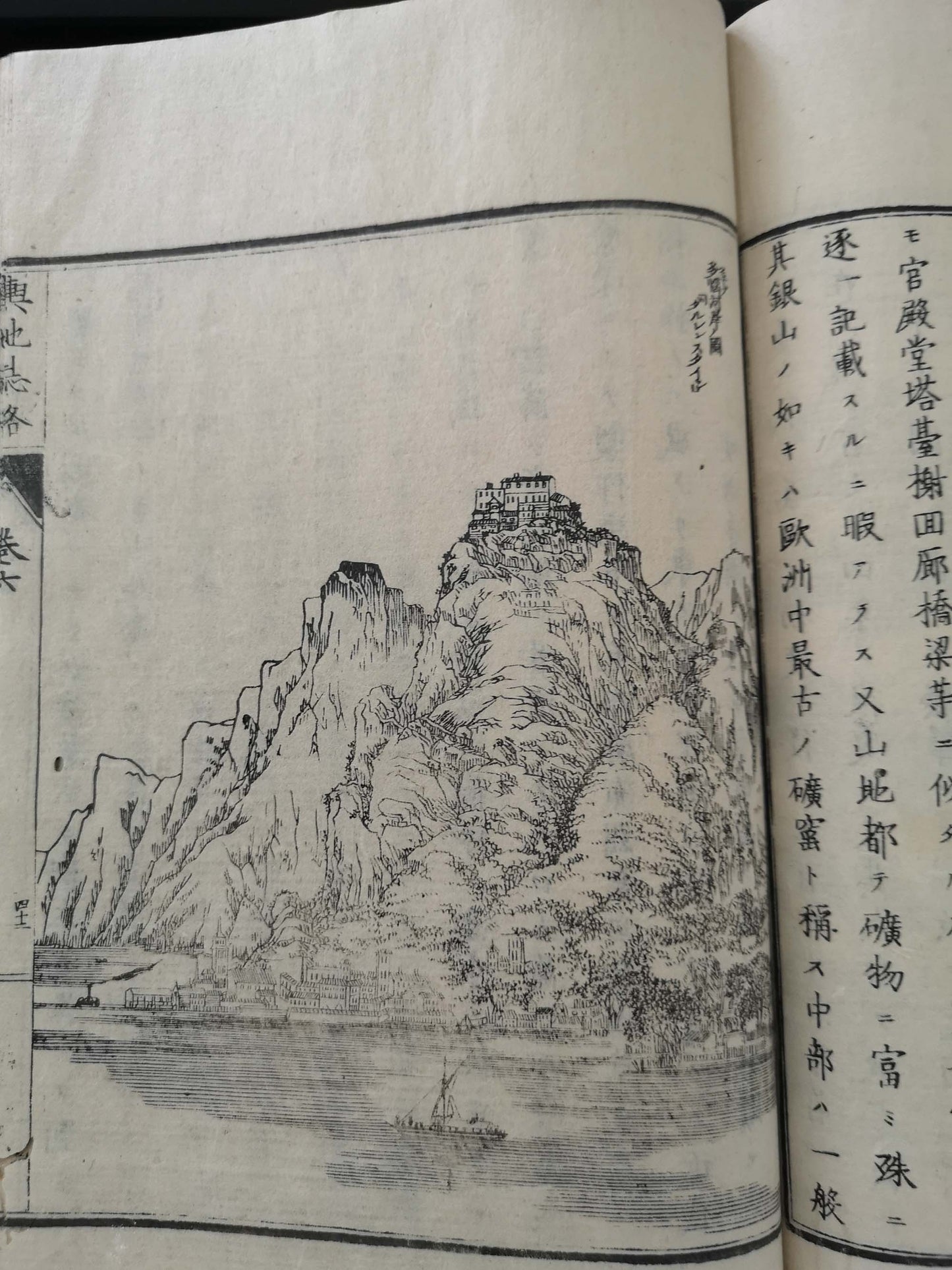
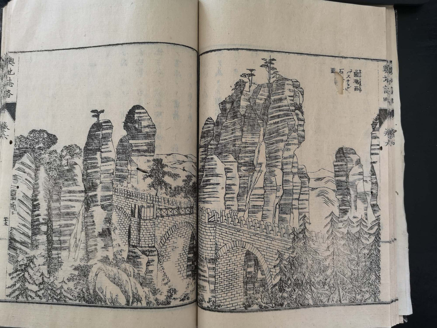
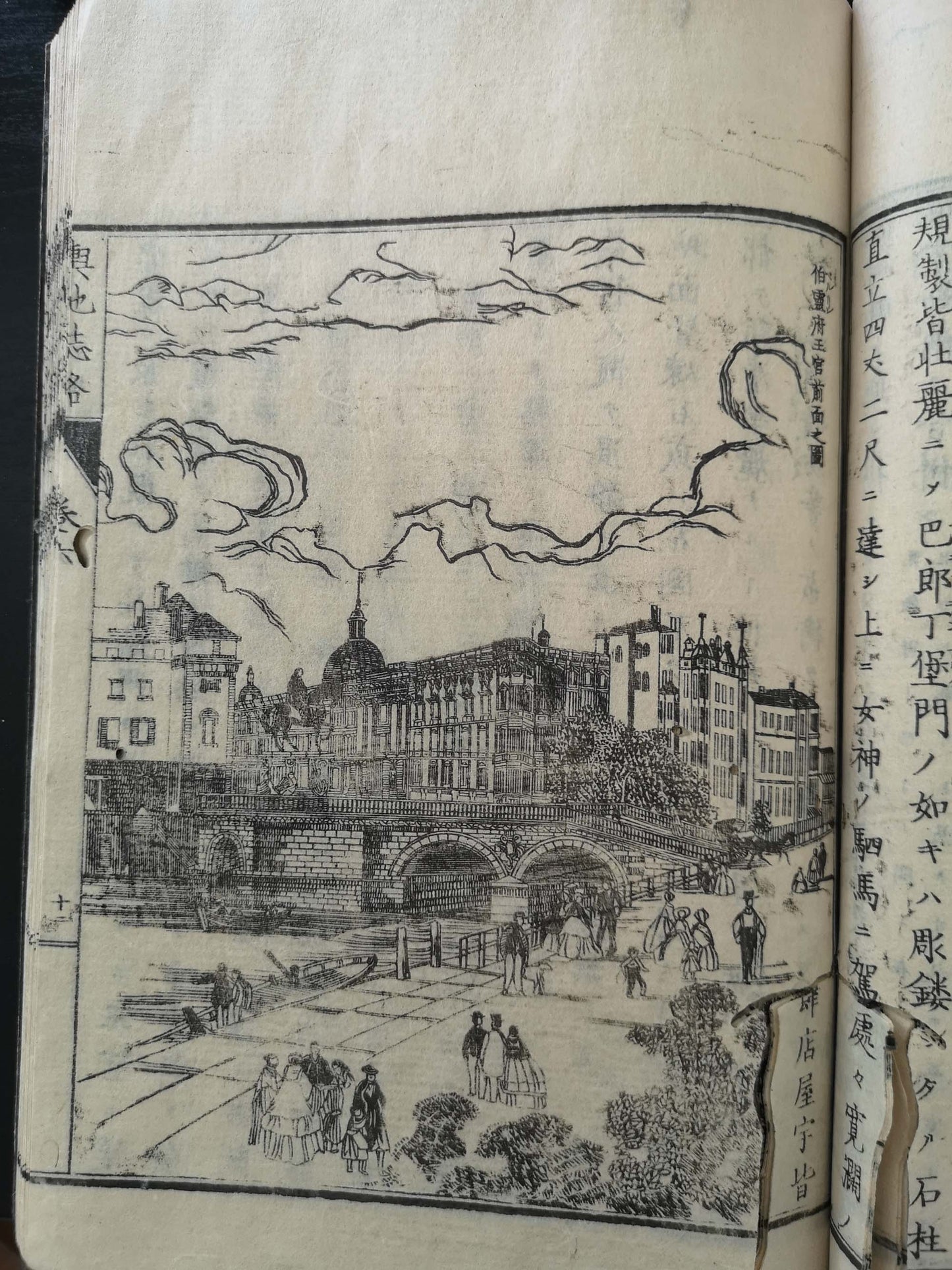
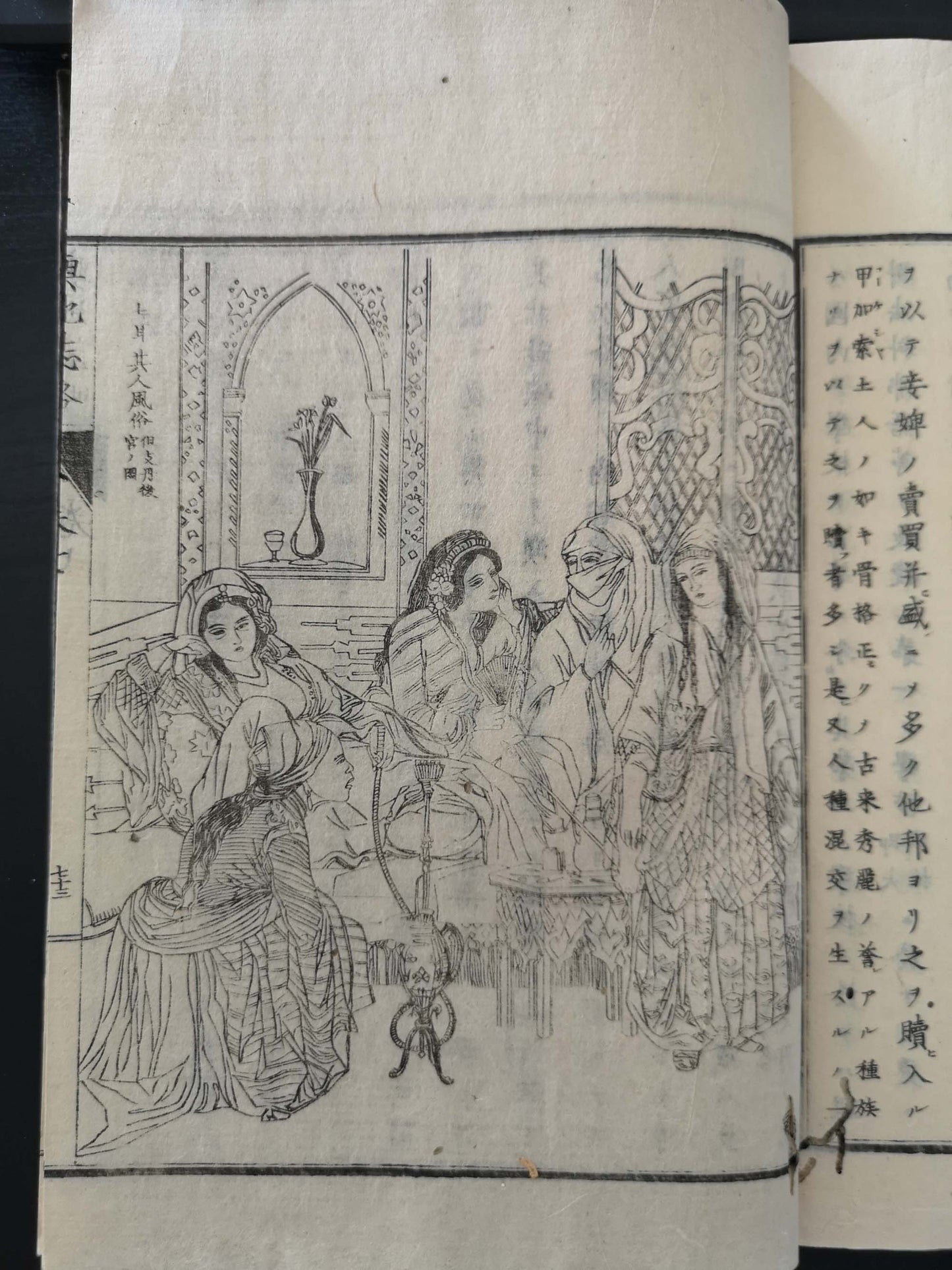
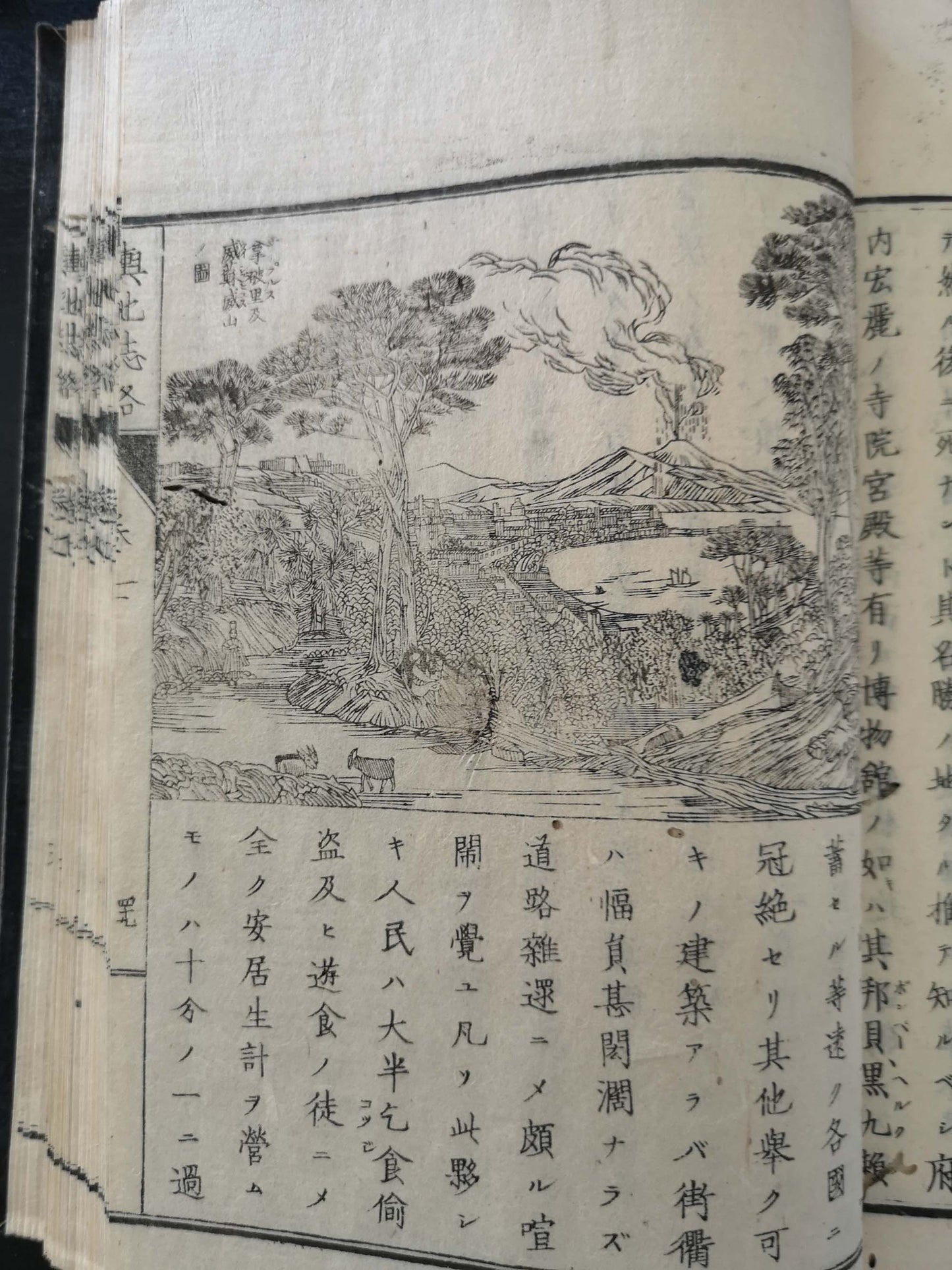
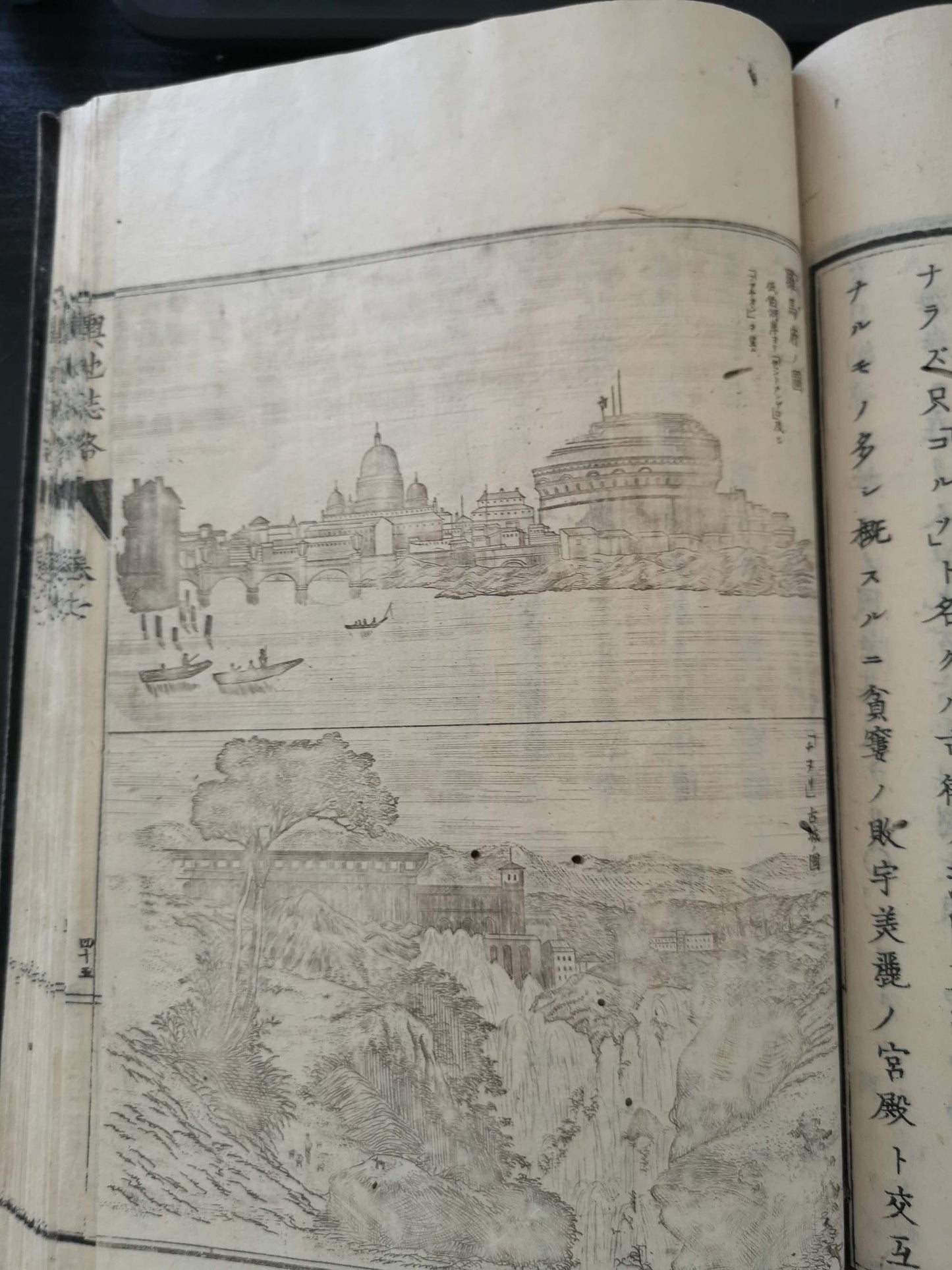
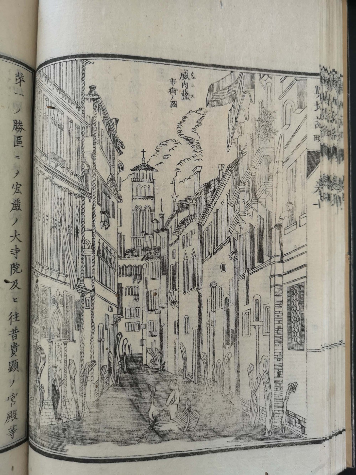
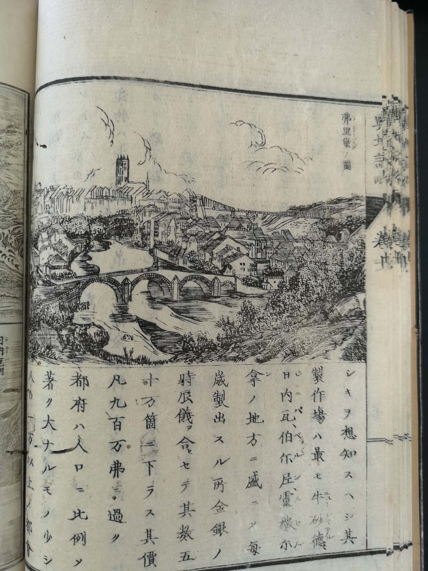
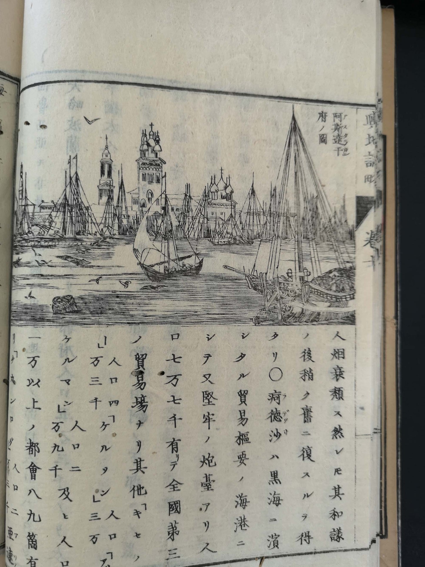
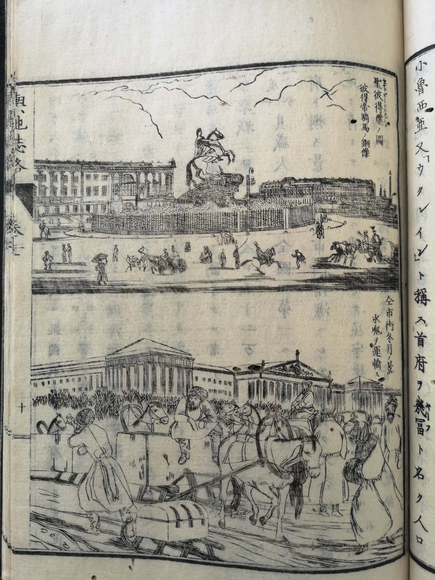
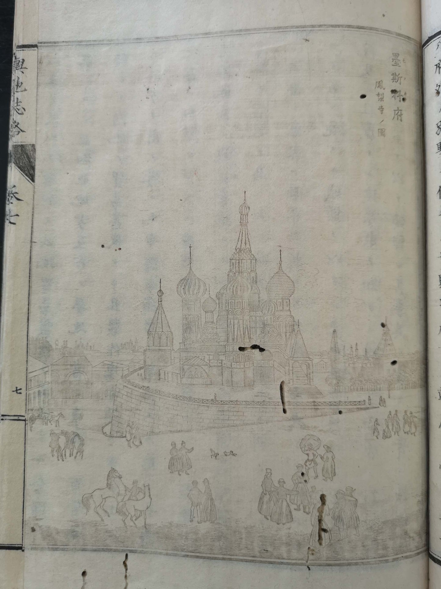
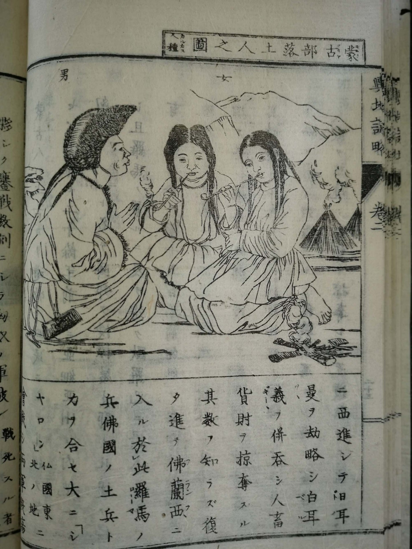
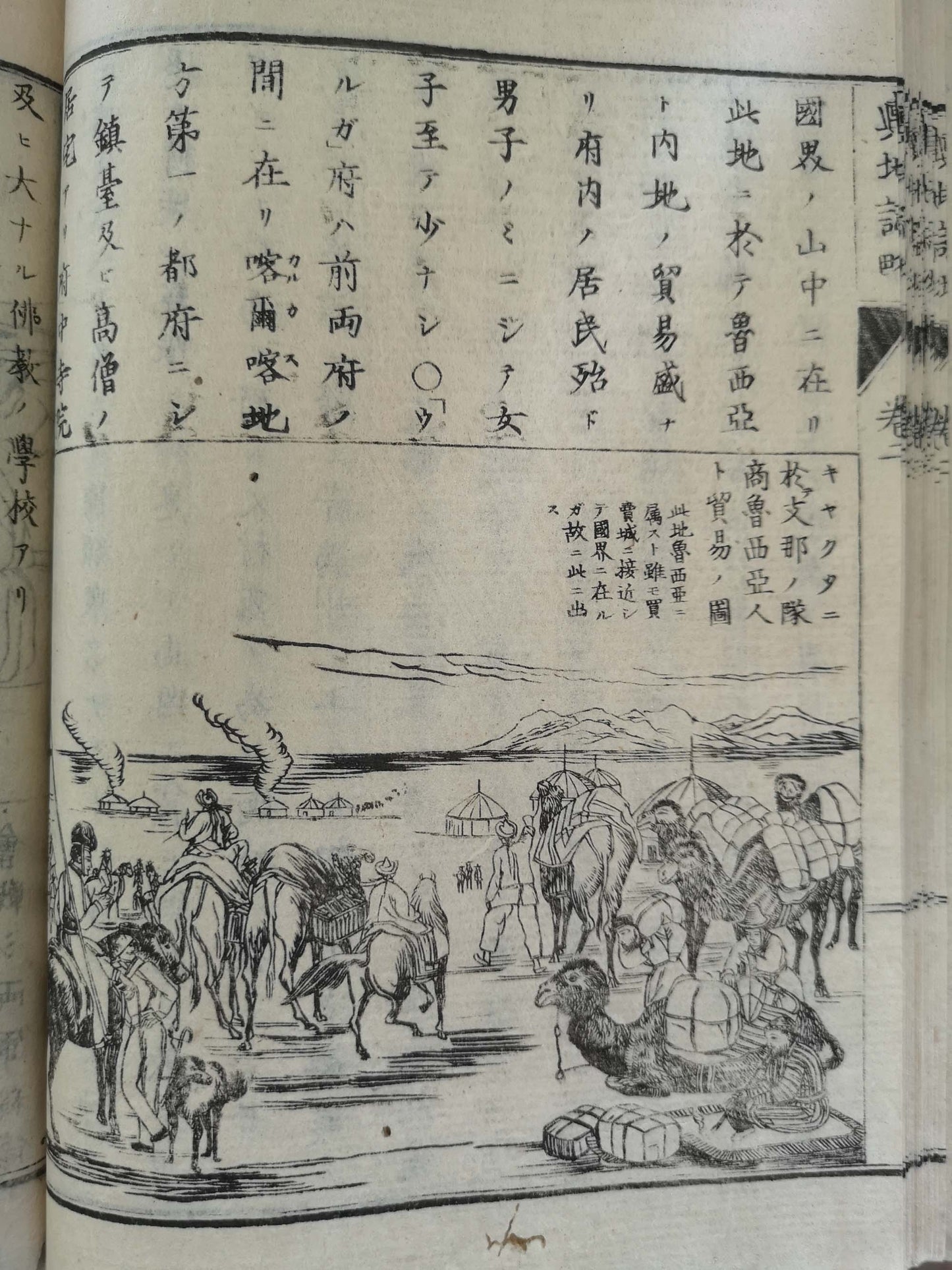
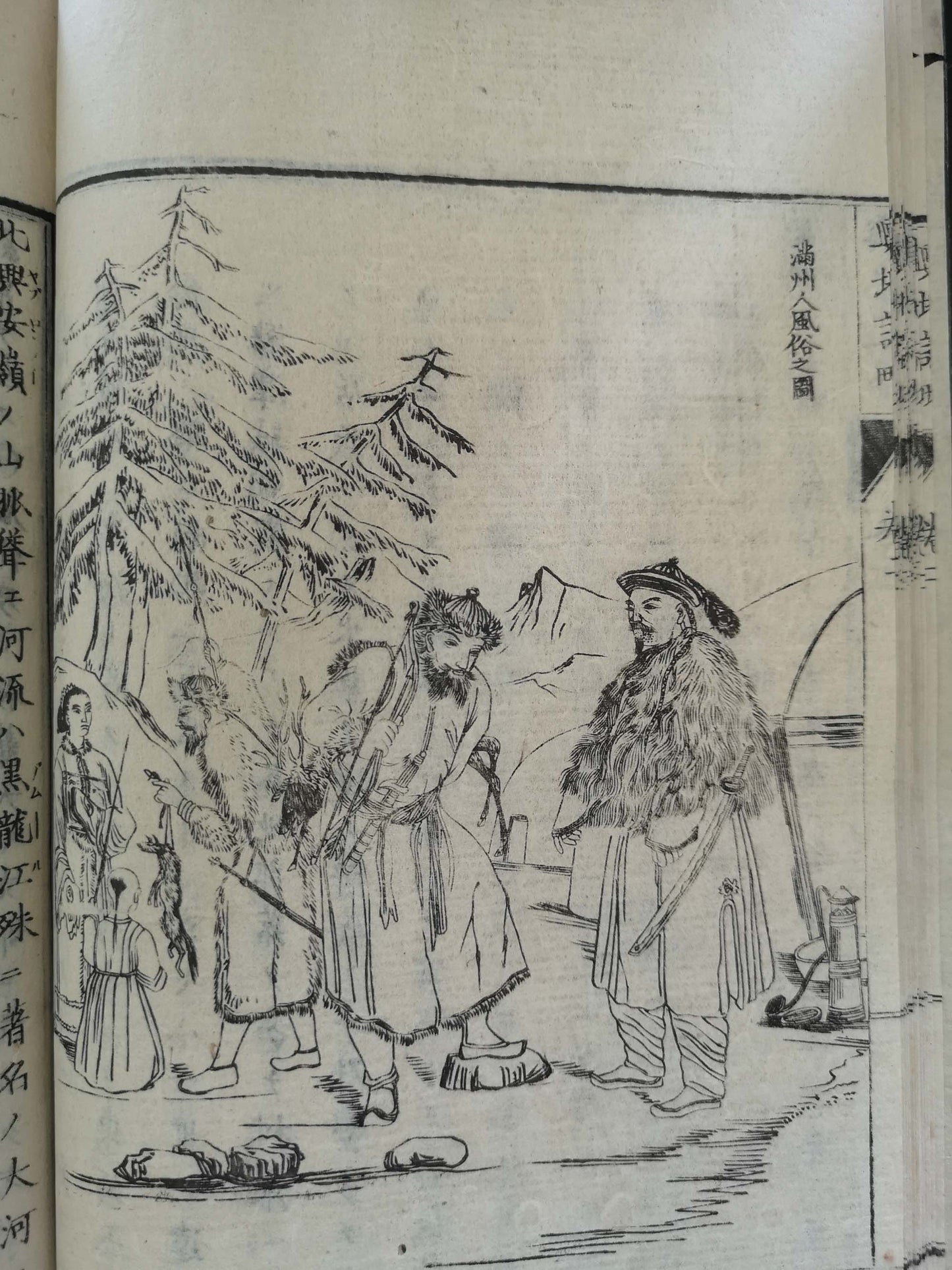
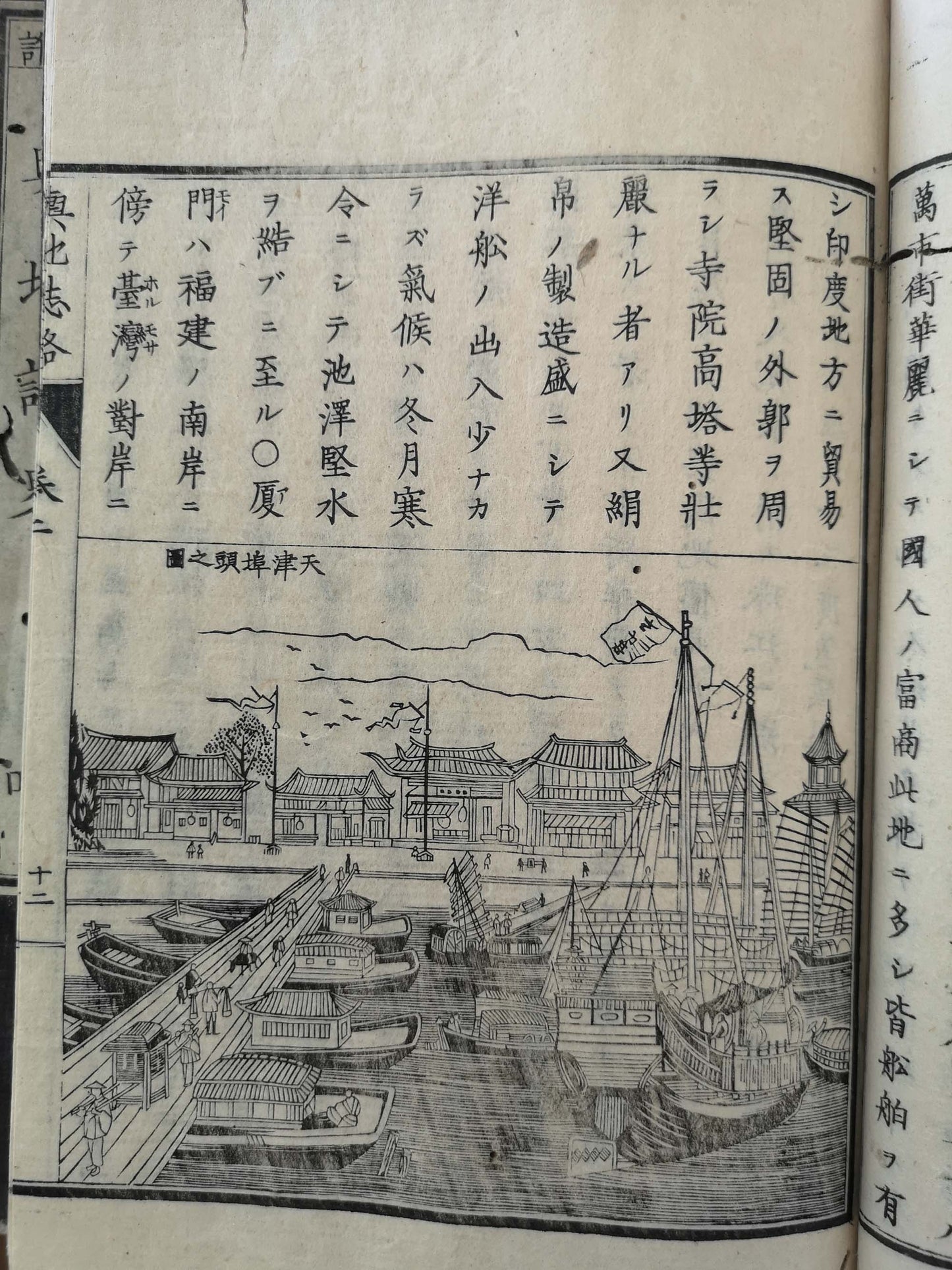
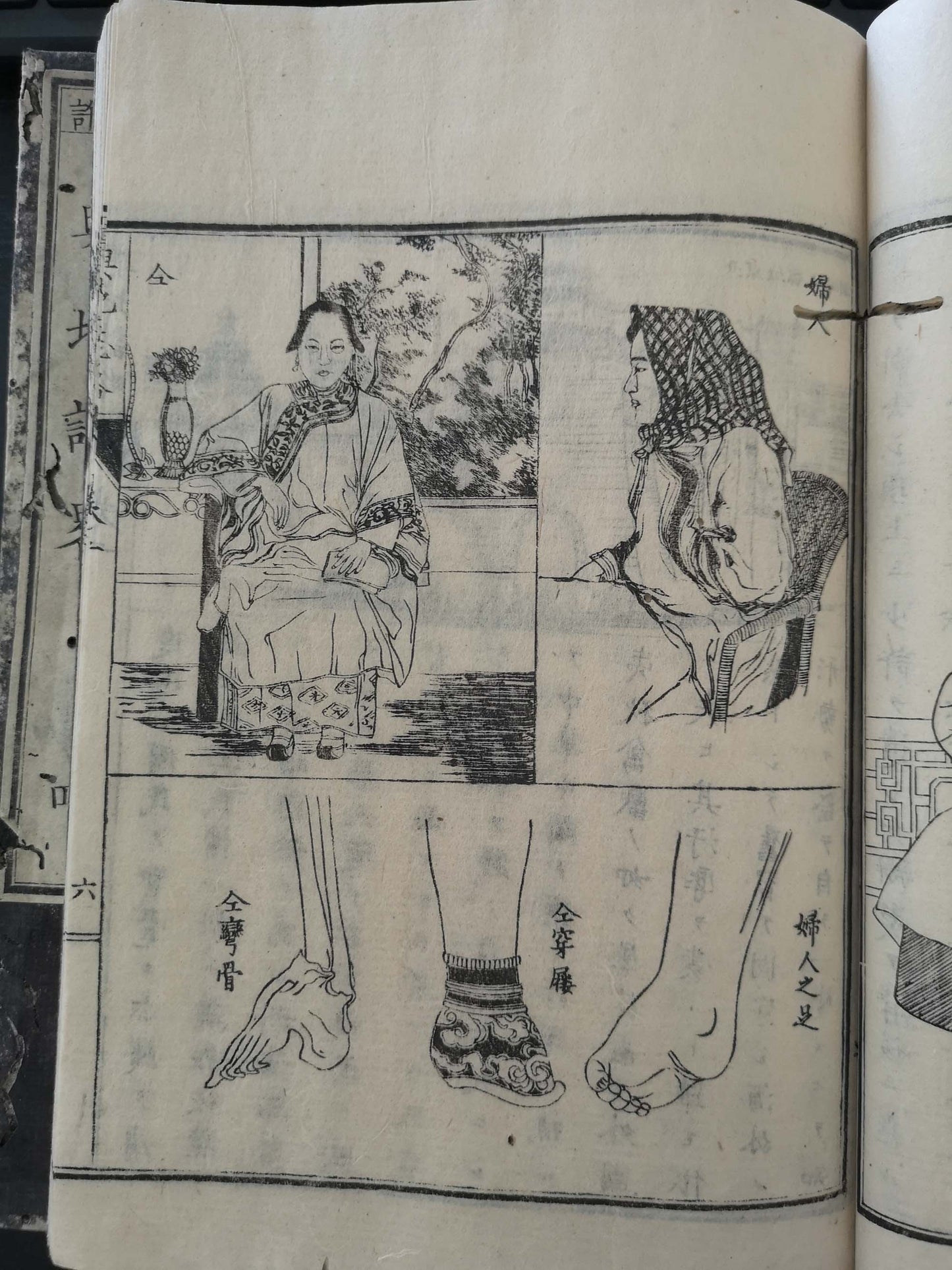
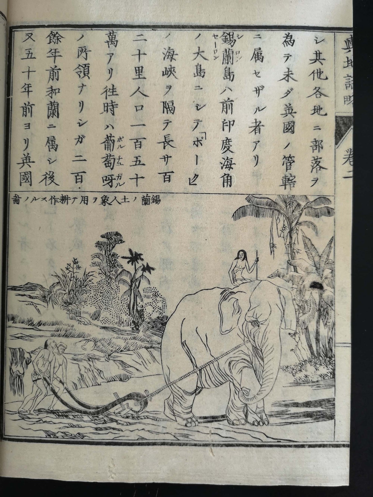
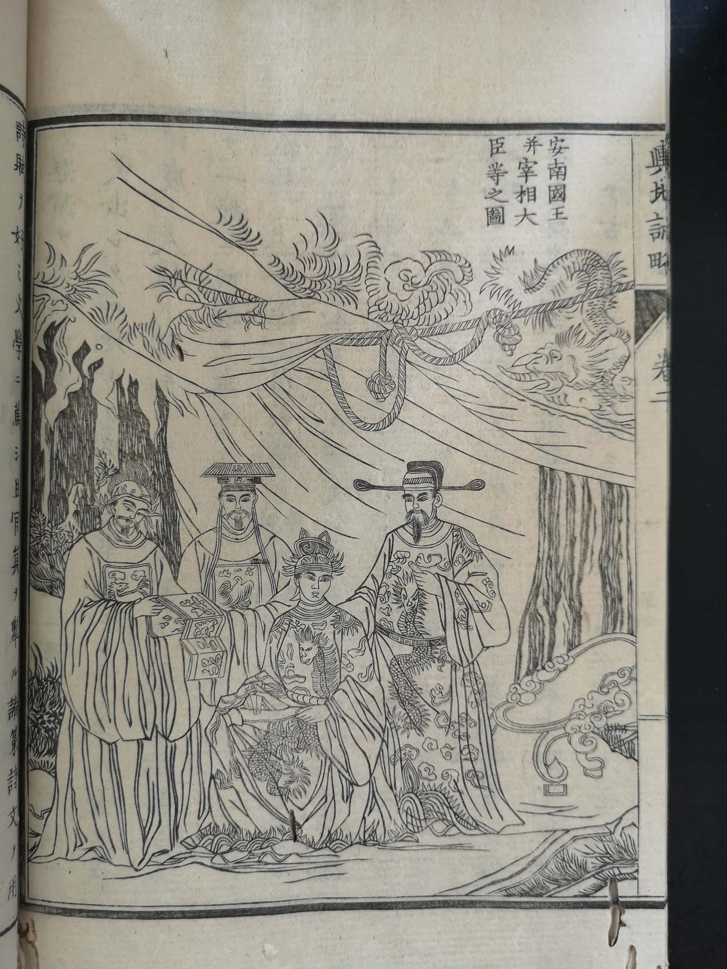
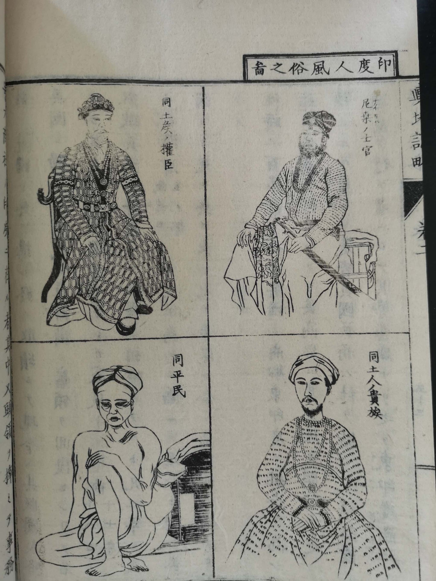
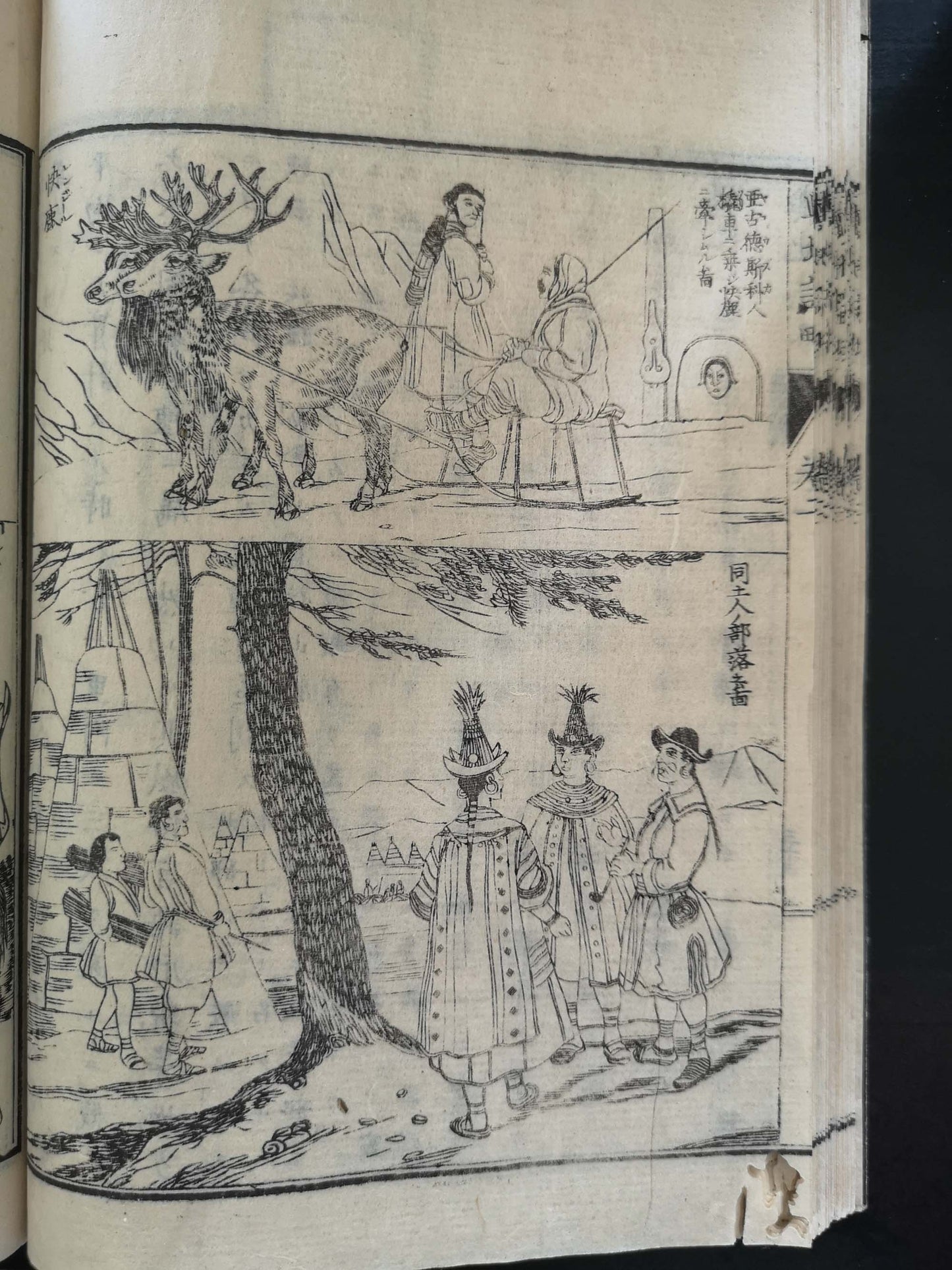
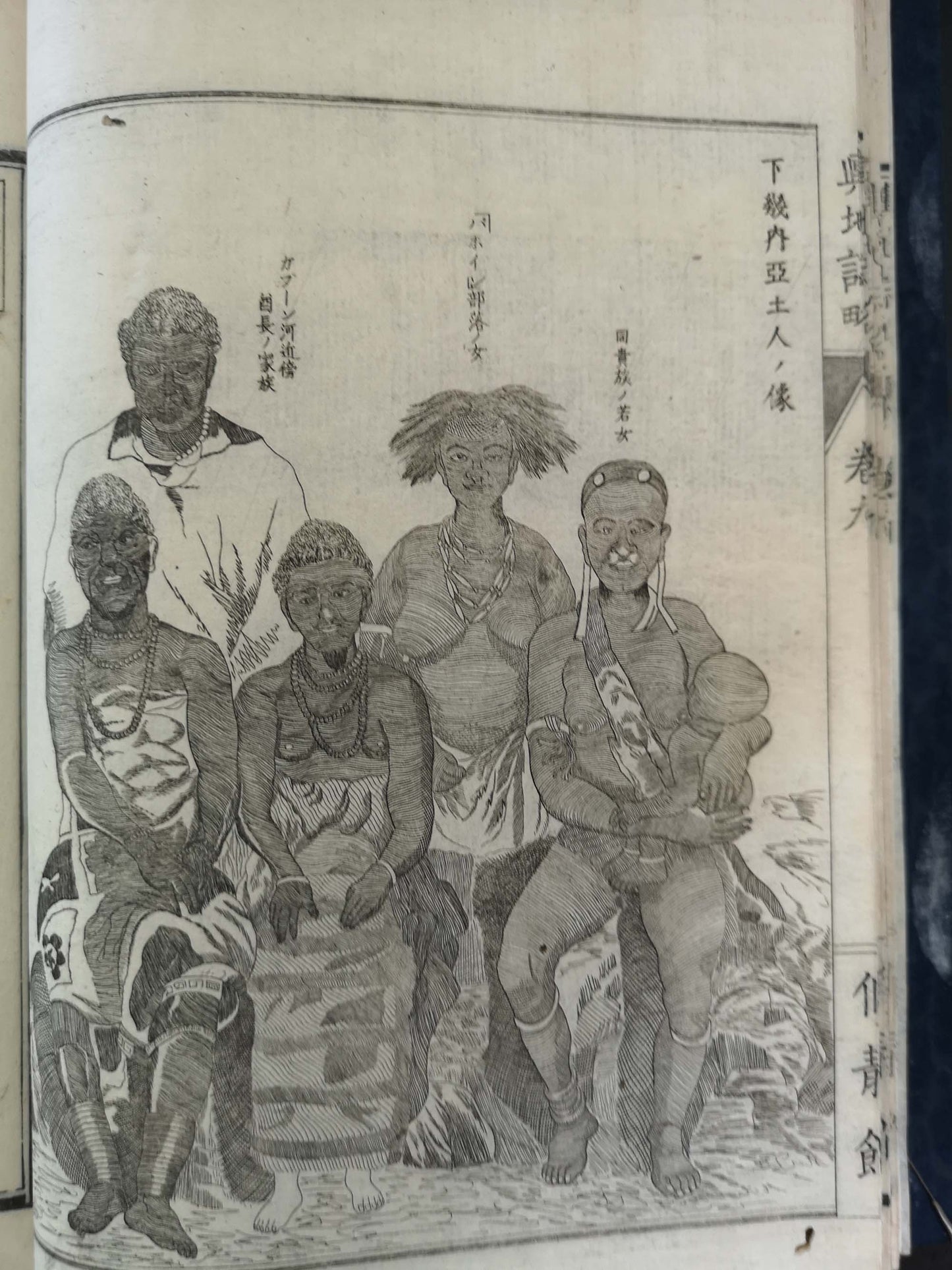
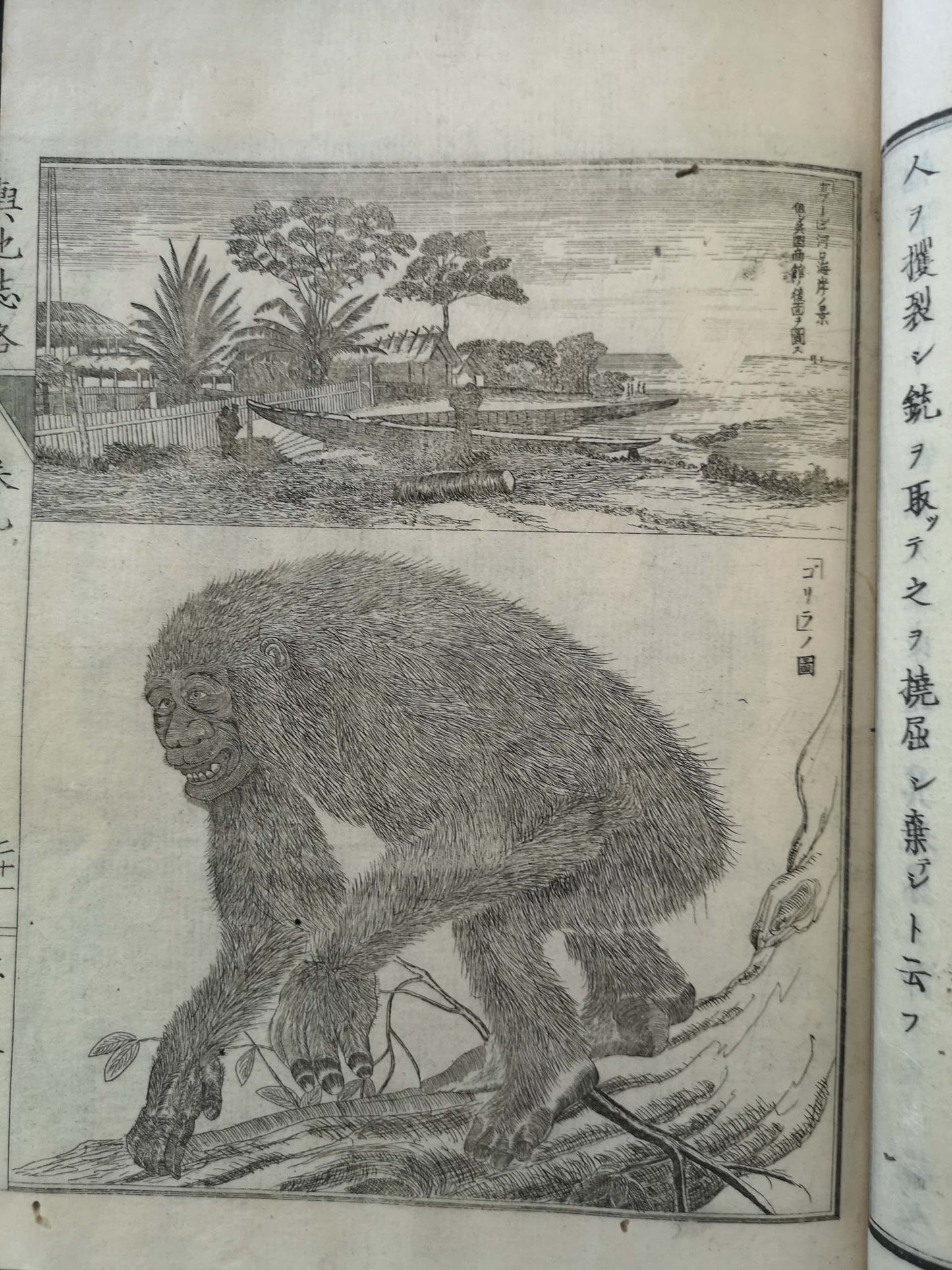
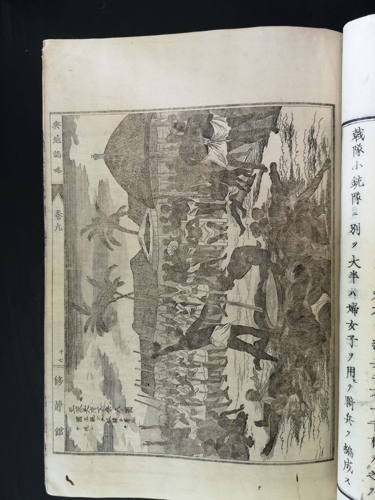
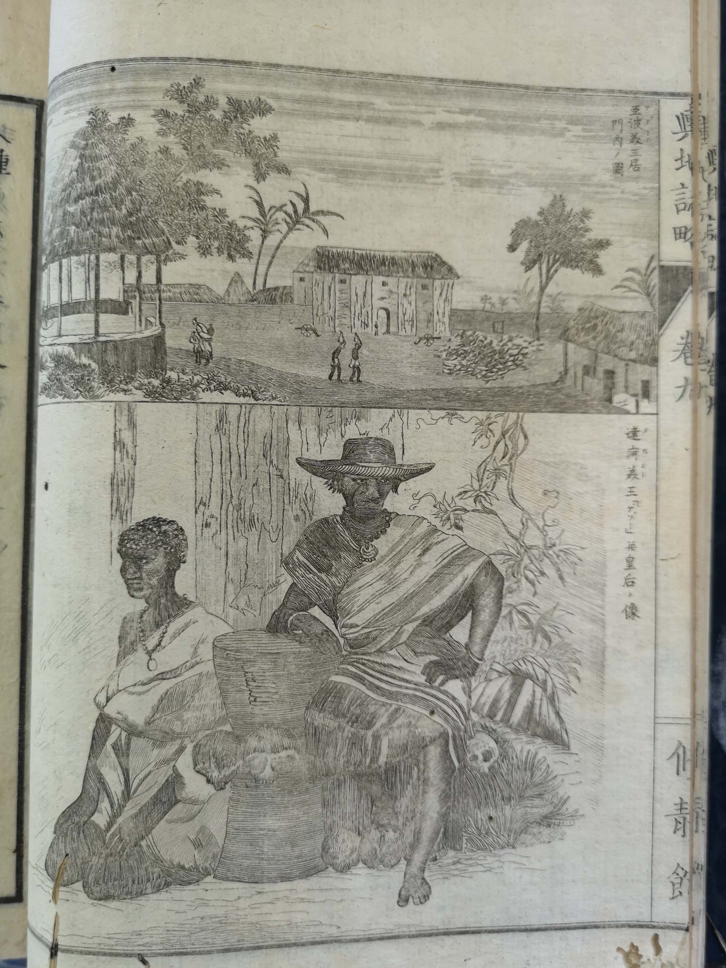
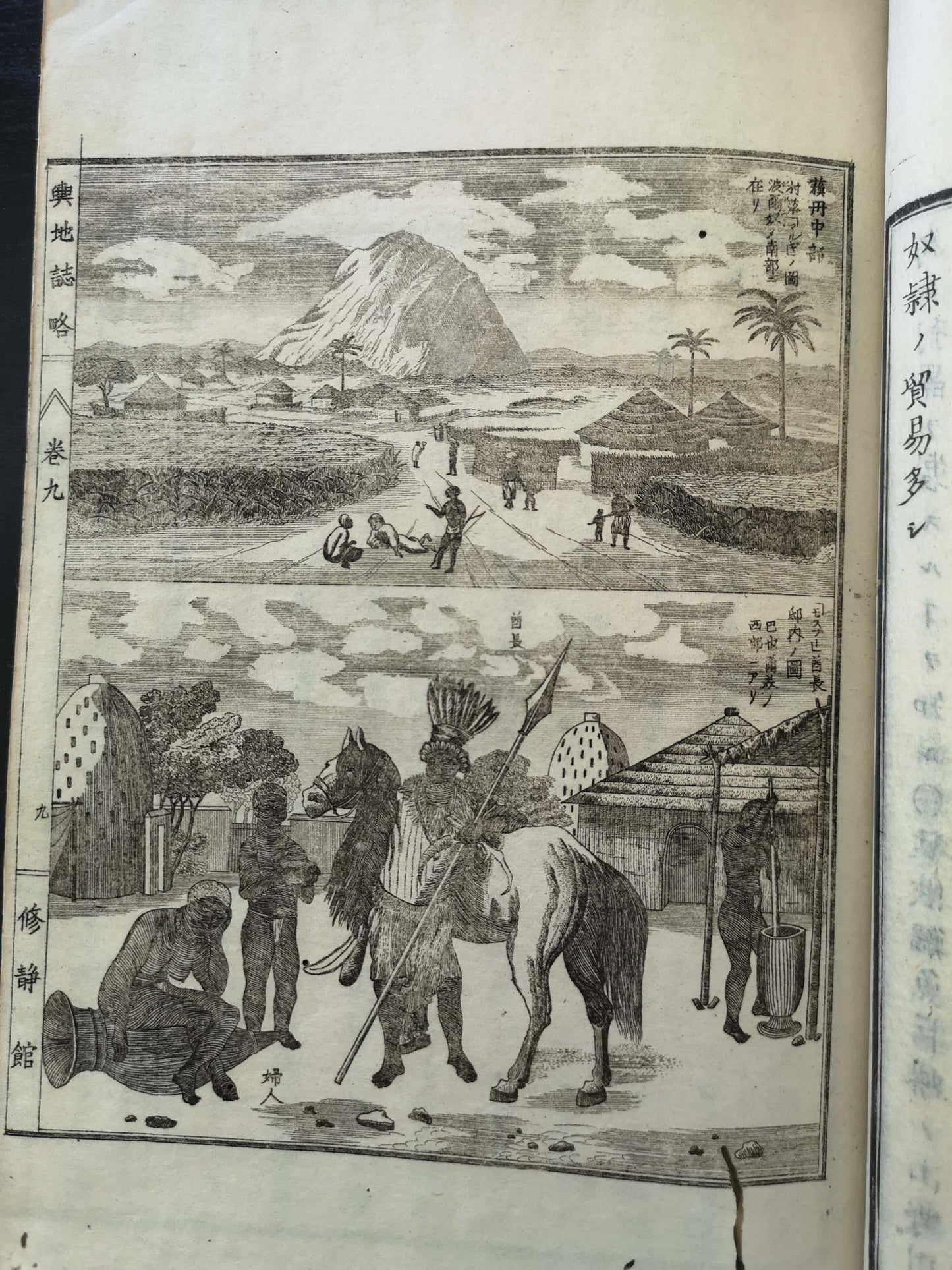
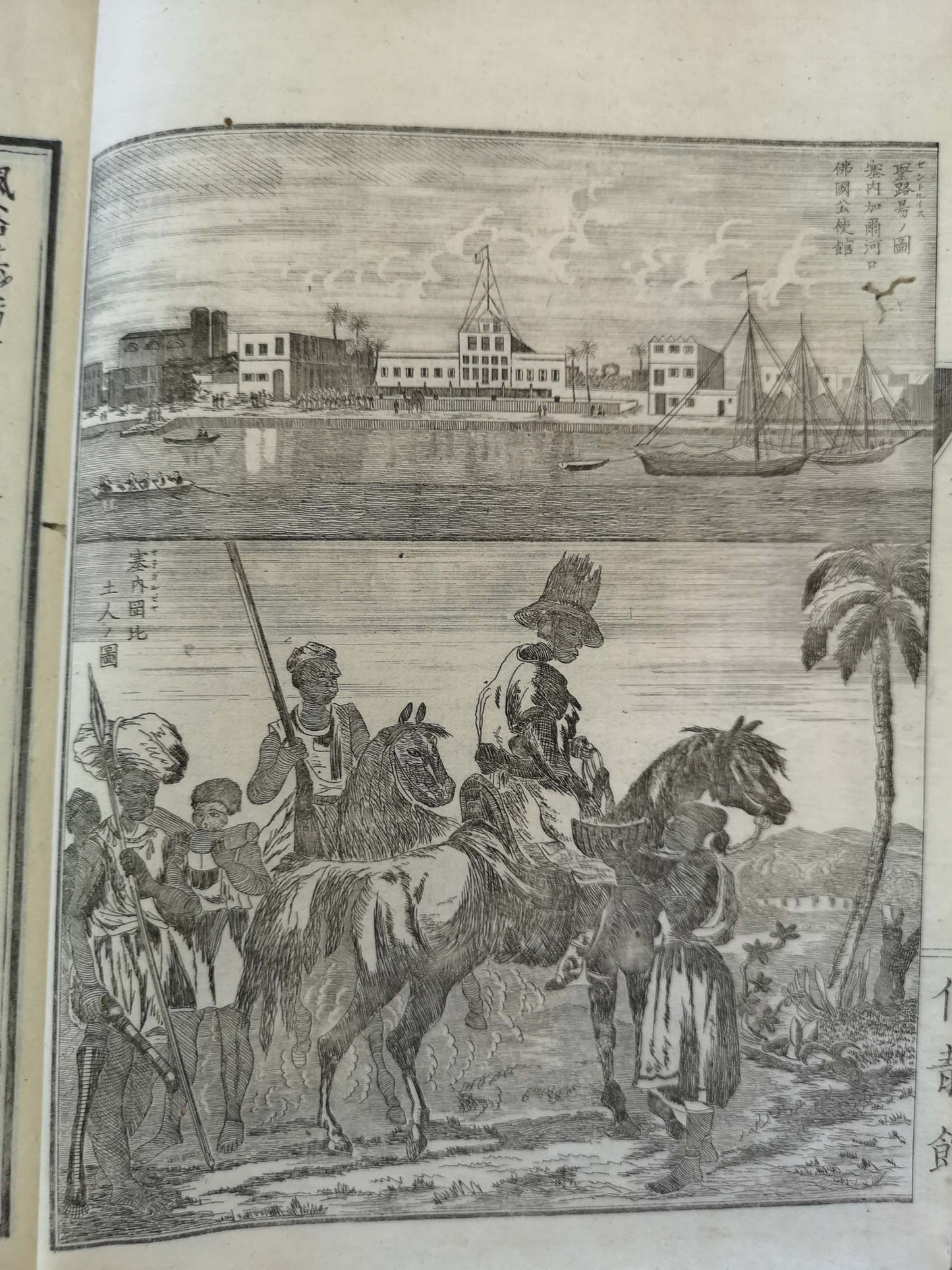
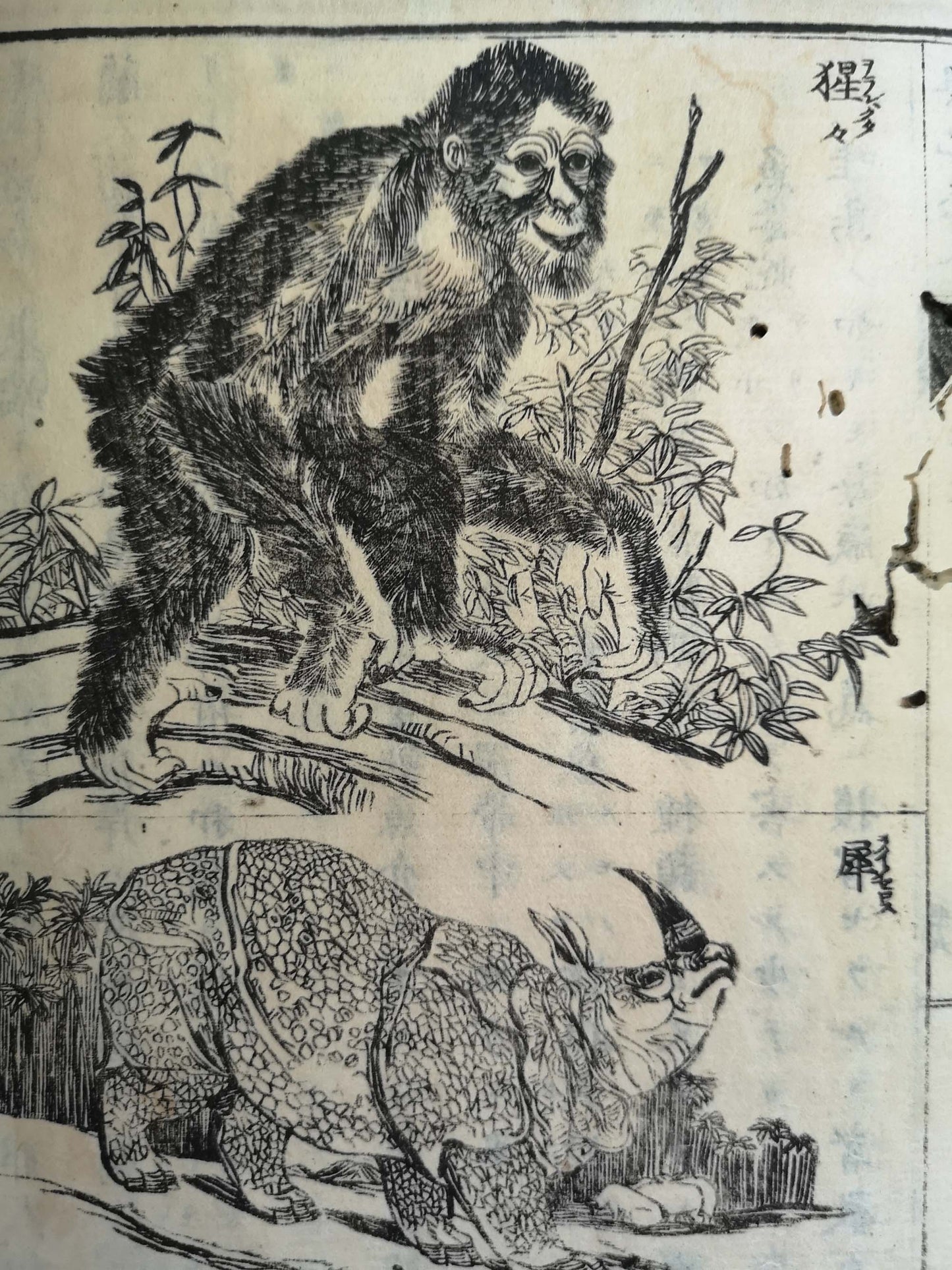
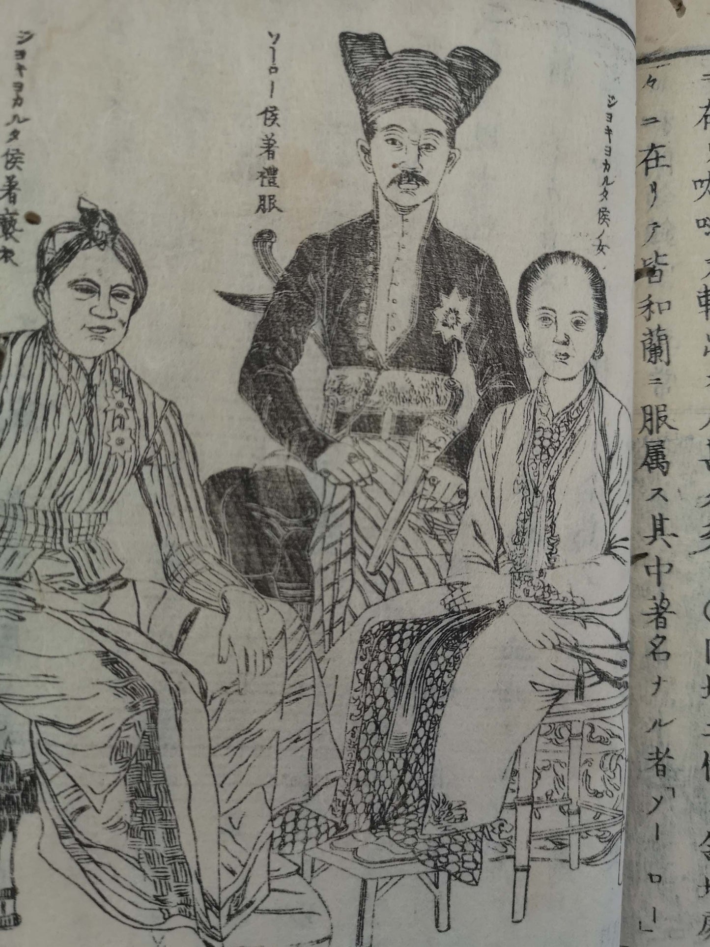
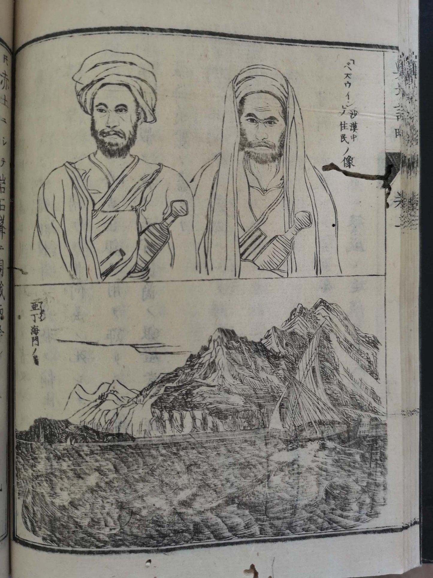
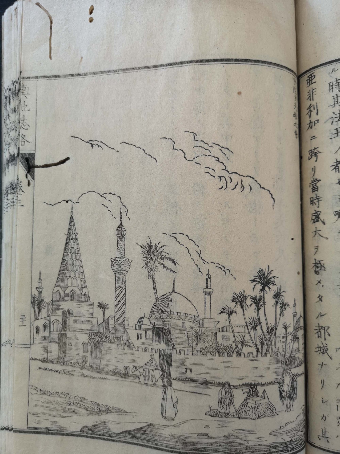
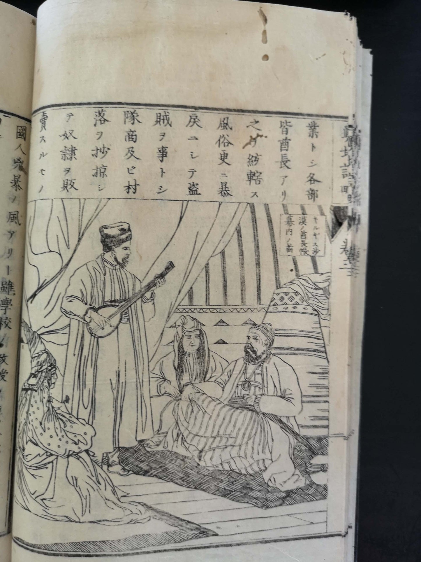
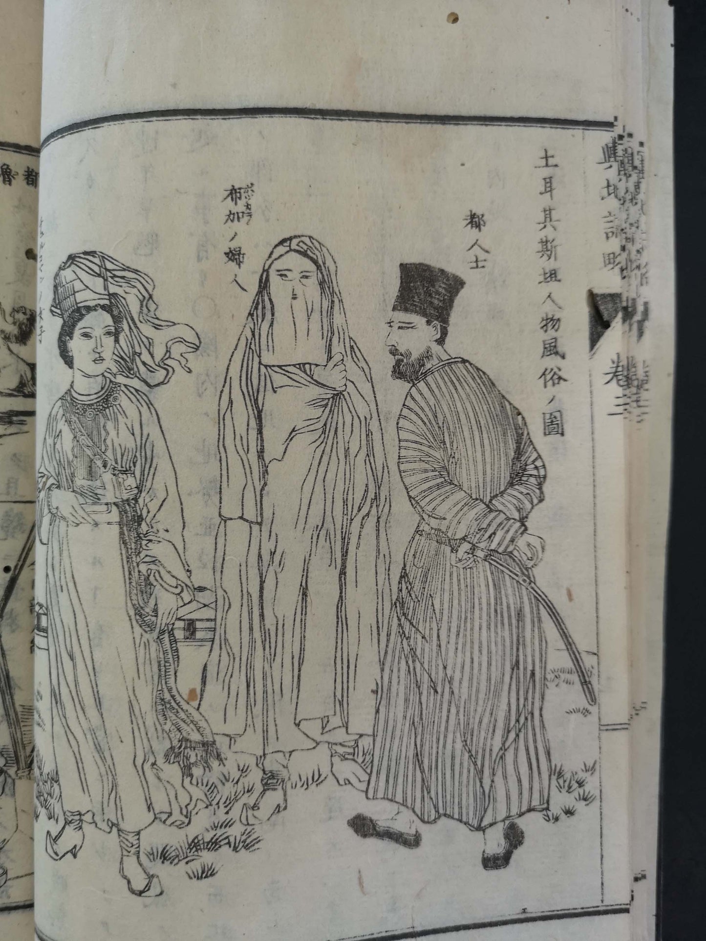
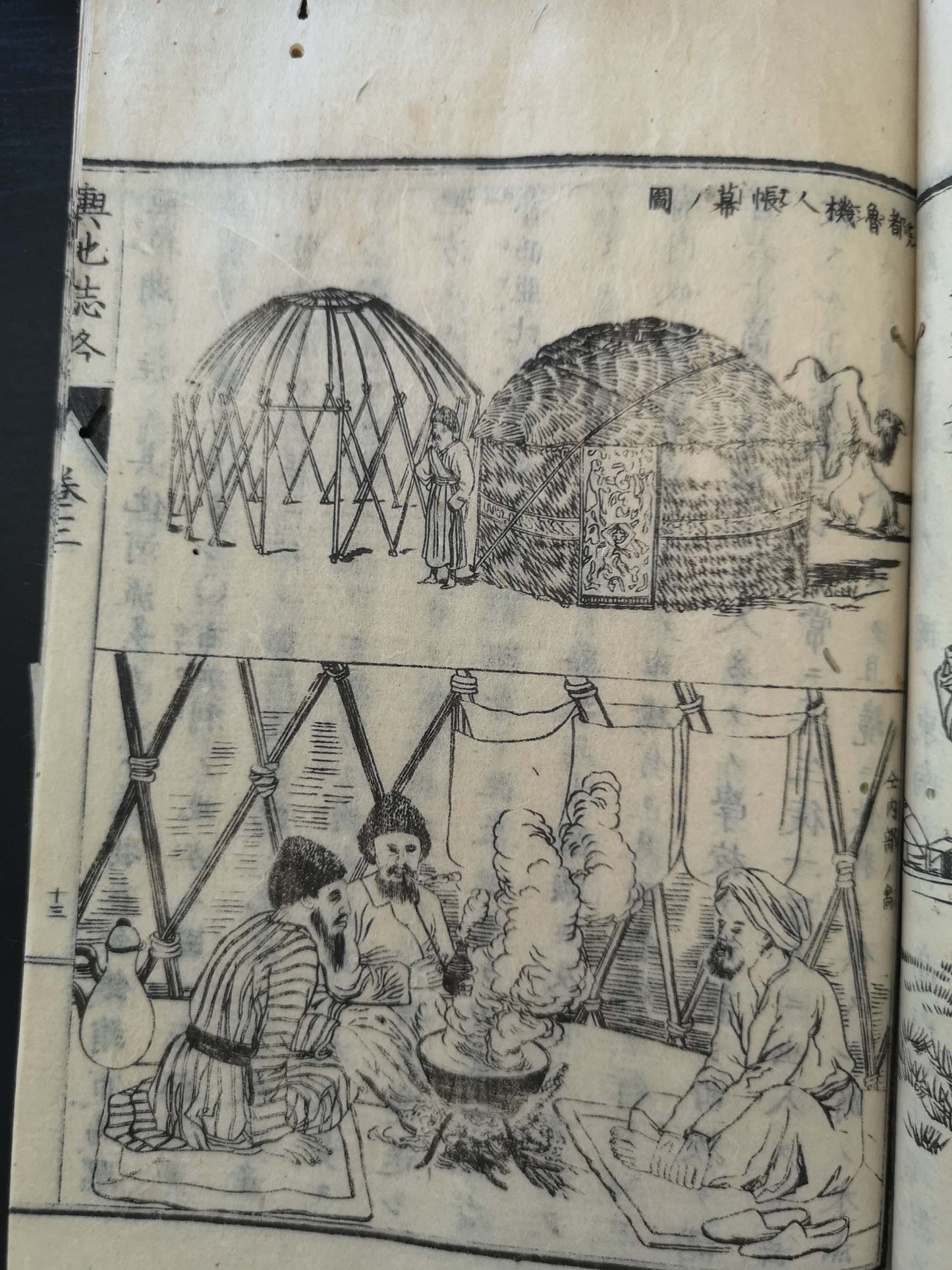
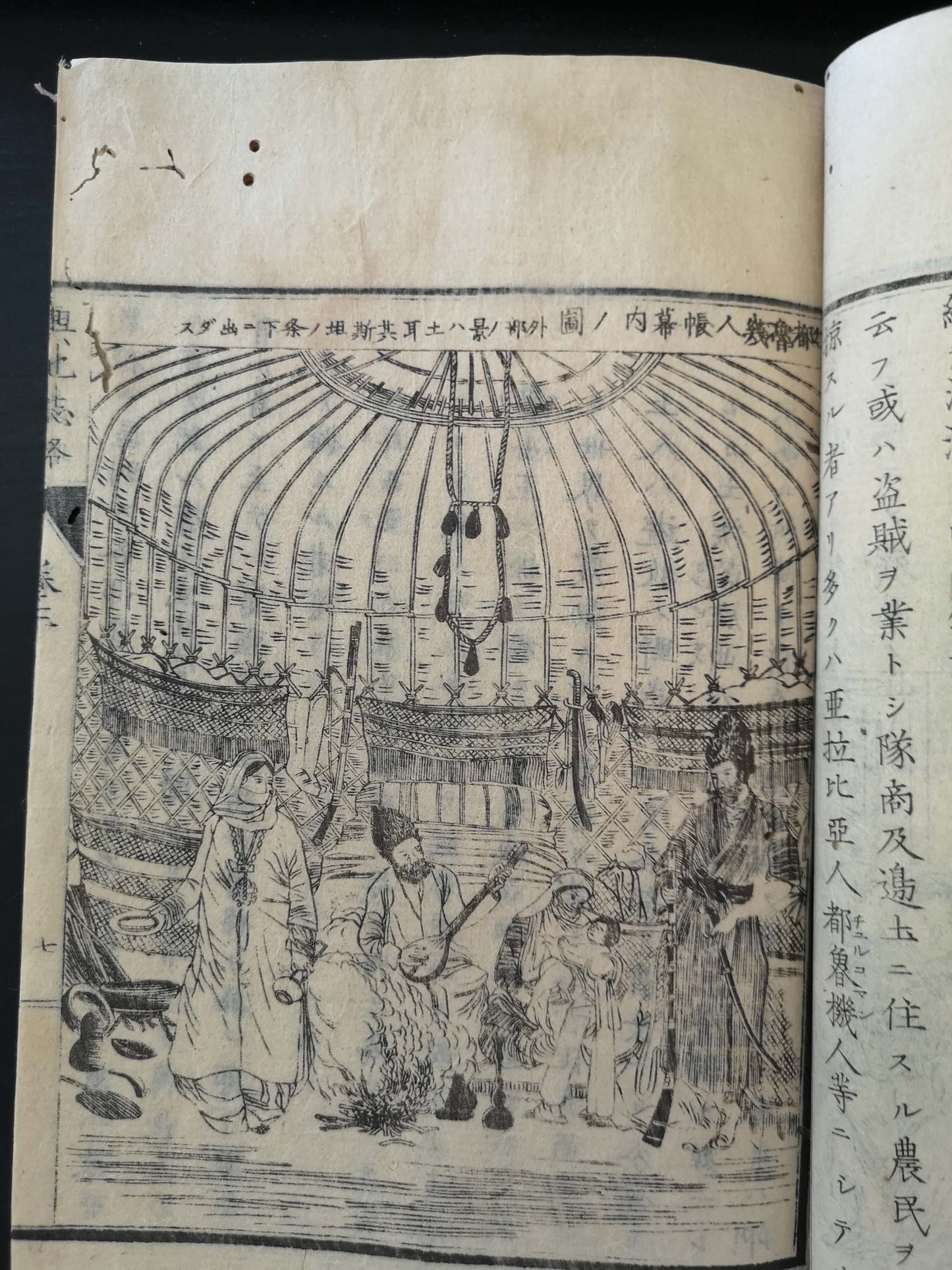
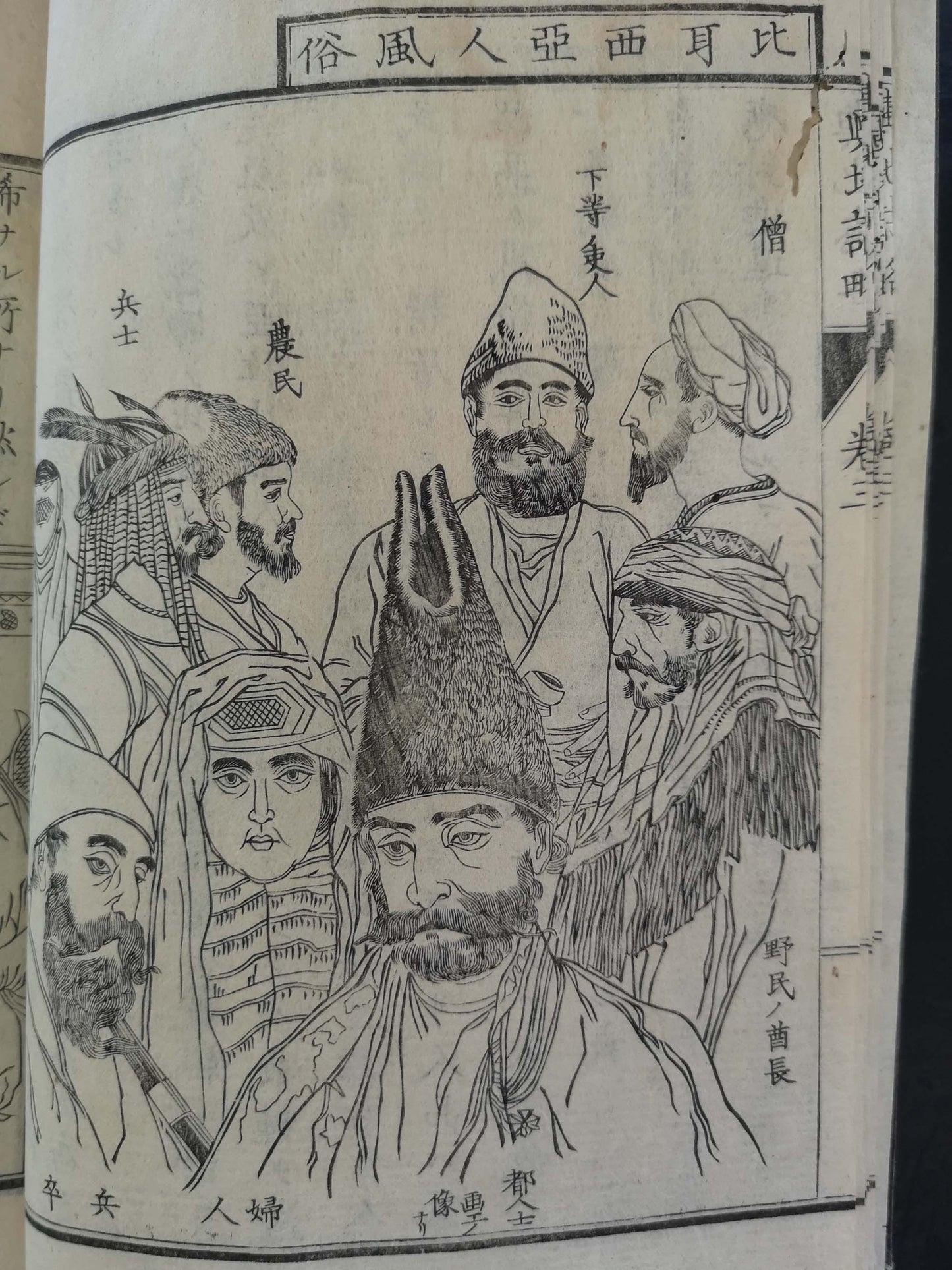
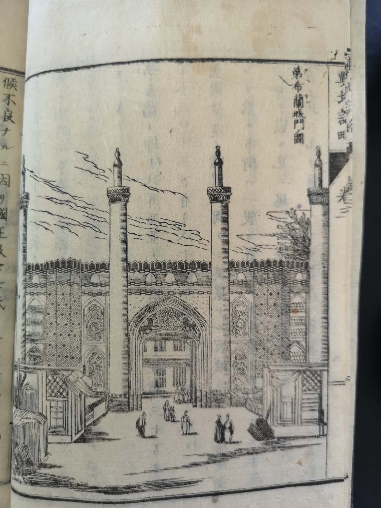
This richly illustrated world geography documents the speed with which Japan accumulated and disseminated knowledge about the outside world. Detailed information is provided on the different physiognomies, costumes and living conditions of the various people. Landscapes and views of important cities give a largely accurate picture of the living standards around the world. The first three volumes deal with the Far East (Japan, China, Central, and South-East Asia), volumes 4-7 with Europe, vols. 8 and 9 with Africa. The illustrations are taken from a wide variety of Western sources including Roberts' Holy Land; of particular interest are the varying printing processes involved in this publication, with the occasional use of copper plates from vol. 4 onwards. A further three volumes were published between 1877 and 1880, after the death of the author Uchida Masao (1838-1876).
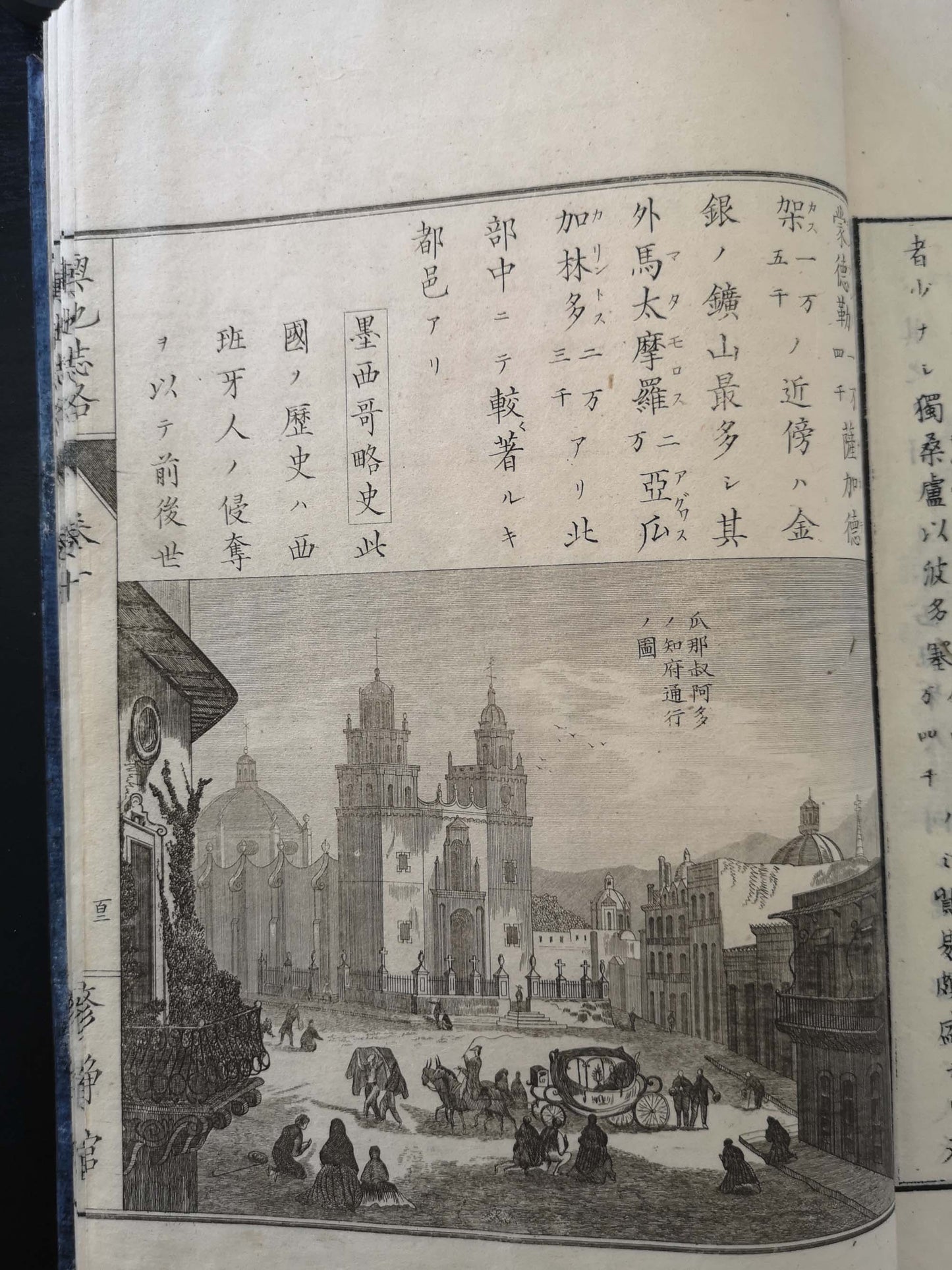
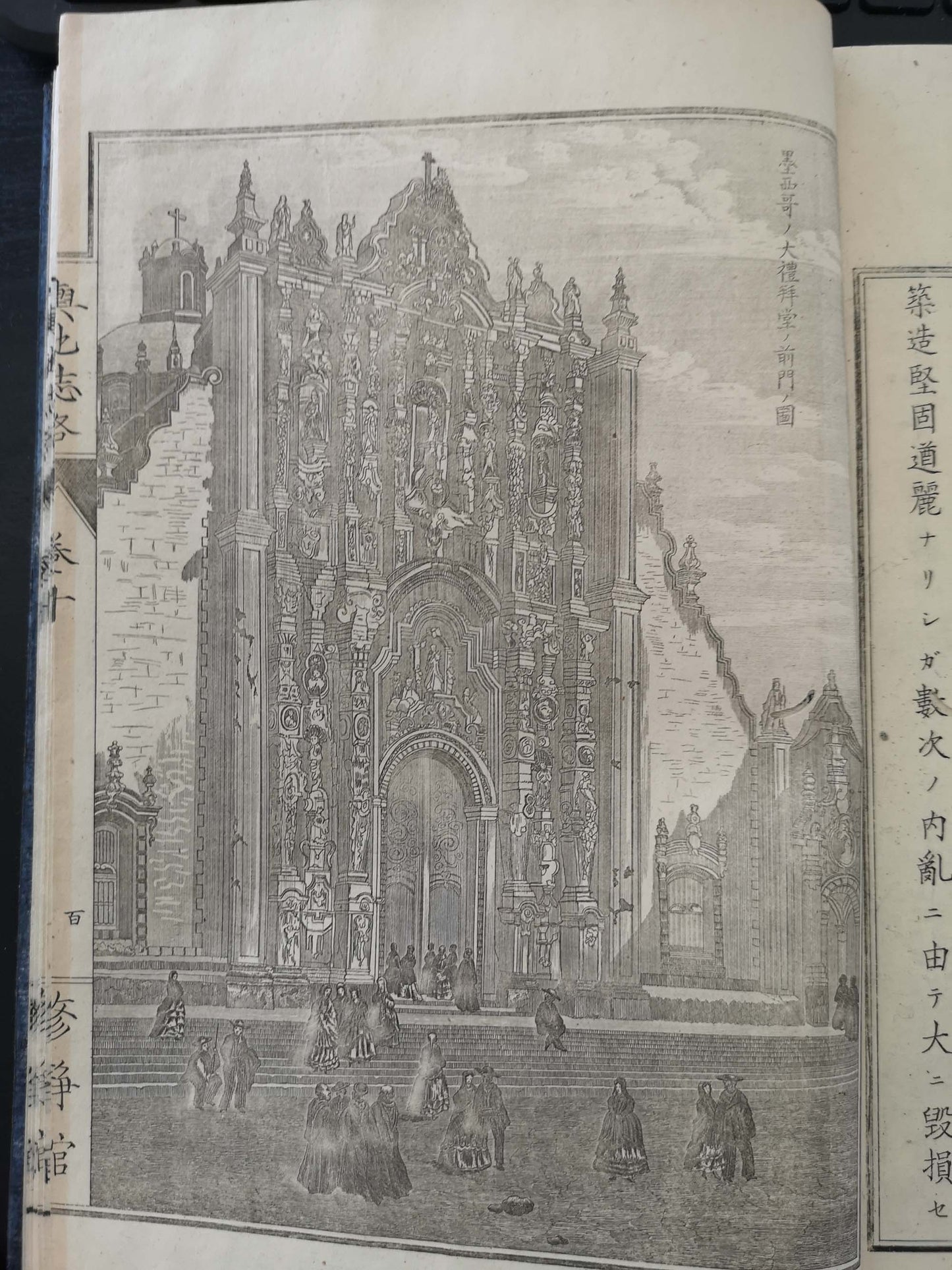
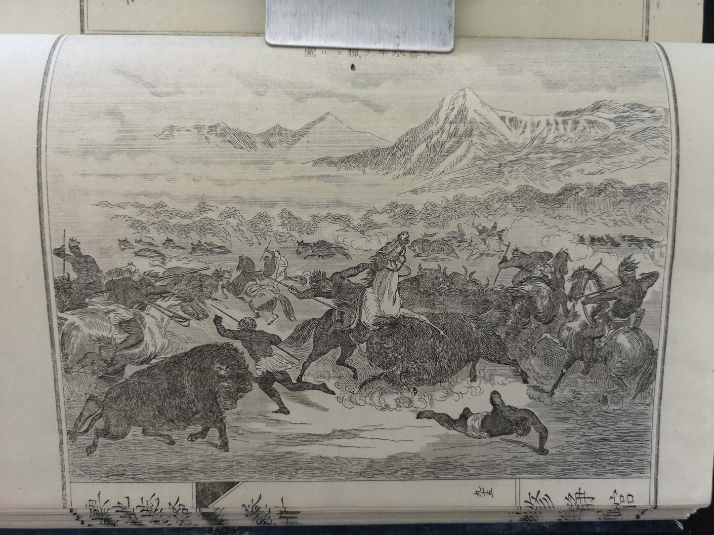
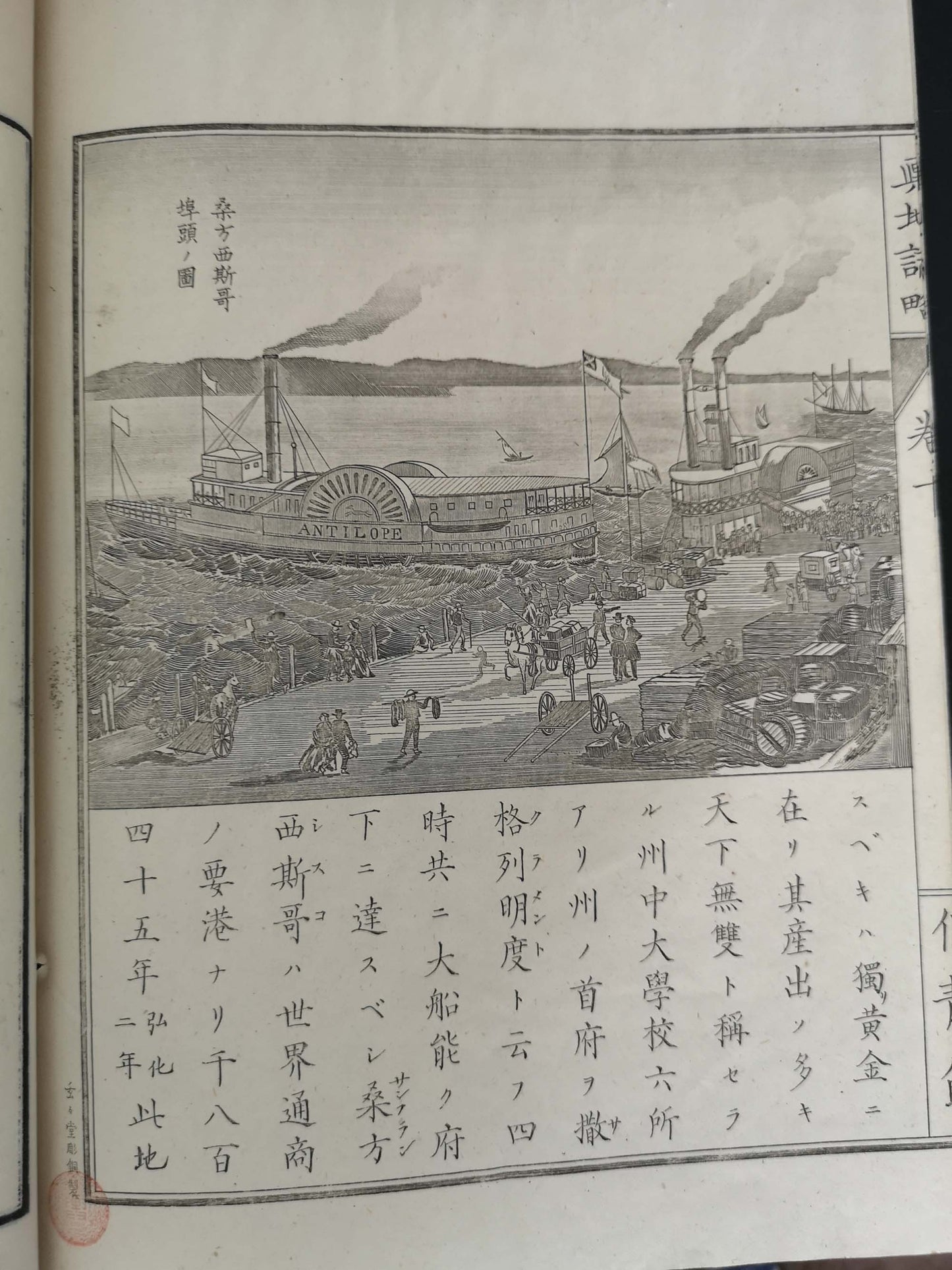
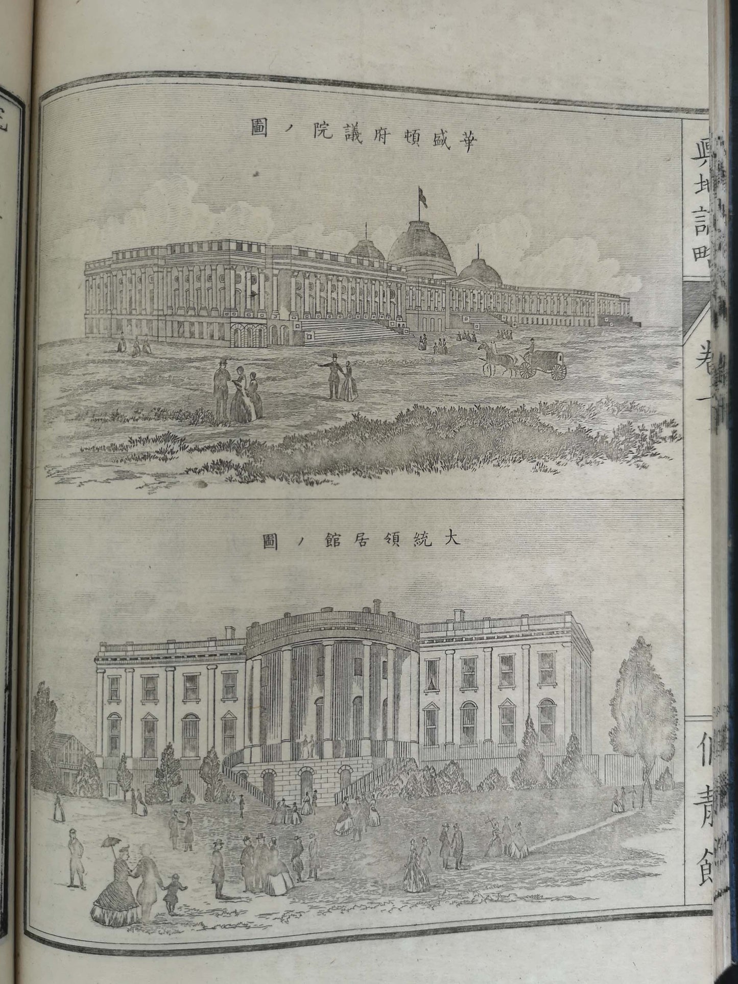
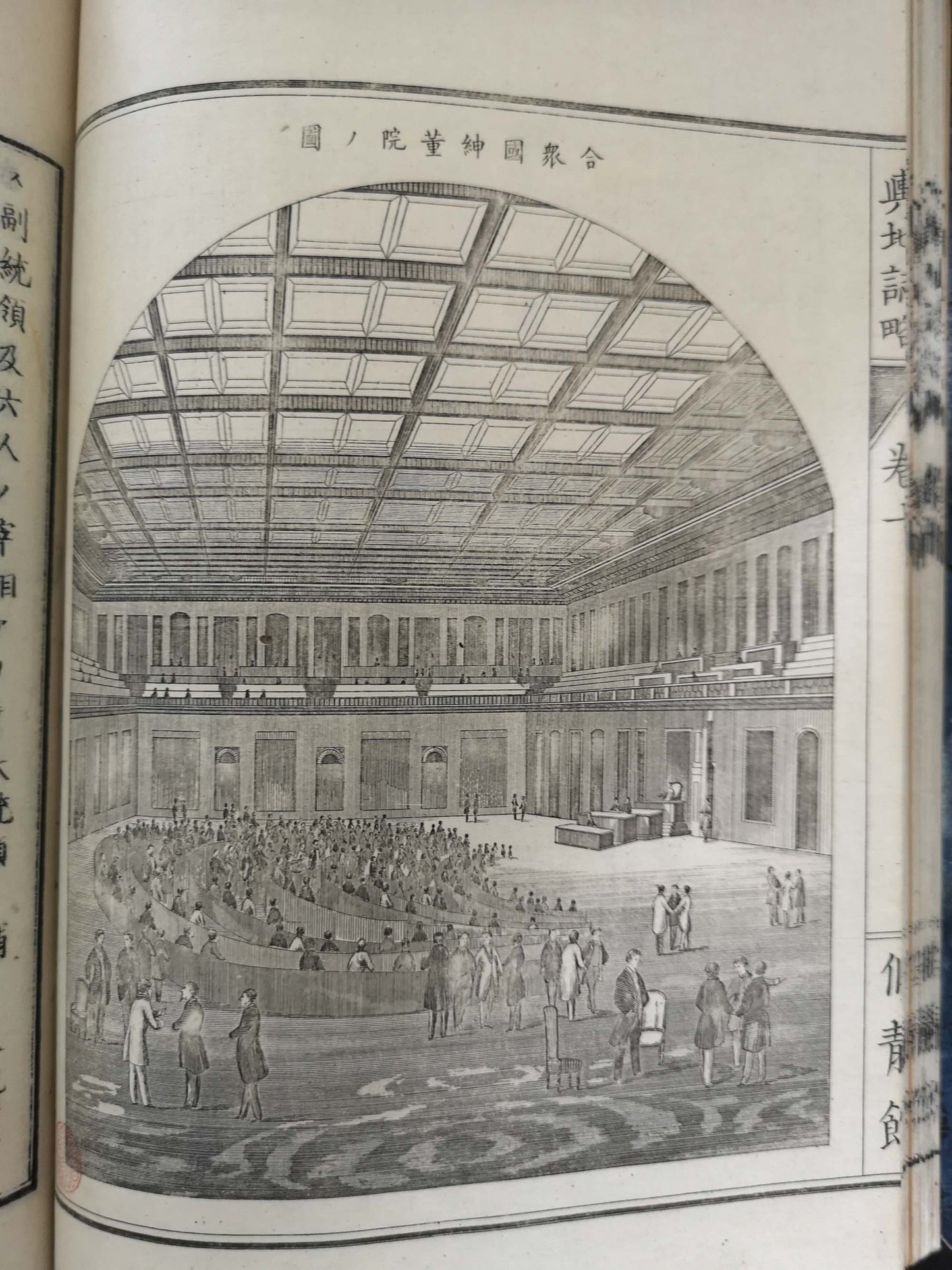
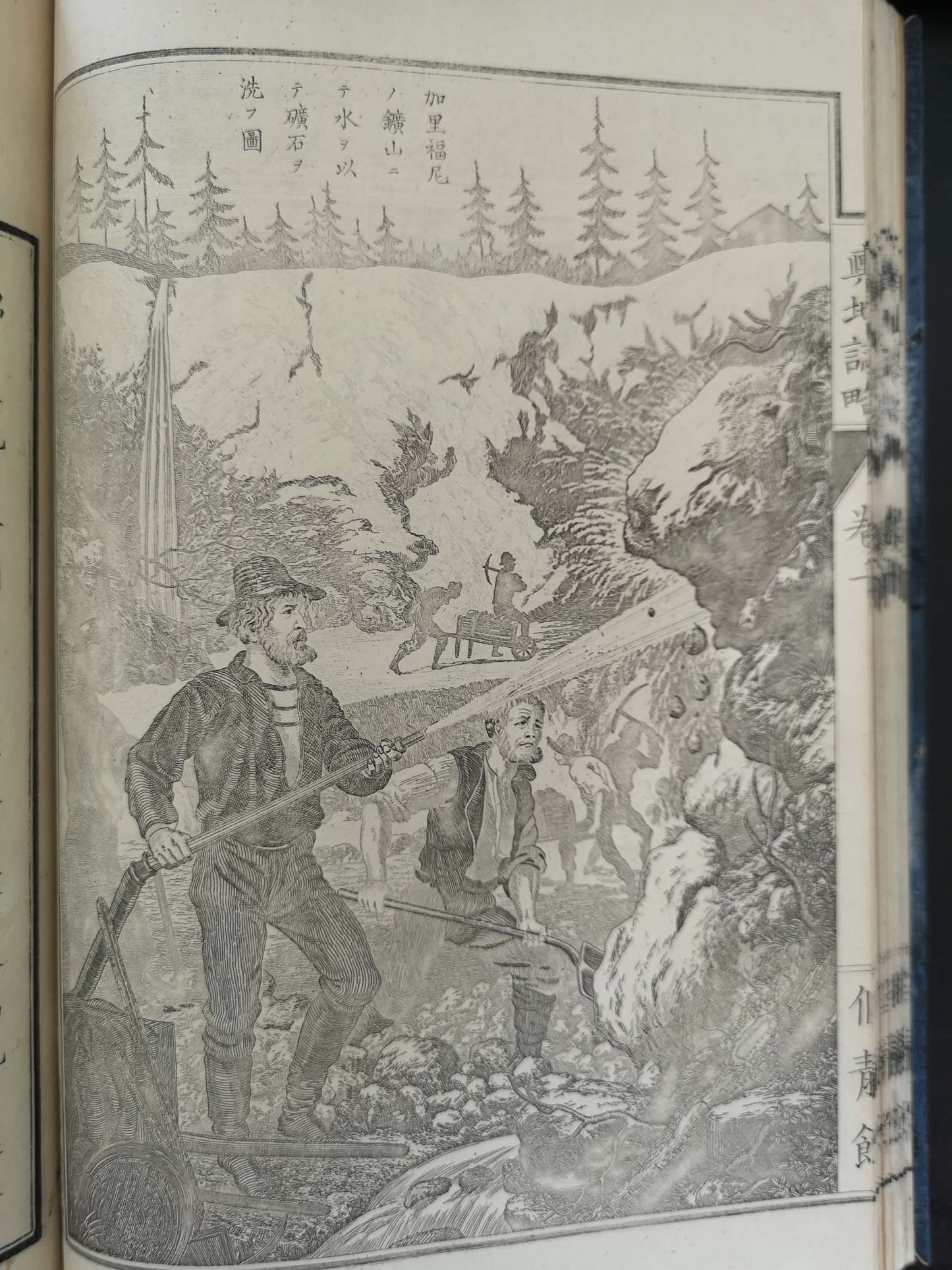
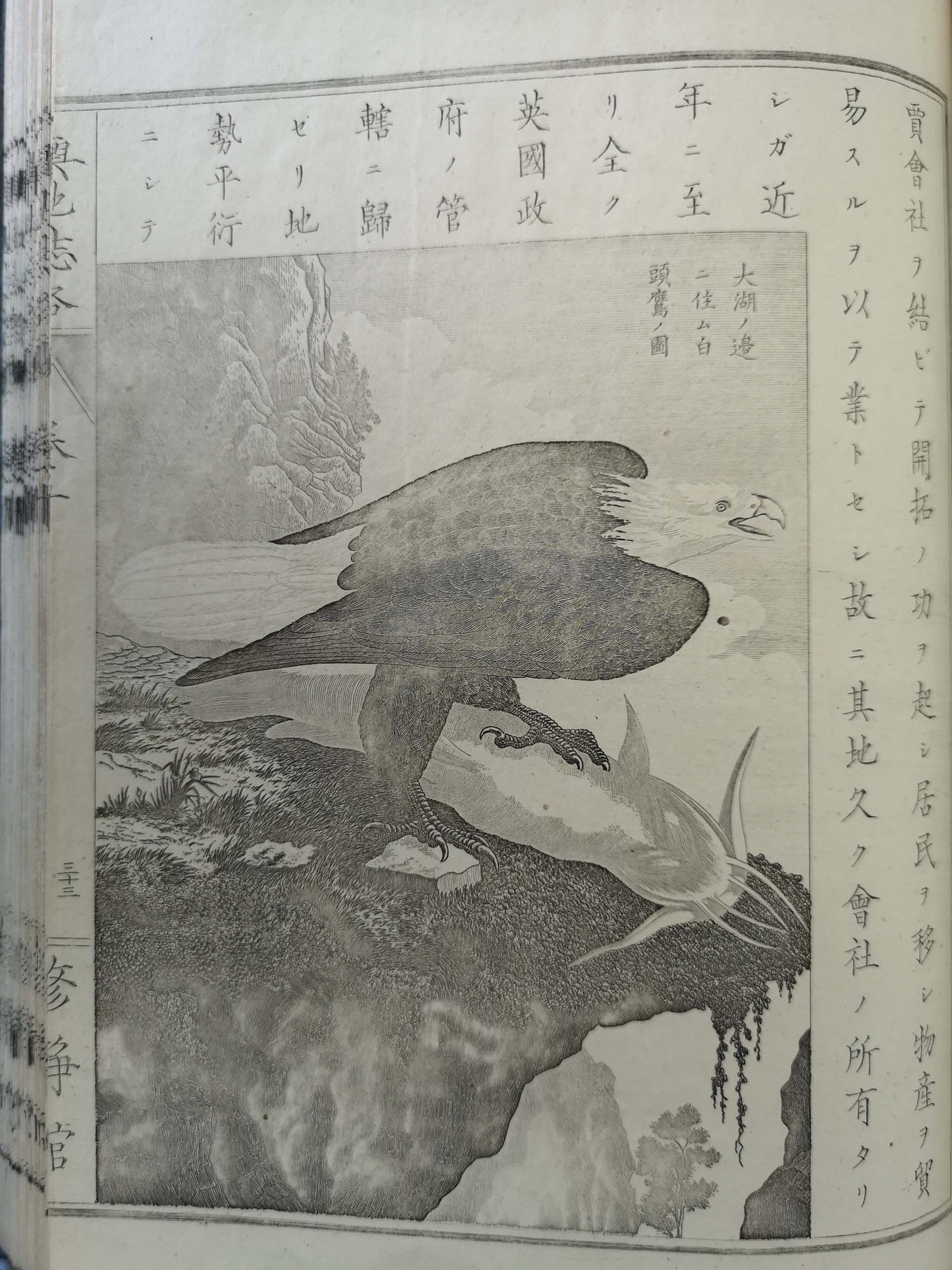
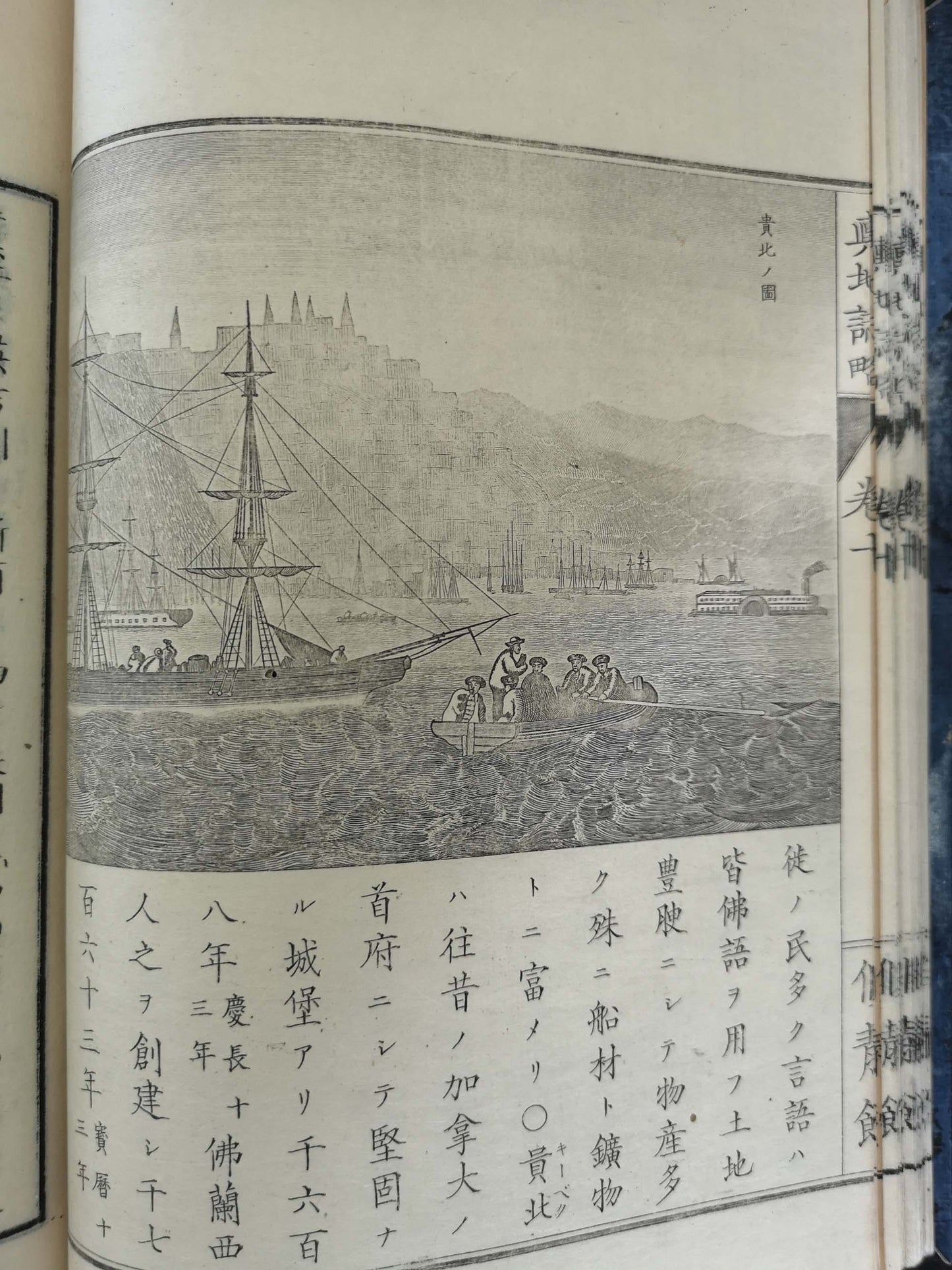
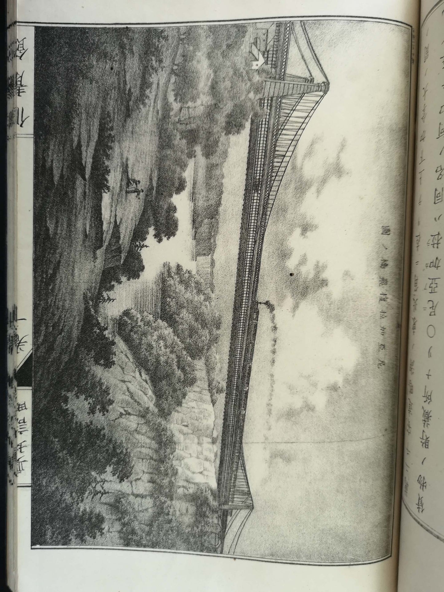
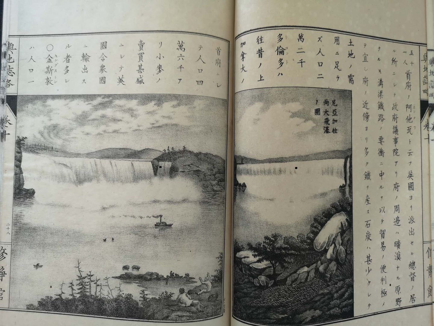
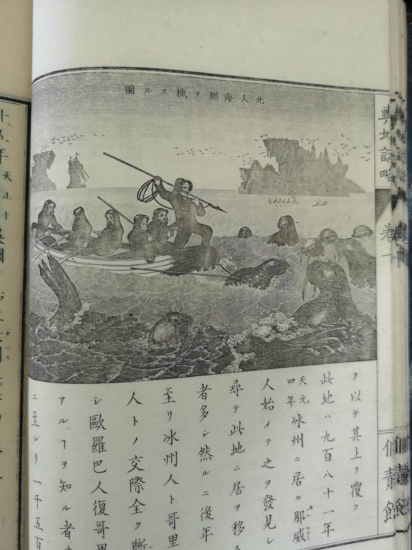
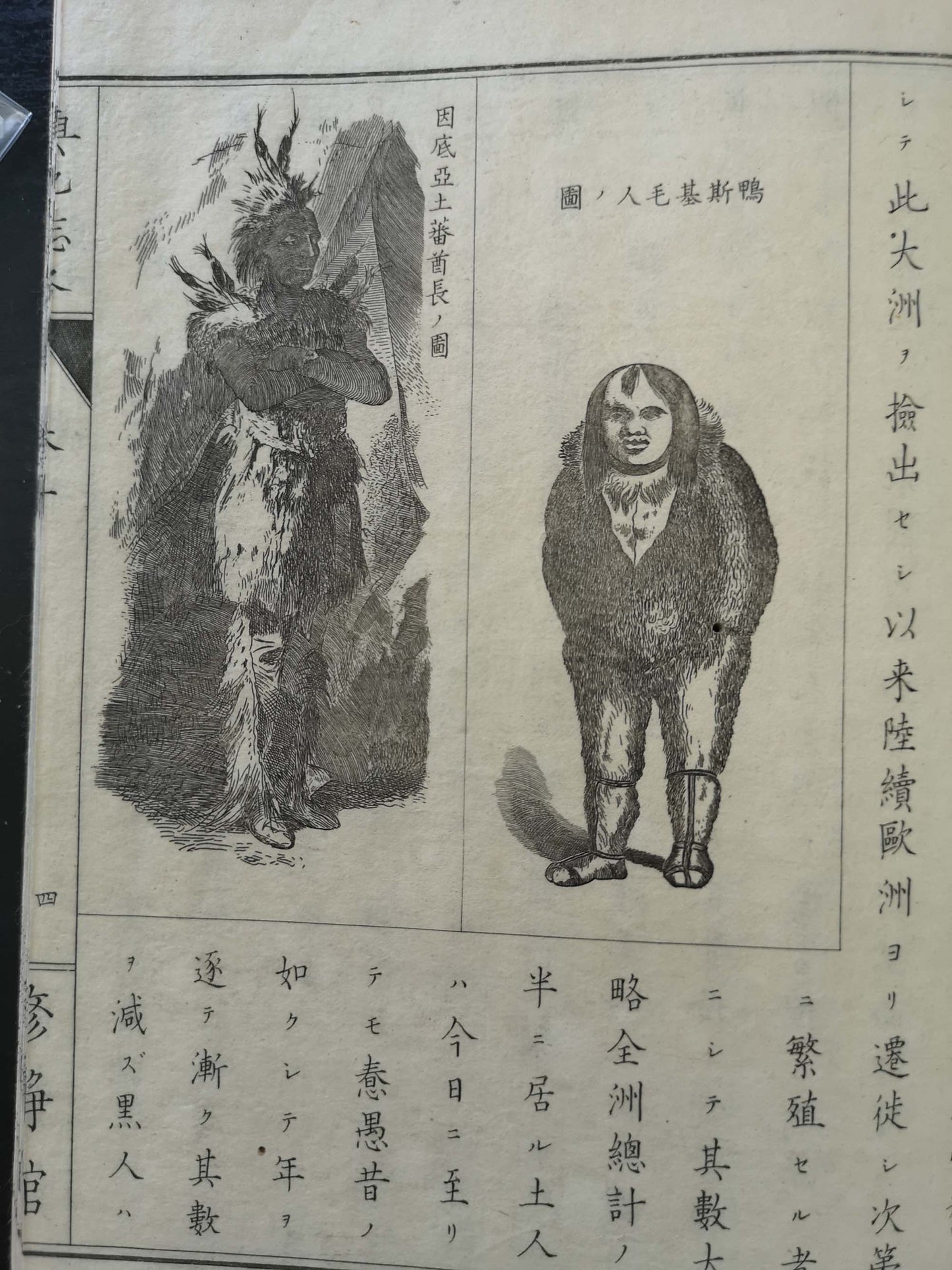
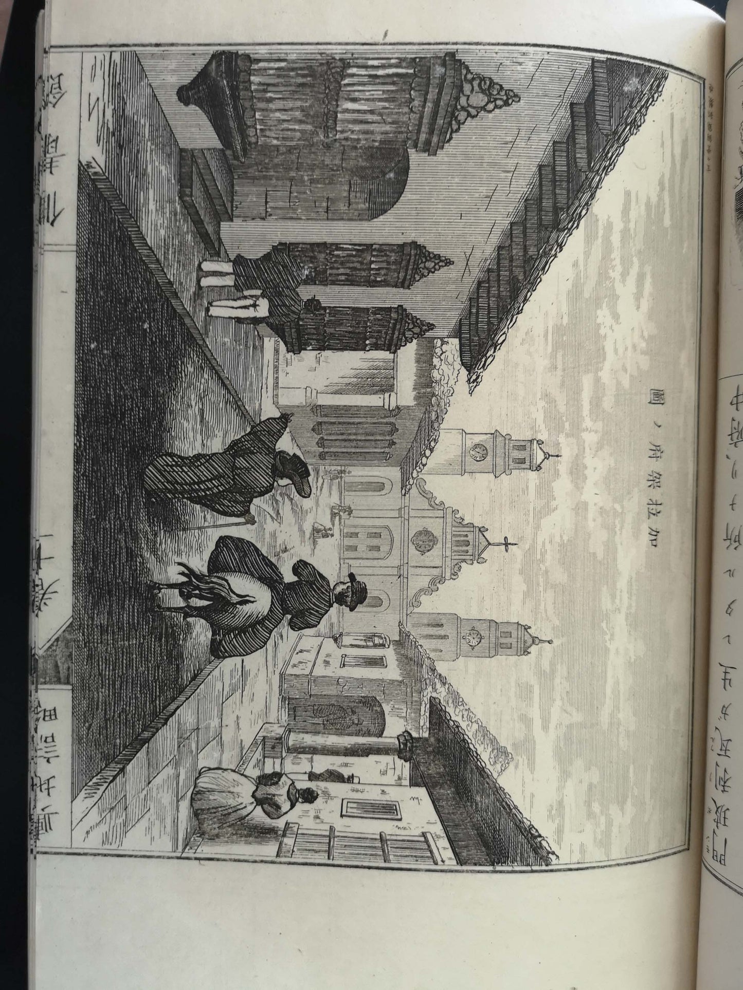
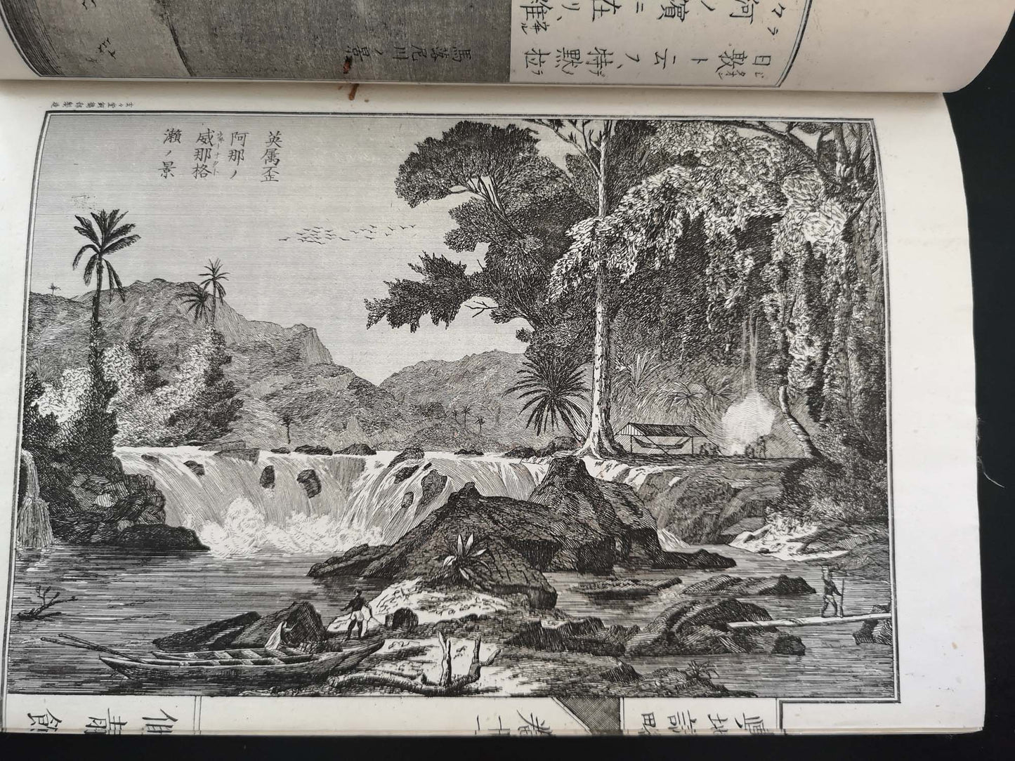
* Intriguing glimpse of the United States and Mexico through Japanese eyes, just two decades after the opening of Japan to the West by Matthew Perry. Among the many illustrations are depictions of Niagara Falls; ferry boats on the Mississippi, hydraulic mining in California; Native Americans of the Southwest; the U.S. Congress in session; the White House and the Capitol Building; Big Trees in California; a buffalo hunt; Mexico City; hunting walruses from a boat, etc.
See National Diet Library: https://dl.ndl.go.jp/info:ndljp/pid/761771 and the full set: https://archive.wul.waseda.ac.jp/kosho/ru02/ru02_03306/
Shipping insured and express by DPD/FedEx/UPS reaching anywhere in EU & US in 4-6 days.